Starting point: Famlje (390 m)
| Lat/Lon: | 45,6628°N 14,0211°E |
| |
Time of walking: 2 h 30 min
Difficulty: easy marked way
Altitude difference: 637 m
Altitude difference po putu: 637 m
Map:
Recommended equipment (summer):
Recommended equipment (winter): ice axe, crampons
Views: 13.148
 | 1 person likes this post |
Access to the starting point:
From the motorway Ljubljana - Koper, take the exit Divača and then continue towards Divaca. Before Divača, turn right towards Dolnje Ležeče and Famlje. Park at the beginning of Famlje, in a suitable place on the roadside.
Path description:
From the starting point, continue along the main road through the village, and then the signs for Vremščica direct you to the left onto a macadam road, which you can walk along to the nearby orchard. Before the orchard, the signs for Vremščica direct you slightly right to cart track, which continues between the orchard and the fields. On the other side of the fields, the path enters a low forest through which it begins to climb moderately. A little higher up, we cross an old cart track, and the path leads us under a power line, where it turns to the right. It then crosses to the right and leads directly along the railway line. After a few minutes of crossing, you arrive at Vreme railway station.
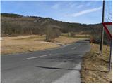
From the station, first carefully cross the double-track railway line, then start climbing moderately over a partly grassy slope. At a higher altitude, you will reach cart track, which you follow to the right to a nearby tarmac road. Follow the road to the right, and we walk along it for about 20 minutes, or more precisely to a small crossroads where a marked path (originally a road) branches off to the left towards Vremščica (you can also get here by car - starting point Loščica).
The road leads us after some 10 m to an old wagon converted into a bivouac, where it turns into cart track. Continue along the marked cart track, which climbs moderately through low forest. There are a few small forks higher up, but if you follow the markings carefully, there are no major problems with orientation. After a while, the forest thins out and the increasingly scenic route leads to a crossroads where you join the route from Matavun (Škocjanske jame).
Here we continue straight or slightly right along the less distinct cart track, which gradually turns into a forest and turns into a nice traceable path. A little higher up, the path from Senožeč joins us, and we continue straight on, climbing through another lane of forest. Higher up, the forest thins out, and the increasingly scenic path quickly leads us to the top of Vremščice.

Pictures:
 1
1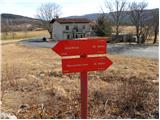 2
2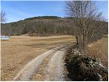 3
3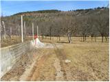 4
4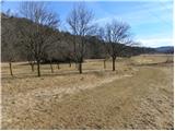 5
5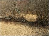 6
6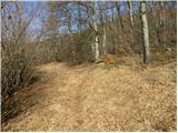 7
7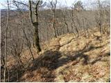 8
8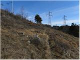 9
9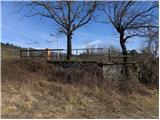 10
10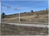 11
11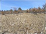 12
12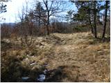 13
13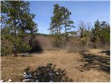 14
14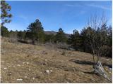 15
15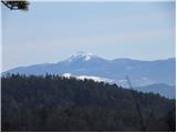 16
16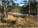 17
17 18
18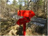 19
19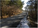 20
20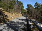 21
21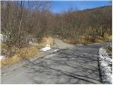 22
22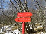 23
23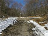 24
24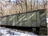 25
25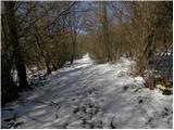 26
26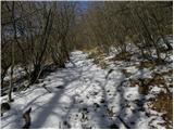 27
27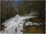 28
28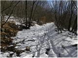 29
29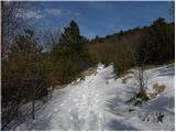 30
30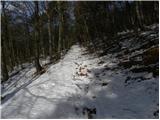 31
31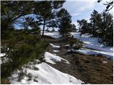 32
32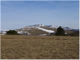 33
33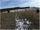 34
34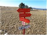 35
35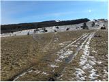 36
36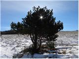 37
37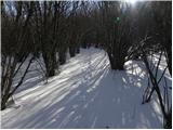 38
38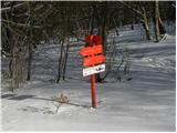 39
39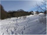 40
40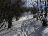 41
41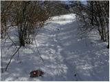 42
42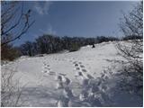 43
43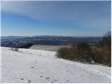 44
44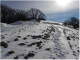 45
45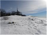 46
46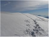 47
47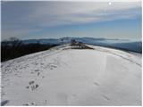 48
48 49
49
Discussion about the trail Famlje - Vremščica
|
| B215. 08. 2012 |
V opisu je narobe navedeno naslednje:
Ko pridemo pod daljnovoda, zavijemo ostro desno in hodimo po markirani stezi pod nasipom železniške proge (in ne ob progi, proga je kakih dvajset metrov nad nami!) in venomer pod dalnovodoma, do platoja (bivše!) železniške postaje Vreme (stavbe postaje ni več, porušili so jo že pred leti!). Tu, na začetku, kovinske ograje prečimo (nikjer ni prehoda!) železniško progo...
Nad asfaltirano cesto ni lovskega doma, ampak bivak - predelan iz starega vagona (navedeno zaradi lažje orientacije - da ne bi kdo iskal lovskega doma)... Ta kraj se imenuje Loščica in ne Loka (Tominčeva loka je dolina globoko pod cesto)... Torej gremo iz Loščice in ne Loke...
|
|
|