Starting point: Ceršak (310 m)
| Lat/Lon: | 46,69851°N 15,66936°E |
| |
Time of walking: 1 h 30 min
Difficulty: easy marked way
Altitude difference: 36 m
Altitude difference po putu: 125 m
Map:
Recommended equipment (summer):
Recommended equipment (winter): ice axe, crampons
Views: 68
 | 1 person likes this post |
Access to the starting point:
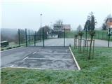
Leave the Maribor - Graz/Graz motorway at the Šentilj exit, then from the junction in Šentilj continue straight on to Sladki Vrh, and from the nearby roundabout also follow the signs for Sladki Vrh. There is a bit of a climb, and at the top of the climb, before the road starts to visibly descend, turn left towards the village of Ceršak. Then drive to the above-mentioned settlement, where you can park in the parking lot next to the sports ground, but you can also park in another suitable parking lot in the settlement.
Path description:
From the parking lot, go back a few 10 steps and turn onto Ceršak Street, following the signs at a few junctions. We quickly reach a small children's playground, where we see red mountain direction signs, and we turn onto Vojaško cesta, where there are signs for Šentilj and Brloge. The path initially leads us between individual houses, then the settlement ends and we follow a dirt road to a small hamlet, which ends with a dilapidated JNA caravan, where there is a play park.
Go around the building on the left and then the path turns into a forest through which you gradually start to descend more steeply. At a lower level you reach a wider cart track, which you follow for a few steps to the right towards the river Mura, soon turning left onto another cart track. Leave the wider cart track after a few steps and continue slightly right on the path that continues along the Mura River channel. Continue along the water for a short distance and then the signs lead you left into the woods, where you first cross a small bridge and then climb steeply along a fenced path. Climb steeply for a few minutes, and after the bench the steepness begins to ease, and when you reach the forest logging trail go left. There is some scrambling to the left, and then you arrive at a marked crossroads where you continue straight on (sharp right is the ridge of Gradišče, where there are many Celtic Trail signposts). Just a little further on from the crossroads you arrive at the Gradišče Novine entry box on the Šentilj trail.
Description and pictures refer to the situation in December 2022.

Pictures:
 1
1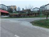 2
2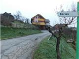 3
3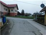 4
4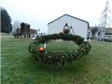 5
5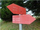 6
6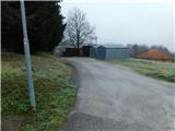 7
7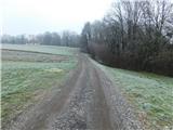 8
8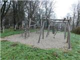 9
9 10
10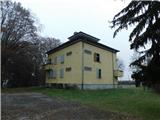 11
11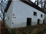 12
12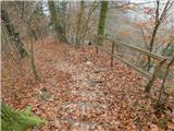 13
13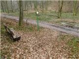 14
14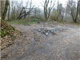 15
15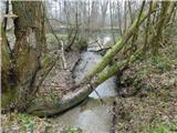 16
16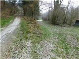 17
17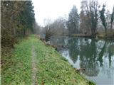 18
18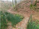 19
19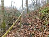 20
20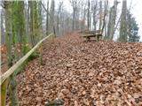 21
21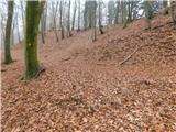 22
22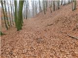 23
23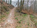 24
24 25
25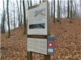 26
26
Discussion about the trail Ceršak - Gradišče Novine