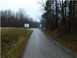
Budinci (border crossing) - Mali Triglav (Andovci) / Kis Triglav (Orfalu) (on marked path)
Starting point: Budinci (border crossing) (335 m)
| Lat/Lon: | 46,87243°N 16,25978°E |
| |
Name of path: on marked path
Time of walking: 35 min
Difficulty: easy marked way
Altitude difference: -17 m
Altitude difference po putu: 30 m
Map: Pomurje 1:40.000
Recommended equipment (summer):
Recommended equipment (winter):
Views: 71
 | 1 person likes this post |
Access to the starting point:
Path description:
Pictures:
 1
1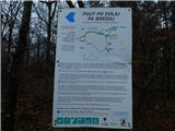 2
2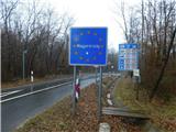 3
3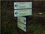 4
4 5
5 6
6 7
7 8
8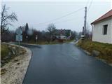 9
9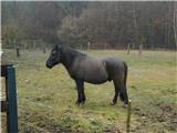 10
10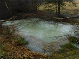 11
11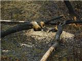 12
12 13
13 14
14 15
15 16
16 17
17 18
18 19
19 20
20 21
21 22
22
Discussion about the trail Budinci (border crossing) - Mali Triglav (Andovci) / Kis Triglav (Orfalu) (on marked path)