Bučan - Koča na Ljubelju (by road)
Starting point: Bučan (1010 m)
| Lat/Lon: | 46,4463°N 14,2564°E |
| |
Name of path: by road
Time of walking: 1 h
Difficulty: easy marked way
Altitude difference: 360 m
Altitude difference po putu: 360 m
Map: Karavanke - osrednji del 1:50.000
Recommended equipment (summer):
Recommended equipment (winter): ice axe, crampons
Views: 9.996
 | 1 person likes this post |
Access to the starting point:
From the motorway Ljubljana - Jesenice, take the exit Ljubelj (Tržič) and then continue in the direction of Klagenfurt / Klagenfurt. After the Ljubelj tunnel, the road starts to descend, and we follow it on the Austrian side until the first left turn, where the old Ljubelj road branches off to the right. Park in a suitable place at the junction, or higher up on the Austrian side of the former Ljubelj border crossing.
Path description:
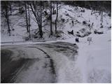
From the starting point, take the Old Ljubljana Road, which is closed to public traffic with a traffic sign. The road first climbs moderately over two serpentines and then continues along a stream to the ruins of the former church of St Lenart, next to which stands a slightly larger sign. Here the road turns left and gradually moves away from the valley. The road then opens up to beautiful views of Selenitza and other surrounding peaks. The road continues past a small crossroads, where we take a sharp right along the "main" road, then cross steep slopes at a moderate incline (danger of falling rocks, or in winter avalanche and slipping). Higher up, the road makes some more serpentines, then leads to a marked crossroads, where a marked footpath branches off to the left towards Loibler Baba / Loibler Baba. Continue along the wider road and within 10 minutes of further walking you will reach the old border crossing, behind which stands the Koča na Ljubelju.

We can extend the trip to the following destinations: Žerjavov Praprotnik / Loibler Prapotnik,
Polna peč ( 30 min),
Dom na Zelenici (2 h 5 min),
Planina Korošica,
Hajnževo sedlo,
Vrh Ljubeljščice (Triangel) (1 h 45 min),
Hajnžev Praprotnik / Zeller Prapotnik,
Lokovnikov Grintovec / Grintoutz (1 h 45 min),
Grlovec / Ferlacher Horn,
Košutica (1 h 45 min),
Veliki vrh (Košuta)
Pictures:
 1
1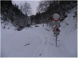 2
2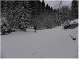 3
3 4
4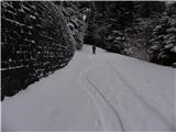 5
5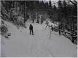 6
6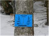 7
7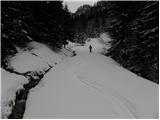 8
8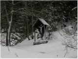 9
9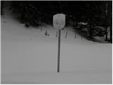 10
10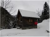 11
11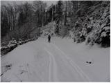 12
12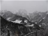 13
13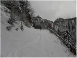 14
14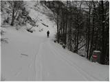 15
15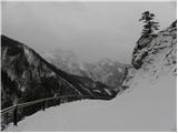 16
16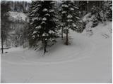 17
17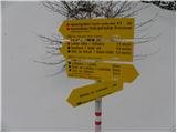 18
18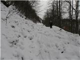 19
19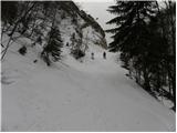 20
20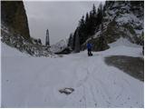 21
21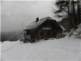 22
22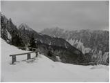 23
23
Discussion about the trail Bučan - Koča na Ljubelju (by road)