Brunk - Polšakova koča na Zagori
Starting point: Brunk (760 m)
| Lat/Lon: | 45,8777°N 14,1519°E |
| |
Time of walking: 1 h
Difficulty: easy unmarked way
Altitude difference: 62 m
Altitude difference po putu: 110 m
Map:
Recommended equipment (summer):
Recommended equipment (winter):
Views: 1.350
 | 1 person likes this post |
Access to the starting point:
a) From Logatec, Planina or Godovič, drive to Kalce and from there continue in the direction of Cola and Podkraje. Further on, follow the slightly more winding road, which quickly leads to a place after a left serpentine, where the road leads past a short trail to the Roman fortress of Laniše. Towards Col and Podkraj, continue to the place where you see a road sign indicating a 15% gradient. Immediately after the road sign, turn left onto a side road which then leads under a power line. After the power line, a road joins the road, which will take you to the starting point if you are coming from direction Cola. After the two roads merge, park in a suitable place on the roadside.
b) First take the Col, then continue towards Podkraj and Logatec. When you reach Logatec, just after the 6 km marker, turn right onto the dirt road. You will soon merge with the road leading from Kalce. After the two roads merge, park at a suitable place on the roadside.
Path description:
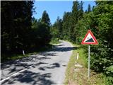
From the point where the two roads join, continue straight into the forest, following the road, which quickly leads to a crossroads where you continue left (slightly right Bukovje). The road then passes the nearby Orlov hill (829 m) on the south side. The road then leads past the Logaška spruce (a natural landmark - the snake spruce), and then leads to a small crossroads, where you continue straight ahead (the right road ends in the nearby forests). The road, which with the exception of a few short descents, climbs gently for the most part, only occasionally moderately, then leads us to another crossroads where we also continue straight (the left road also ends in the woods). There is a short climb, and then the road is laid and leads us to Polšak's hut.
Pictures:
 1
1 2
2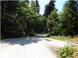 3
3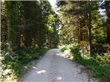 4
4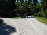 5
5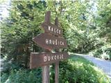 6
6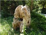 7
7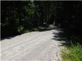 8
8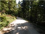 9
9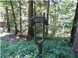 10
10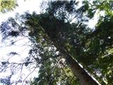 11
11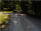 12
12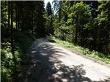 13
13 14
14 15
15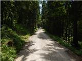 16
16 17
17 18
18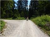 19
19 20
20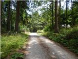 21
21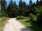 22
22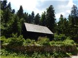 23
23
Discussion about the trail Brunk - Polšakova koča na Zagori