Brezje pri Tržiču - Vaško (eastern path)
Starting point: Brezje pri Tržiču (677 m)
| Lat/Lon: | 46,35922°N 14,27532°E |
| |
Name of path: eastern path
Time of walking: 1 h 5 min
Difficulty: easy unmarked way
Altitude difference: 369 m
Altitude difference po putu: 369 m
Map: Karavanke - osrednji del 1:50.000
Recommended equipment (summer):
Recommended equipment (winter): ice axe, crampons
Views: 466
 | 1 person likes this post |
Access to the starting point:
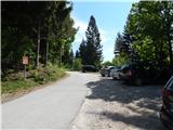
We drive to Bistrica pri Tržiču and then continue our drive to Begunje in Gorenjska. When we arrive in Brezje pri Tržiču, near the church of St. Neže, we are directed to the right on a steeper road in the direction of Dobrča. Just a little further on, park in a marked parking lot, next to which there are mountain direction signs.
Path description:
From the parking lot, turn right towards Bistriška planina (the usual route to Dobrča is on the left) and start climbing up the steep asphalt road. Higher up, the asphalt ends and you pass an avalanche-prone slope to a lookout point, which offers a beautiful view towards Storžič, Kriška Gora and Gorenjska. Here the road turns into a forest, and we continue to climb cross-country. At the part where the road widens and where some logs are occasionally stored, an unmarked path branches off the road to the left and we continue along it. The path then climbs through the forest, and when it turns slightly to the right, it passes an older trough, after which it passes through a small valley, where it passes interesting conglomerate rocks, and then reaches a dirt road, which it follows to the left. The road soon splits into two wider cart track, and we continue on the right-hand one, which starts to climb. After a short climb, cart track turns right and starts to climb transversely. Around the bend, go sharp left from the wider cart track onto the slightly narrower cart track, which is joined a few 10 paces further on the left by logging trail, which branches off from the wider cart track at the right-hand bend.
There is a few minutes of traverse, and when the south-east ridge of Dobrča is reached, go right and follow the beaten track to Vaško, one of the peaks of Dobrča, in a few minutes.
Description and pictures refer to May 2020.

Pictures:
 1
1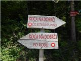 2
2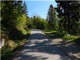 3
3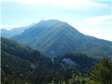 4
4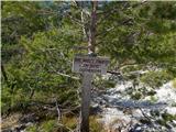 5
5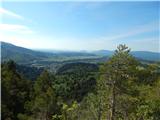 6
6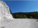 7
7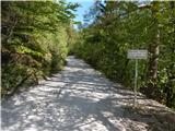 8
8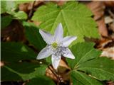 9
9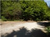 10
10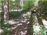 11
11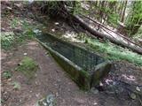 12
12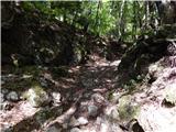 13
13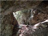 14
14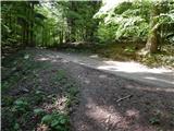 15
15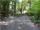 16
16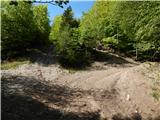 17
17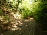 18
18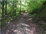 19
19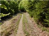 20
20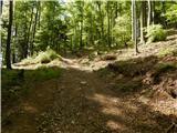 21
21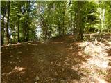 22
22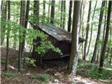 23
23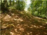 24
24 25
25 26
26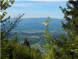 27
27 28
28
Discussion about the trail Brezje pri Tržiču - Vaško (eastern path)