border crossing Rateče - The lake Zgornje Mangartsko jezero
Starting point: border crossing Rateče (851 m)
| Lat/Lon: | 46,497°N 13,704°E |
| |
Time of walking: 1 h 5 min
Difficulty: easy unmarked way
Altitude difference: 78 m
Altitude difference po putu: 135 m
Map: Julijske Alpe - zahodni del 1:50.000
Recommended equipment (summer):
Recommended equipment (winter):
Views: 3.580
 | 1 person likes this post |
Access to the starting point:
First we drive to Kranjska Gora, then we continue to Rateče and Itali. Park in a suitable space at the border crossing.
The starting point can also be reached via Border crossing Predel.
Path description:
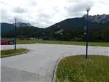
At the border crossing, opposite the Kompas Shop, you will see signs for the cycle path leading to Trbiž / Tarvisio and Lake Mangart / Laghi di Fusine. Take the above-mentioned path, which first heads south and then quickly leads into a strip of woods, where you join the asphalted cycle path leading from Kranjska Gora towards Trbiž. Cross the cycle path and continue straight on the dirt road, which turns right after a few metres. The road initially offers a nice view towards Mala Ponca, Visoka Ponca and other surrounding mountains, but then the road turns into a forest. There are a few small forks where you continue straight ahead, then after a bridge over a torrent, at a slightly larger crossroads, continue slightly right downhill. The road quickly lays down and leads to a nearby house, which you pass on the left and continue along a wide forest cart track, which is mostly easy going downhill. A little further on, join the cycle road, which you follow to the left. Follow the road uphill for a short distance to reach the small hamlet of Scicchizza.
Cross the Jezerski brook at the hamlet and then take the road that leads to the Mangart or Belopeški Lakes by car. Follow the road to the left and it will lead you past a parking lot. Behind the parking lot, a well-maintained tourist trail branches off to the right, and you can continue your ascent along the Jezersko potok. Climb for a few minutes along the picturesque stream and the numerous springs, and then you will arrive at Lower Mangart Lake. Turn right here and within a minute or two of further walking you will reach a nearby refreshment stand, from where you can enjoy a beautiful view of Mangart.
From the refreshment room, return to the dam, cross the small bridge, then continue between the road and the lake, and a little further on, just beside the lake. On the other side of the lake, the path splits and we continue straight on in the route Zgornje Mangartsko jezero (the right-hand path goes round the lower lake).
Continue along cart track, which enters the forest and turns right. At this point, cart track climbs steeply for a short distance, then flattens out and leads to the next crossroads, this time near the climbing area. Continue left here and then gradually start descending. After a short descent, you reach Zgornje Mangartsko jezero and a viewpoint overlooking the surrounding mountains. The description and figures refer to the situation in 2015 (June).

Pictures:
 1
1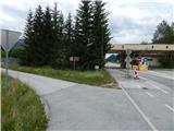 2
2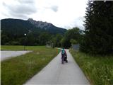 3
3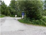 4
4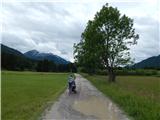 5
5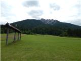 6
6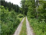 7
7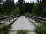 8
8 9
9 10
10 11
11 12
12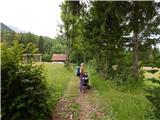 13
13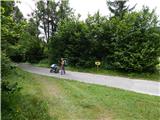 14
14 15
15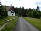 16
16 17
17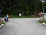 18
18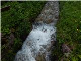 19
19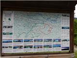 20
20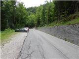 21
21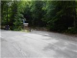 22
22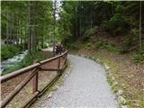 23
23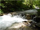 24
24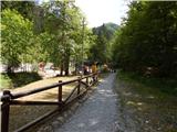 25
25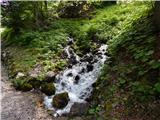 26
26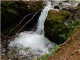 27
27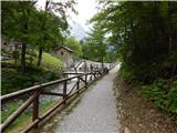 28
28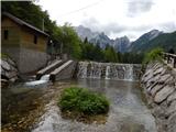 29
29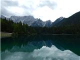 30
30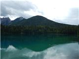 31
31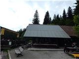 32
32 33
33 34
34 35
35 36
36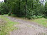 37
37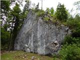 38
38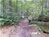 39
39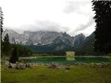 40
40
Discussion about the trail border crossing Rateče - The lake Zgornje Mangartsko jezero