Bogojina - Gravel pit Ivanci
Starting point: Bogojina (185 m)
| Lat/Lon: | 46,678°N 16,2755°E |
| |
Time of walking: 1 h
Difficulty: easy unmarked way
Altitude difference: -8 m
Altitude difference po putu: 5 m
Map: Pomurje 1:40.000
Recommended equipment (summer):
Recommended equipment (winter):
Views: 189
 | 1 person likes this post |
Access to the starting point:
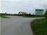
From the Pomurje motorway, take the exit Gančani and follow the road towards Moravske Toplice. After a few kilometres of further driving, the road leads to a slightly larger junction in Bogojina. Here you continue straight on (left Moravske Toplice, right Lendava) and a slightly narrower road quickly leads you to the centre of the village of Bogojina. Continue driving through the village, following the signs for Plečnik's Church. Just before the church, you will come to a small triangular crossroads, where you turn left towards the cemetery (straight ahead Plečnikova cerkev). After a short further drive, you will reach the cemetery, in front of which you will park in a nicely landscaped parking lot.
Path description:
From the parking lot, go back to the roundabout with the chapel, then turn right towards the main road. Walk along the pavement for a while, then turn right at a small crossroads onto a side road to continue your journey. Bogojina then ends and you pass a rest area with a table and two benches to reach the main road, which you cross carefully, then turn right and continue along the main road. When the main road turns left, follow the narrow asphalt path. Walk southwards for some time, and the path leads you between fields, after a while crossing the Lipnica stream. A little further on, we reach the next crossroads, where the Pannonian Trail continues to the right towards Moravske Toplice (all the Pannonian Trail signs are in the opposite direction), and we continue straight on, passing the cemetery. Walk along the asphalt for a short distance and then turn left onto cart track, which continues until you reach the embankment by the Ivanci gravel pit. When you climb the embankment, you will have a nice view of the gravel pit.
Description and pictures refer to the situation in November 2022.

Pictures:
 1
1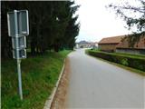 2
2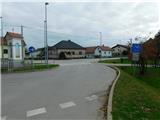 3
3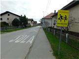 4
4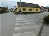 5
5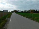 6
6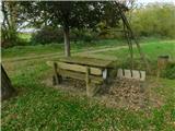 7
7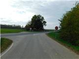 8
8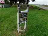 9
9 10
10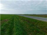 11
11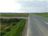 12
12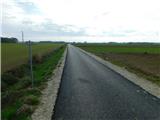 13
13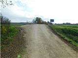 14
14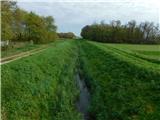 15
15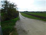 16
16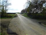 17
17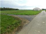 18
18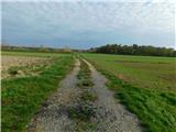 19
19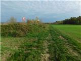 20
20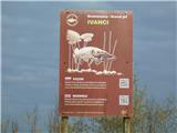 21
21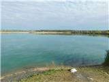 22
22
Discussion about the trail Bogojina - Gravel pit Ivanci