Blaguša - Grohot (path 60)
Starting point: Blaguša (204 m)
Name of path: path 60
Time of walking: 1 h
Difficulty: easy marked way
Altitude difference: 295 m
Altitude difference po putu: 295 m
Map:
Recommended equipment (summer):
Recommended equipment (winter):
Views: 354
 | 1 person likes this post |
Access to the starting point:
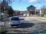
Leave the Varaždin - Zagreb motorway at the Popovec exit. Follow the old road in the direction of Varaždin, but only as far as the next village of Soblinec, where at the traffic lights turn in the direction of Marija Bistrica and Kašina. Pass through Gajec, Vurnovec and Prepuštovec. At the entrance to Kašina, you will see the turn-off for Blaguša on the left, which is our starting point. Park in a suitable place in the settlement.
Path description:
The route officially starts at the bus stop in Blaguša, and we continue along Benkošica Street, where route 61 branches off from our route and the asphalt ends a little further on. We continue for about half an hour along the cart track, which runs partly through the forest and partly through meadows, where there are numerous hunting observation posts along the way. After half an hour, you come to a part of the path where a stream runs along the cart track, which is also the path. Walk along this cart track for a while, and then, at the hunting observation point, continue to the right, following logging trail, which continues through the forest. For a short distance cart track is still a stream bed, then take the first logging trail to the left. Further on the path becomes steeper and less well marked. Higher up, the path transitions and then becomes steeper. The steepness soon eases and the path leads to the Grohot mountain lodge.
From the home, continue along the path, which takes two minutes of further walking to reach the summit, where there is a 14-metre-high lookout tower, which offers a beautiful view of Posavina to the east and the Laz Preval to the west.

Pictures:
 1
1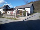 2
2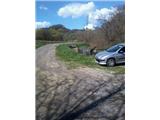 3
3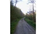 4
4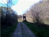 5
5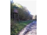 6
6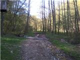 7
7 8
8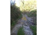 9
9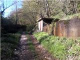 10
10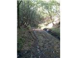 11
11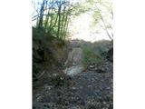 12
12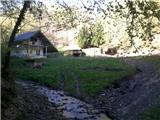 13
13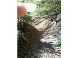 14
14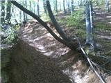 15
15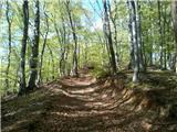 16
16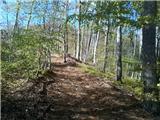 17
17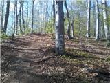 18
18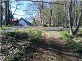 19
19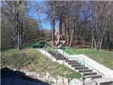 20
20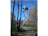 21
21
Discussion about the trail Blaguša - Grohot (path 60)