Blagovica - Limbarska gora
Starting point: Blagovica (412 m)
| Lat/Lon: | 46,175°N 14,8034°E |
| |
Time of walking: 1 h 30 min
Difficulty: easy marked way
Altitude difference: 361 m
Altitude difference po putu: 425 m
Map: Posavsko hribovje - zahodni del 1:50.000
Recommended equipment (summer):
Recommended equipment (winter):
Views: 20.079
 | 3 people like this post |
Access to the starting point:
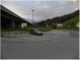
From the motorway Ljubljana - Maribor, take the exit Blagovica and then continue driving towards the above-mentioned place. Just 10 m after the Blagovica sign, you will see signs for Golčaj, which will direct you to the right, to the road that goes under the motorway. Park in the parking lot just off the main road, opposite the fire station.
Path description:
From the parking lot, continue along the ascending road, which passes through an underpass, and then signs for Golčaj direct you left onto a steep footpath that continues to climb south of the motorway, whose traffic can still be heard for some time. Cross the road at a slightly higher level and continue the ascent on the wider cart track, which leads past a water reservoir. cart track then becomes steeper and steeper and leads us higher up to a crossroads where we continue sharp left along the left cart track, which we follow for only a short time, as the signs for Golčaj then direct us to the right on a nicely marked footpath. Higher up, we briefly join the narrower cart track, and then resume our route along a relatively steep mountain path. The path is higher and leads to a marked crossroads in the immediate vicinity of Golčaja. Here continue left (right Limbarska gora) along a moderately steep forest path, which takes 3 minutes of further walking to reach the summit.
From the top, continue slightly to the right and after a short descent you will reach the nearby church of St. Neže. From the church, return to the marked crossroads below the summit of Golčaja (the crossroads can also be reached by a cross-route that bypasses Golčaj), and then continue in the direction of Limbarska Gora. The path continues almost horizontally for some time, then begins to descend more visibly. The well-marked path, which has a few crossroads, soon lays down and leads us past the cross to the asphalted road leading to Limbarska Gora. Continue along the road for a while, and then, at a small hamlet, the markings direct us right down to the macadam road. There is a short descent, then the road turns first to the left and then to the right and then leads us in a moderate ascent to the next hamlet. Here we walk through a few yards and then signs direct us to the grassy cart track, which leads us back to the tarmac road over a scenic slope. There is a short, steep climb and the road leads to the guesthouse and church at the top of Limbarska Gora.

Pictures:
 1
1 2
2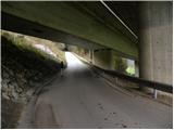 3
3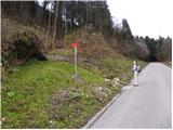 4
4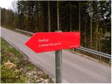 5
5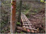 6
6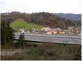 7
7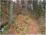 8
8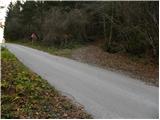 9
9 10
10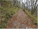 11
11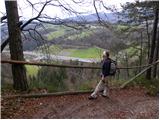 12
12 13
13 14
14 15
15 16
16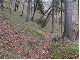 17
17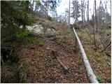 18
18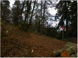 19
19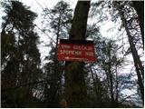 20
20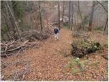 21
21 22
22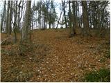 23
23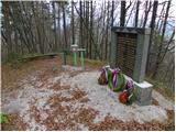 24
24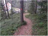 25
25 26
26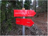 27
27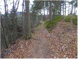 28
28 29
29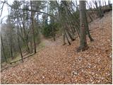 30
30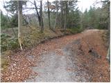 31
31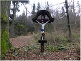 32
32 33
33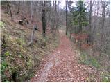 34
34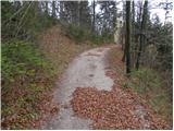 35
35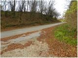 36
36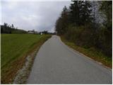 37
37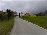 38
38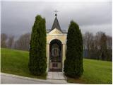 39
39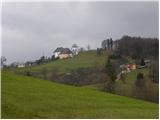 40
40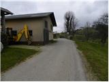 41
41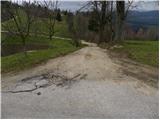 42
42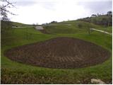 43
43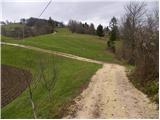 44
44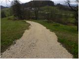 45
45 46
46 47
47 48
48 49
49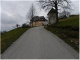 50
50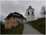 51
51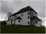 52
52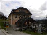 53
53 54
54
Discussion about the trail Blagovica - Limbarska gora
|
| tisa17. 11. 2010 |
Nekajkrat sem bila na Limbarski gori, pa vedno iz Moravč čez Serjuče. Me veseli, da sem spoznala še eno pot, za spremembo.
Hvala avtorju in lep pozdrav.
|
|
|
|
| krsto716. 11. 2011 |
Tudi sam sem bil večkrat na Limbarski gori, vendar danes prvič po tej strani. Pot je zelo lepa, čeprav v prvem delu kar malo naporna, do Golčaja je zelo strma, od Golčaja do Limbarske gore pa je praktično skoraj po ravnem, razen zadnjih nekaj deset metrov vzpona do vrha.
|
|
|
|
| alra 1919. 02. 2021 |
Ali je ta pot še markirana?
|
|
|
|
| zokipoki19. 02. 2021 |
Mislim, da je še. Pod Golčajem desno v smeri Limbarske gore, čez gozd, gmajno in potem stopiš na cesto. Samotna pot.
|
|
|
|
| Fulcrum19. 02. 2021 |
Pot je v celoti markirana. Zadnji del lahko greš namesto po makadamu (slika 42) kar po cesti. Pot je res bolj samotna, saj gre večina ljudi na Limbarsko z drugih izhodišč (ali pa se na vrh kar pripeljejo)  .
|
|
|