Bistrica pri Tržiču - Bistriška planina
Starting point: Bistrica pri Tržiču (615 m)
| Lat/Lon: | 46,362°N 14,285°E |
| |
Time of walking: 1 h 30 min
Difficulty: easy marked way
Altitude difference: 442 m
Altitude difference po putu: 450 m
Map: Karavanke - osrednji del 1:50.000
Recommended equipment (summer):
Recommended equipment (winter): ice axe, crampons
Views: 7.786
 | 1 person likes this post |
Access to the starting point:
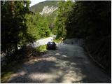
From the Ljubljana - Jesenice motorway, take the Ljubelj exit and follow the road towards Tržič. Just before the petrol station at Tržič, turn right (towards Tržič) and then immediately left (towards Begunje). Shortly after Bistrica pri Tržiču, the macadam road to Villa Bistrica turns sharp right. Turn right here and then park in a suitable place on the roadside.
Path description:
From the crossroads, continue along the macadam road towards Villa Bistrica. The road, which climbs gently, leads us in a few minutes to the asphalt, where we arrive at the crossroads, at which there is a chapel.
Immediately after the chapel, take a sharp left onto cart track, which passes a nearby dwelling house on the left-hand side (the mountain markers for Dobrča and Bistrica mountain pasture are also visible nearby). Cart track quickly turns into a forest and climbs relatively steeply to a kind of ridge, from which we occasionally get some views towards Kriška Gora and Gorenjska. When the ridge ends, we continue along the right cart track, which returns to the forest, and we walk along it to a more grassy part (the area called Na planincah).
Further on, cart track climbs quite steeply from time to time, and then leads to several successive crossroads where it comes to rest. At the crossroads, follow the signs carefully, which in time will redirect you to a forest path with cart track. The rather gently sloping path then leads us in a few minutes to Bistriška mountain pasture.

Pictures:
 1
1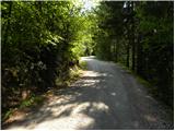 2
2 3
3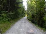 4
4 5
5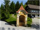 6
6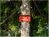 7
7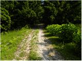 8
8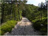 9
9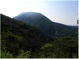 10
10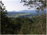 11
11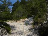 12
12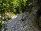 13
13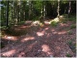 14
14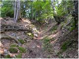 15
15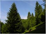 16
16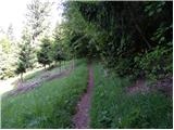 17
17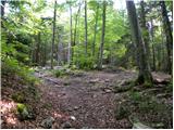 18
18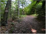 19
19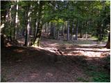 20
20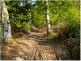 21
21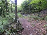 22
22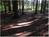 23
23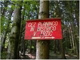 24
24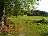 25
25
Discussion about the trail Bistrica pri Tržiču - Bistriška planina
|
| NerodniPohodnik24. 08. 2021 14:38:33 |
Super sprehod za nedeljsko popoldne ali družinsko raziskovanje. Namig za raziskovalce:če na 18. sliki namesto, da greste naravnost proti severu, zavijete desno, in sledite kolovozu, ki gre po sredini proti vzhodu, pridete na južno-vzhodni greben, ki je pa zelo razgleden. Žal na bistriski razgleda ni, zato se splaca  samo merkat je treba in se orientirati, da ne zavijete dol ali gor, in pridete do grebena. Pot se sicer sprva majčkeno vzpne, in potem je krajši strmejsi kolovoz. Za nadaljevanje poti, pa nazaj po istem kolovozu do markacije
|
|
|