Starting point: Bistra (808 m)
| Lat/Lon: | 46,4444°N 14,8072°E |
| |
Time of walking: 4 h 40 min
Difficulty: easy pathless terrain
Altitude difference: 1221 m
Altitude difference po putu: 1470 m
Map: Kamniške in Savinjske Alpe 1:50.000
Recommended equipment (summer):
Recommended equipment (winter): ice axe, crampons
Views: 406
 | 1 person likes this post |
Access to the starting point:
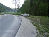
First, drive to Črna na Koroškem (you can get here from Mežica or from Šoštanj and Velenje via the Spodnje Sleme pass), then continue to Logarska dolina, Solčava, Pristava and Podpeci. At Pristava, turn left and continue driving towards the scattered settlement of Bistra. After a good 3 km drive from Pristava, you will see a chapel by the roadside, after which you will come to a small crossroads, at which you will see mountain direction signs for Raduha. Park in a suitable place at the crossroads.
Path description:
From the starting point, take the ascending and initially still asphalted road in the direction of Koča na Loki and Raduha. The asphalt soon ends and we continue on the macadam road, which we follow to a small crossroads where a narrower road branches off to the right, over a pasture fence. Continue along the right-hand road, which immediately after a small wooden hut turns into a cart track road, which leads to the edge of the forest.
Here, signs direct you into the woods on a footpath which climbs moderately along cart track. Higher up, the path leads us out of the forest to a larger clearing, where we pass another hut on the left-hand side. The way ahead returns to the forest, crosses a forest road and then climbs along a stream. After a few minutes' walk along the stream, the path turns to the right and gradually moves away from the stream bed. Higher up, the path turns slightly more to the right, crosses a few short viewpoints and then turns left, where after a few minutes of further walking it leads to a forest road.
Continue in the direction of Raduha and follow the gently sloping and deteriorating forest road. The road continues for some time and then leads to Knezova planina (also mountain pasture Bela peč), at the edge of which you come to a marked crossroads.
From the crossroads continue right (left Koča na Travniku, Travnik, Komen and Smrekovec) in the direction of Koča na Loki and continue past a small sign into the forest. The way ahead climbs moderately through the lane of the compacted forest and quickly leads to the Bela peč Pass, where you enter the Styrian side via a pasture fence. Continue on the marked path, which gradually begins to descend and after a short descent leads to mountain pasture Vodol, where you step onto a macadam road. Follow the road to the right, and we walk along it for only a few metres, as the signs for Koča na Loki direct us left onto a footpath which ascends crosswise along the upper edge of mountain pasture. The path continues into the forest, where it climbs for some time. Higher up, out of the forest, the path quickly leads to the shepherd's huts at mountain pasture Javorje.
On the other side of mountain pasture, we enter a less good forest road, which we start to descend more visibly. After a short descent, you will notice markings pointing right into the forest, through which, in a few minutes of further descent, you will reach the hut at Loka pod Raduho.
From the hut, continue slightly left (direction Raduha) along the path that runs along the left side of an undistinguished ravine. The path, which climbs gently at first, soon turns to the left, where it climbs steeply for a short time through a belt of compacted forest. The steepness then subsides and the forest is gradually replaced by dwarf pines and raspberry bushes. A moderately steep path climbing up the south-eastern slopes of Raduha leads us higher up to a marked crossroads, where we continue to the left (Durce on the right).
After a few steps from the crossroads, on the right side of the marked path, you will notice a beautiful transition between dwarf pines. Take the above-mentioned crossing (an undeveloped, undistinguished valley) and follow it straight up. Higher up, the passage is stopped by dwarf pines, and we find a partly overgrown path which continues to the right (eastwards). This path facilitates our passage through a belt of dense dwarf pines, which leads us under the very top of Mala Raduha. Again, find a nice passage between the dwarf pines and after a few steps of further walking you reach the top of Mala Raduha.
In the fog, orientation in the upper part is difficult.
Bistra - Knezova planina, Knezova planina - Planina Vodole 0:15, Planina Vodole - Planina Javorje 0:45, Planina Javorje - Koča na Loki 0:15, Koča na Loki - Mala Raduha 1:25.

Pictures:
 1
1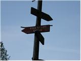 2
2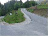 3
3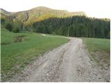 4
4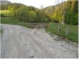 5
5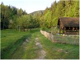 6
6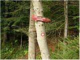 7
7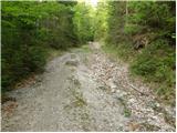 8
8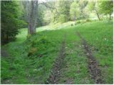 9
9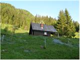 10
10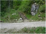 11
11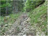 12
12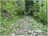 13
13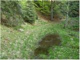 14
14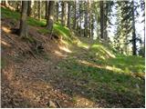 15
15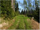 16
16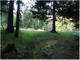 17
17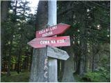 18
18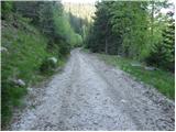 19
19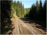 20
20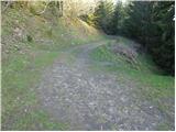 21
21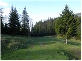 22
22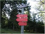 23
23 24
24 25
25 26
26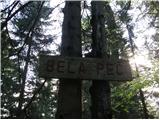 27
27 28
28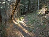 29
29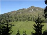 30
30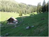 31
31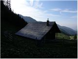 32
32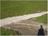 33
33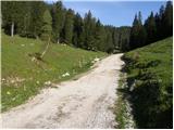 34
34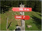 35
35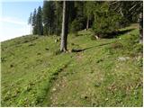 36
36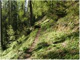 37
37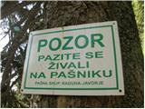 38
38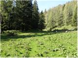 39
39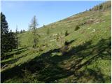 40
40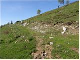 41
41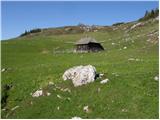 42
42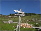 43
43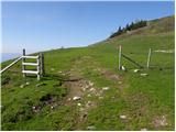 44
44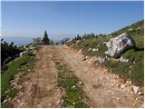 45
45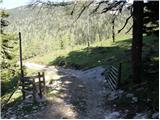 46
46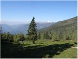 47
47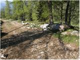 48
48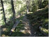 49
49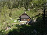 50
50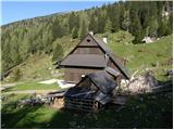 51
51 52
52 53
53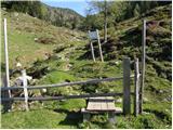 54
54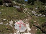 55
55 56
56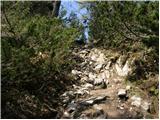 57
57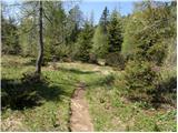 58
58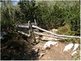 59
59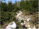 60
60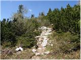 61
61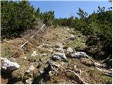 62
62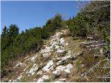 63
63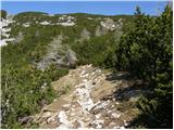 64
64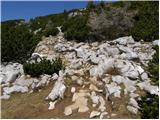 65
65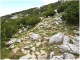 66
66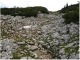 67
67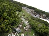 68
68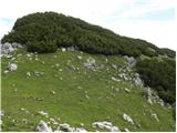 69
69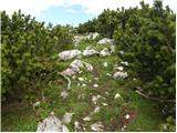 70
70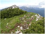 71
71
Discussion about the trail Bistra - Mala Raduha