Bidrovec - Planinarski dom Gorščica (ridge path)
Starting point: Bidrovec (262 m)
Name of path: ridge path
Time of walking: 2 h
Difficulty: difficult unmarked way
Altitude difference: 434 m
Altitude difference po putu: 612 m
Map:
Recommended equipment (summer):
Recommended equipment (winter): crampons
Views: 477
 | 1 person likes this post |
Access to the starting point:
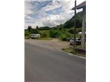
Leave the Zagreb-Varaždin motorway at the Sesvete exit, Dugo Selo. We drive to Sesvete and then on to Zagreb. Leave the Dubrava road through the eponymous part of Zagreb at a large junction and turn right towards Miroševec (there is a McDonalds and a large INA petrol station at this junction). Continue north towards Miroševec Cemetery (there are two roundabouts on the way, follow the signs for the cemetery). After the cemetery, pass through the park of the Castle of Youth and you will arrive in the town of Miroševec. Just follow the main road and at the end of the settlement (the beginning of Trnava is not marked) you will come to the next roundabout, from which you go straight ahead. We arrive in the village of Popovec (this village is also not marked with a sign) and park at a small crossroads just before the town where the road starts to climb steeply.
The starting point is quite difficult to find. I recommend using navigation.
Path description:
From the parking lot in Popovec go on, orientation is easy because you can see the Cat's Pechina below the Pečovje peak. At the inn, go left up Površnica Street. Soon we arrive at a crossroads, where route 24 branches off to the left, and we go right and then right again (the crossroads are well marked). The asphalt will soon be over, and the path that passes by for a few weekends is being laid.
After the last weekend, which is also the most interesting, we pass into the forest. After entering the forest, a path branches off sharply to the left, almost imperceptibly, and goes over the Pečovje and Oštrec peaks (on the right side there is a meadow with blue fence posts).
Here it looks as if the path passes over the rocky logging trail, but it climbs steeply to the left of logging trail. The path ahead is beaten, but to the right of the path is logging trail. Higher up, the path switches to the western slopes and lays down for a while.
After the downhill part, the path becomes steeper and the ground rockier. Here, at one point where the path seems to go straight ahead, continue left and you reach a ridge.
The path becomes technically challenging and exposed for a short time, and the forest becomes more compact. There are excellent views of the upper part of Medvednica and Sljeme.
There are some very steep trails where we will climb a bit and where the difficulty is the hardest. A wedge or a rope would be welcome on this part of the route.
After climbing the difficult part we are rewarded with beautiful views. The path then lays down and after a few minutes of further walking leads us to Pečovje Peak (655 m). The peak is in the forest and there is no view from it.
From the summit, descend to the nearby saddle, which will be reached by an initially overgrown path, which reaches cart track at a lower altitude. After a few minutes, leave Cart track and start climbing again. There is a steep climb up the ridge, which is not particularly difficult technically. The ridge is also interesting because there are some trees that are not seen in other parts of Medvednica.
The way forward leads us to the top of Oštrec, which is also in the forest and does not offer us a view.
From the top there is a steep descent, where we pass through lane pine forest, and lower down we walk along the often quite muddy cart track. After cart track you quickly reach the crossroads of Križni hrast, from where you continue straight north and walk for a short distance along the road, which you leave when you see the signs for home. Continue along the wider path, which leads us after a few minutes to the Gorščica mountain lodge.
I advise against the path in the rain because the exposed parts are very slippery. The path is initially difficult in terms of orientation.

Pictures:
 1
1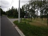 2
2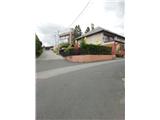 3
3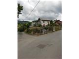 4
4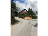 5
5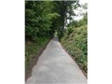 6
6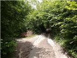 7
7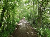 8
8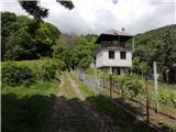 9
9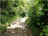 10
10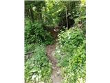 11
11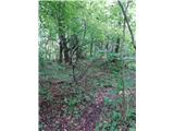 12
12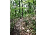 13
13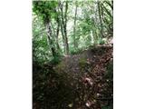 14
14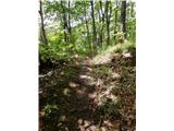 15
15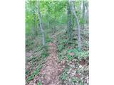 16
16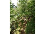 17
17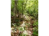 18
18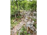 19
19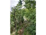 20
20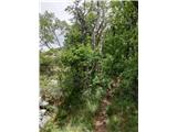 21
21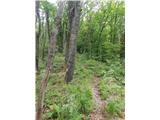 22
22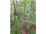 23
23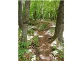 24
24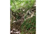 25
25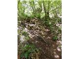 26
26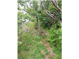 27
27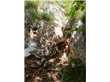 28
28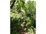 29
29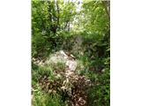 30
30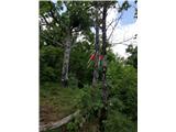 31
31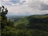 32
32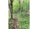 33
33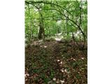 34
34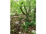 35
35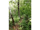 36
36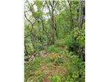 37
37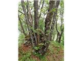 38
38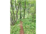 39
39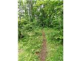 40
40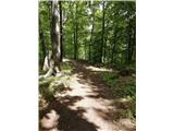 41
41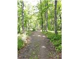 42
42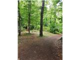 43
43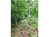 44
44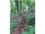 45
45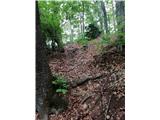 46
46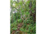 47
47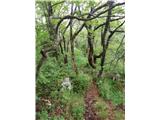 48
48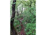 49
49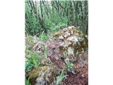 50
50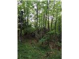 51
51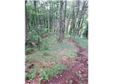 52
52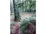 53
53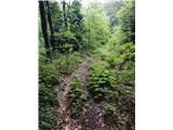 54
54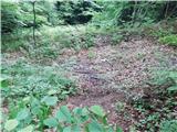 55
55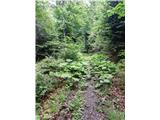 56
56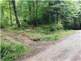 57
57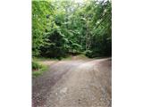 58
58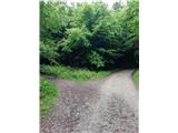 59
59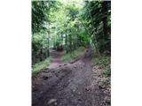 60
60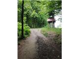 61
61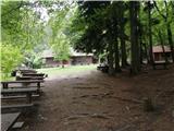 62
62
Discussion about the trail Bidrovec - Planinarski dom Gorščica (ridge path)