Starting point: Bezgovca (832 m)
| Lat/Lon: | 46,4073°N 14,3865°E |
| |
Time of walking: 1 h 30 min
Difficulty: easy pathless terrain
Altitude difference: 436 m
Altitude difference po putu: 436 m
Map: Karavanke - osrednji del 1:50.000
Recommended equipment (summer):
Recommended equipment (winter): ice axe, crampons
Views: 3.097
 | 1 person likes this post |
Access to the starting point:
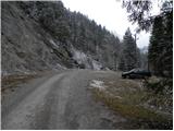
From the Ljubljana - Jesenice motorway, take the Podnart (Ljubelj) exit, then continue on the expressway towards Ljubelj and Tržič. When the expressway ends, you will see a petrol station on the right hand side, before which turn right down towards Tržič. Continue through Tržič, and we follow the narrower road towards Dovžana Gorge and then through the villages of Dolina and Jelendol towards the hamlet of Medvodje. Before we reach Medvodje we will notice a road branching off the "main" road to the right over a small bridge (the sign on the bridge says "Javornik"). As there is no suitable place to park here, drive another 100 metres further and then park on the right side of the road opposite the old landslide.
Path description:
From the starting point, return to the above-mentioned crossroads, and from there continue on the side road that crosses Tržiška Bistrica. On the other side of the bridge, the road starts to climb and initially continues along a small stream. The road quickly follows the stream a little further to the right, and then leads to an unmarked crossroads where you continue straight ahead. The road then turns left, crossing first a torrential stream and then, higher up, the Sopotnica stream, which rises below the mountain pasture Vetrh. Higher up, the road turns right and gradually leads to the next crossroads, where it continues straight ahead. After a few minutes' walk, the road leads to mountain pasture Vetrh, at the edge of which stands a hunting observation post.
Leave the road at the hunting observation post and turn right onto the grassy slope over which you begin to climb. From the road onwards the ascent is along a trackless track, and we climb up the grassy slope to its upper edge, where we also reach a partly vegetated ridge. Here the "path" becomes steeper and continues along a narrower ridge, which descends steeply to the right. Follow the ridge "path" for a few minutes and then reach Vetrh vrh, identified by a concrete milestone.

Pictures:
 1
1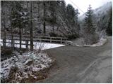 2
2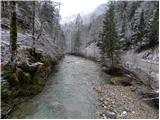 3
3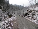 4
4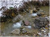 5
5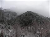 6
6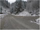 7
7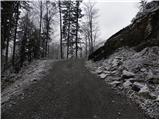 8
8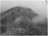 9
9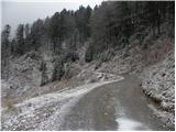 10
10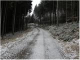 11
11 12
12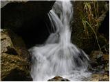 13
13 14
14 15
15 16
16 17
17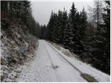 18
18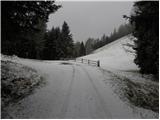 19
19 20
20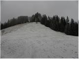 21
21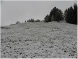 22
22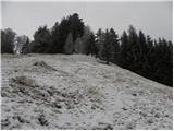 23
23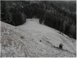 24
24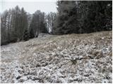 25
25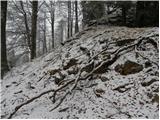 26
26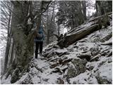 27
27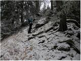 28
28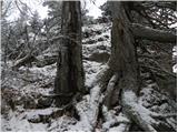 29
29 30
30 31
31 32
32
Discussion about the trail Bezgovca - Vetrh vrh