Beltinci - Gravel pit Dokležovje
Starting point: Beltinci (177 m)
| Lat/Lon: | 46,60777°N 16,23387°E |
| |
Time of walking: 1 h 15 min
Difficulty: easy marked way
Altitude difference: 5 m
Altitude difference po putu: 12 m
Map: Pomurje 1:40.000
Recommended equipment (summer):
Recommended equipment (winter):
Views: 245
 | 1 person likes this post |
Access to the starting point:
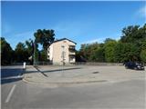
Leave the Pomurje motorway at exit Lipovci, then follow the signs for Beltinci. When you arrive at Beltinci, turn right after the Mercator store, then park in the parking lot between the store and Beltinški grad.
Path description:
From the parking lot, walk to the nearby castle, where you will see the first signs. Continue to the right along the macadam road that leads along the north side of the castle, and turn left at the nearby pond. The path ahead leads through the park, and on the right you will see the stadium of the football ground of the Beltinci Football Association. When you reach the second dirt road, turn right, and at the next crossroads, where you cross the tarmac, turn left onto the dirt road, along which the markings continue. The trail continues south-westwards and after a while turns right and leads to a less well marked junction. Turn left at the junction and continue south-west again. At the transformer, you reach an asphalt road, where signs direct you to the right (left Ižakovci). A few minutes further on, cross the railway line and then arrive at the Dokležovje settlement, where you turn left at the roundabout. Cross the bridge to Kapusnjek, and then Dokležovje ends. The path ahead takes you along the edge of the main road towards Veržej, and soon you will see the Taškal pond on your right, which is reached by a dirt track.
From the pond, return to the main road and continue walking south. After about 5 minutes of further walking, the first path to the Dokležovje gravel pit branches off to the left, and a few minutes further on there is another one. The gravel pit is located just 10 steps from the main road.
Beltinci - Ribnik Taškal 1:10, Ribnik Taškal - Dokležovje gravel pit 0:05.
Description and pictures refer to the situation in July 2021.

Pictures:
 1
1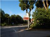 2
2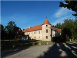 3
3 4
4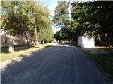 5
5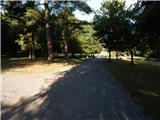 6
6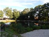 7
7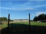 8
8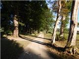 9
9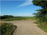 10
10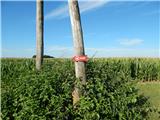 11
11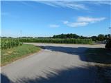 12
12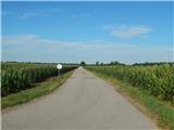 13
13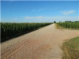 14
14 15
15 16
16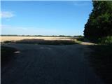 17
17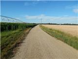 18
18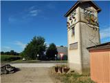 19
19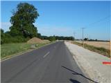 20
20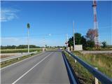 21
21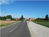 22
22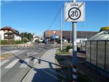 23
23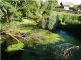 24
24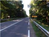 25
25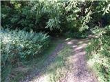 26
26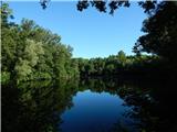 27
27 28
28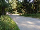 29
29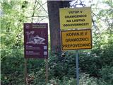 30
30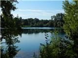 31
31
Discussion about the trail Beltinci - Gravel pit Dokležovje