Starting point: Begunje (611 m)
| Lat/Lon: | 45,8218°N 14,3837°E |
| |
Time of walking: 1 h
Difficulty: easy marked way
Altitude difference: 344 m
Altitude difference po putu: 350 m
Map: Snežnik 1:50.000
Recommended equipment (summer):
Recommended equipment (winter): crampons
Views: 9.540
 | 1 person likes this post |
Access to the starting point:
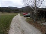
From the motorway Ljubljana - Koper take the exit Unec and follow the road towards Cerknica. Just before Cerknica, turn left in the direction of Begunj, and then follow the slightly more winding road to the village mentioned above. In Begunj, continue along the main road, then at the crossroads by the Mercator shop, continue straight on the macadam road, along which you will see signs for Špičasto Stražišče (Bezuljak on the left, Selšček on the right). Follow the dirt road to a small parking area next to the village bowling alley.
Path description:
From the starting point, we continue on a less good macadam road, which after a few 10 steps of easy walking leads us to a crossroads of three kolovozov. Continue along the leftmost (or middle) cart track, which leads us in a slight ascent to the next marked crossroads.
Continue along the left-hand path (right Špička over Cumarovnik) and continue the ascent along the folded cart track, which changes higher up into a gradually steeper and steeper footpath. After a while, the path leads us below the top of Begunjska Zalaka, where we also emerge from the forest onto pleasant grassy slopes. Here the path lays down and then continues for a few minutes without any major changes in altitude. A little further on, you will come to a track from which, after a few minutes' walk, a marked footpath branches off to the right. We take the aforementioned footpath, which soon leads us to a crossroads where the path from the village Selšček and the other path from Begunj (possibility of descent) join from the right. Continue straight along the relatively gently sloping mountain path, which will take you to the top of Velika Špička in less than 5 minutes of further walking.

Pictures:
 1
1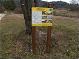 2
2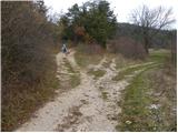 3
3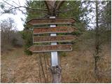 4
4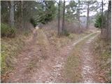 5
5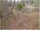 6
6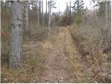 7
7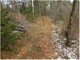 8
8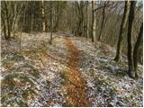 9
9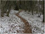 10
10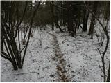 11
11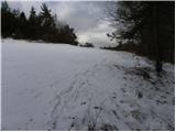 12
12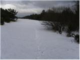 13
13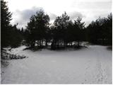 14
14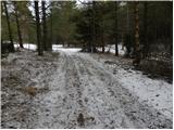 15
15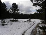 16
16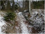 17
17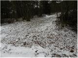 18
18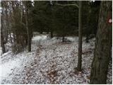 19
19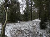 20
20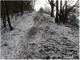 21
21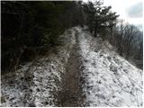 22
22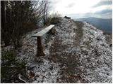 23
23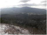 24
24
Discussion about the trail Begunje - Velika Špička