Bašelj - Dom na Kališču (on unmarked path)
Starting point: Bašelj (590 m)
| Lat/Lon: | 46,321°N 14,4002°E |
| |
Name of path: on unmarked path
Time of walking: 2 h 40 min
Difficulty: easy unmarked way
Altitude difference: 944 m
Altitude difference po putu: 950 m
Map: Karavanke - osrednji del 1:50.000
Recommended equipment (summer):
Recommended equipment (winter): ice axe, crampons
Views: 776
 | 2 people like this post |
Access to the starting point:
a) From the motorway Ljubljana - Jesenice, take the exit Kranj - East, then continue driving towards Jezersko. When you reach Preddvor, leave the main road and turn left towards the centre of the town, and from there follow the signs for Bašelj. When you reach Bašelj, at the point where the main road makes a long left turn, leave the main road and continue straight ahead in the direction of the Gamsova cesta (Gamsova cesta). Continue along the narrow asphalt road that leads between the houses and the Belica stream. Park in the parking lot next to the Bašelj Tourist Board.
b) From the motorway Jesenice - Ljubljana, take the exit Kranj - West and turn left at the first junction. Continue through the underpass under the motorway and then to the roundabout, from where you continue in the direction of Golnik. The road continues through Mlaka pri Kranju, and at the end of the village we turn right in the direction of Srakovlje. We then drive through Srakovlje, Spodnja Bela, Srednja Bela, Zgornja Bela (in Zgornja Bela we join the road from Preddvor) to Bašlja, where the main road makes a long left turn, we leave it and continue straight on in the direction of Gamsova cesta. Continue along the narrow asphalt road which leads between houses and the Belica stream. Park in the parking lot next to the Bašelj Tourist Board.
Path description:
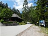
From the starting point, continue along the macadam road, which is closed to public traffic by a road sign. The road climbs gently to a moderate gradient, which takes you past the football and basketball pitches and past the waterworks to a marked crossroads.
From the crossroads continue slightly left in the direction of the partisan hospital Košuta and Kališe (to the right a slightly shorter path to Kališe), where the path leads along the steeper cart track, and from it after a steep ascent go left on the marked footpath. The path then climbs through the woods, and in the part where it passes through a clearing it is slightly overgrown. There is some more ascent and you reach a macadam road, which leads up to a small pass where the Gamsova trail continues to the left, and a few steps further on, a minute-long trail branches off to the right, leading to the top of Gradišče.
Continue along the road, which descends slightly, then turns right and leads to a turning point where it ends.
Here, the worse road, along which the marked path leads, continues to the left, and we continue straight ahead, where we see an unmarked path, along which we continue our journey. There is a climb up a steep slope, then the slope flattens out a little, but the path remains steep. Higher up, the track mostly follows an indistinct ridge, and then crosses a few dirt tracks. There are a few minutes of scenic ascent, and then we return to the forest, where we are helped by a steel cable, and the passage would not have been particularly difficult even without the steel cable.
A few steps above the steel cable we return to the marked path, and the path continues to climb quite steeply, and at two places we are helped by fixed safety gear (not difficult in the dry). Higher up, the path turns slightly to the right and after a few minutes of further walking we reach Spodnje Kališe, where there are a few huts and from where we get a nice view of Storžič.
Continue along the beaten track, which returns to the forest, where it joins the path from Mač. After a few minutes of climbing through the forest, we join the path from the Shelter in Hudičev Boršt.
Continue in the direction Kališe and quickly climb past the lookout point to Dom na Kišče.
Starting point - Lower Kališe 2:25, Lower Kališe - Dom na Kališču 0:15.
Description and figures refer to 2019 (June).

Pictures:
 1
1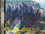 2
2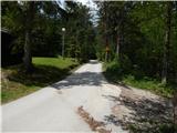 3
3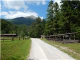 4
4 5
5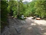 6
6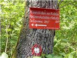 7
7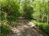 8
8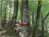 9
9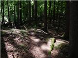 10
10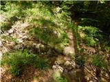 11
11 12
12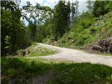 13
13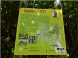 14
14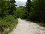 15
15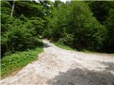 16
16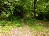 17
17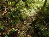 18
18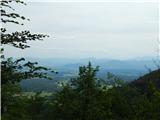 19
19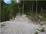 20
20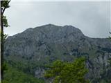 21
21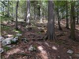 22
22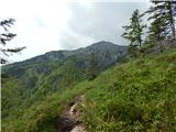 23
23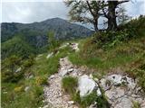 24
24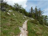 25
25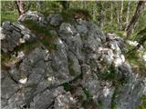 26
26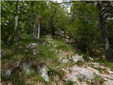 27
27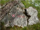 28
28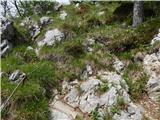 29
29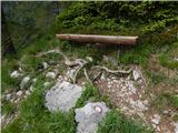 30
30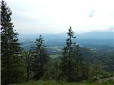 31
31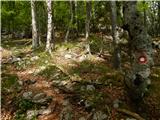 32
32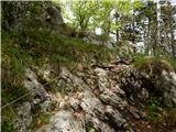 33
33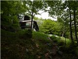 34
34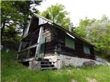 35
35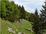 36
36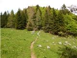 37
37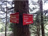 38
38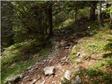 39
39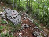 40
40 41
41 42
42 43
43 44
44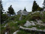 45
45 46
46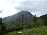 47
47
Discussion about the trail Bašelj - Dom na Kališču (on unmarked path)