Starting point: Bač (600 m)
| Lat/Lon: | 45,6352°N 14,2715°E |
| |
Time of walking: 2 h 15 min
Difficulty: easy unmarked way
Altitude difference: 491 m
Altitude difference po putu: 550 m
Map: Snežnik 1:50.000
Recommended equipment (summer):
Recommended equipment (winter): ice axe, crampons
Views: 2.010
 | 2 people like this post |
Access to the starting point:
a) Drive to Pivka, and from there continue to Knežak. In Knežak, at the marked crossroads, turn left in the direction of Masun and the settlements Bač and Koritnice. Continue straight ahead for a short distance (Koritnice and Mašun on the right), and then Knežak soon ends and you arrive in Bač, through which you follow the main road. Near the church, the main road turns right and we follow it for about 400 m, then at the crossroads by the small sign (cross), we continue on the leftmost road. Continue along the narrower tarmac road, which takes you past more houses, and then, when the tarmac ends, park in a suitable place on the side of the road.
b) First drive to Ilirska Bistrica, then continue to Knežak. At Knežak, at the marked crossroads, turn left in the direction of Masun and the settlements Bač and Koritnice. Continue straight ahead for a short distance (Koritnice and Mašun on the right), then Knežak soon ends and you arrive at Bač, through which you follow the main road. Near the church, the main road turns right and we follow it for about 400 m, then at the crossroads by the small sign (cross), we continue on the leftmost road. Continue along the narrower tarmac road, which takes you past more houses, and then, when the tarmac ends, park in a suitable place on the side of the road.
Path description:
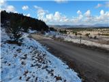
From the starting point, we continue along the road along which we parked, which initially leads us along the foot of Tuščak Hill (786 m), and then after crossing the valley Bredni dol, the road passes to the slopes of Plesišča Hill (906 m), from where we have a beautiful view of the surrounding hills and Vremščica and Nanos in the background. Higher up the road passes into the forest and turns left, and just a little further on, with a little care, we see a beautiful lookout point to the left of the road, from which we have a view of the village of Bač, Tuščak, Vrh, Šilen Tabor. . . A little further on, the forest thins out and the road leads us to a crossroads, where we continue on a slightly left road, which starts to descend after the crossroads (on the right road we can reach Mašun).
From the crossroads there is a few minutes of descent, then the road first lays down and then gradually starts to climb moderately through the forest. Climb through the forest on the macadam road for some time, and then, when you reach the marked trail Jurišče - Kršičevec, continue to the right in the direction of Kršičevec.
From the point where you leave the road, continue up the moderately steep cart track, which quickly leads you to a natural landmark, a lime tree with several trunks. Higher up, the path quickly becomes more steep and the forest begins to thin out. With beautiful views of the surrounding hills, we reach a bench where the marked path turns left and after a few 10 steps splits into two parts.
Continue straight on in the direction of Kršičevec (right Mrzla jama and Kršičevec past Mrzla jama), then the path takes you into the lane of a forest, where you reach 1000 metres above sea level. The forest ends quickly, and then, with views reaching as far as the Alps, you reach a lookout point with a fine view in all directions.
From the viewing platform, continue slightly to the right, descend slightly and then climb to the top of Kršičevec, where there is a registration box with a stamp and a registration book.
The description and pictures refer to the situation in 2016 (February).

Pictures:
 1
1 2
2 3
3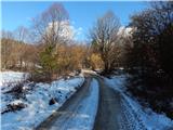 4
4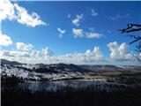 5
5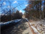 6
6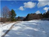 7
7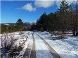 8
8 9
9 10
10 11
11 12
12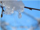 13
13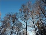 14
14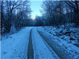 15
15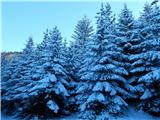 16
16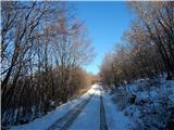 17
17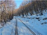 18
18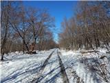 19
19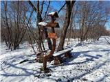 20
20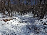 21
21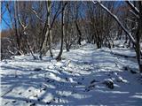 22
22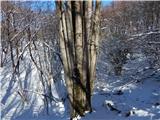 23
23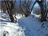 24
24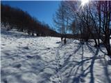 25
25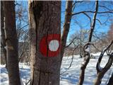 26
26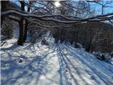 27
27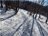 28
28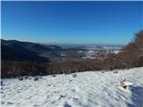 29
29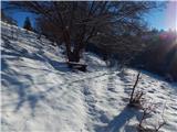 30
30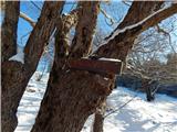 31
31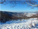 32
32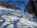 33
33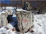 34
34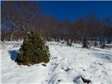 35
35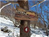 36
36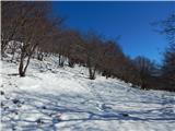 37
37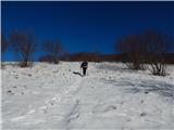 38
38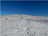 39
39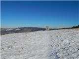 40
40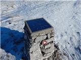 41
41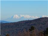 42
42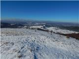 43
43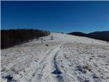 44
44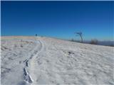 45
45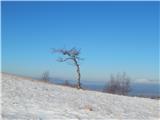 46
46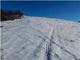 47
47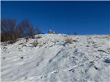 48
48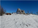 49
49 50
50
Discussion about the trail Bač - Kršičevec