Pod Debelo glavo - Planina Suha (via hunting cottage)
Starting point: Pod Debelo glavo (1220 m)
| Lat/Lon: | 46,2489°N 13,892°E |
| |
Name of path: via hunting cottage
Time of walking: 3 h 10 min
Difficulty: easy unmarked way
Altitude difference: 165 m
Altitude difference po putu: 490 m
Map: TNP 1:50.000
Recommended equipment (summer):
Recommended equipment (winter): ice axe, crampons
Views: 2.394
 | 1 person likes this post |
Access to the starting point:
From the Ljubljana - Jesenice motorway, take the Lesce exit and follow the road towards Bled and on to Bohinjska Bistrica and Lake Bohinj. After Laški Rovt you will reach a small crossroads where the road to the left branches off and leads to the starting points of the route to Rodica, mountain pasture Suho, Šijo, Vogel. . . and the Laški Rovt camping area. The dirt road immediately turns into a forest and first climbs past the above-mentioned camping area and then climbs relatively steeply for a few kilometres. After a little less than 6. 5 km of macadam, you will come to a slightly larger crossroads where the road branches off to the right towards mountain pasture Storeča raven (the starting point of the route to Vogel). Continue straight on here and after about 50 m of further driving you will come to a left turn where the starting point of the route towards mountain pasture Suha, Rodica and Šija is located. From here, continue along the road leading to the Kobla ski resort for about 1 km, then at the junction continue along the upper right road for about 2 km, or until it ends, where you park.
From the main road to the starting point is approximately 9. 5 km of macadam.
Path description:
About 20 m before the end of the road (in the route of ascent), a path, at first less visible, branches off to the right. After a few steps downhill, the path becomes more visible and heads right, where it crosses the slopes to the east without any major changes in elevation. After about 15 minutes of walking, the path gradually starts to climb and joins the path from Vodela (possible starting point) at a slightly higher level. The moderately steep path then quickly leads out of the forest, where you can see a hunting lodge along the path.
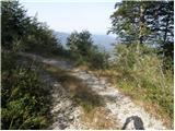
The way forward climbs gently along the valley floor for a while, then turns slightly to the right and starts to climb steeply in a cross-climb. Higher up, the steepness eases and the path, which is less visible in places, leads us through a series of small valleys to mountain pasture Poljana.
From the shepherd's huts, continue along the right-hand side of mountain pasture, and we walk along the edge of mountain pasture to where a well-traced track branches off to the right and begins to climb through the dwarf pines zone. After a short climb, the path turns sharply to the right, and then after a good 10 minutes of further walking leads us to a less visible crossroads, where a path (later a trackless path) branches off to the left towards Raskovec. Continue along the wider right path, which is slightly further on, and then leads us in a moderate ascent to the prevala south of Gradovec (1692 m).
Before the preval, a fainter path branches off to the right, leading towards Gradovec (the path does not lead all the way to the top), and after the preval, a path branches off to the left, continuing slightly further south than the path we will follow). In both cases, we continue on a slightly wider path, which, after the preval, starts to descend on an old mulatier. Lower down, we reach the edge of a larger contour, where snow may still linger in early summer. On the other side of the contour, the trail begins to climb again and continues west to north-west. There are a few short ascents and descents, and then, on the right-hand side, on a small rise, the hunting lodge on Glin is visible.
Continue straight ahead, and then another unmarked path joins from the left. Here, too, continue straight ahead, and then, with fine views, reach a point where the path turns left and descends over a steep grade. The path over the short steep section is relatively wide and therefore not particularly difficult. Once the path has settled it turns first into grassy terrain and then into a small torrential valley ending at mountain pasture Suha. At the bottom of the torrent, join the waymarked trail and follow it to the right to the nearby shepherd's huts.

Pictures:
 1
1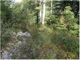 2
2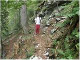 3
3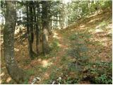 4
4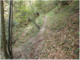 5
5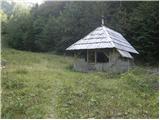 6
6 7
7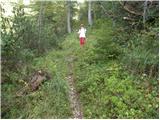 8
8 9
9 10
10 11
11 12
12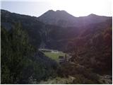 13
13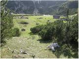 14
14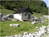 15
15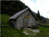 16
16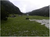 17
17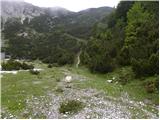 18
18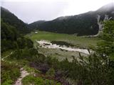 19
19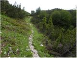 20
20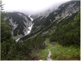 21
21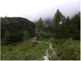 22
22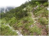 23
23 24
24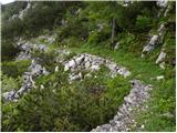 25
25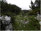 26
26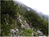 27
27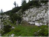 28
28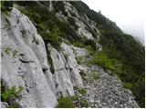 29
29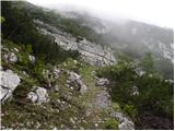 30
30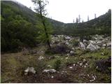 31
31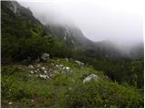 32
32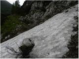 33
33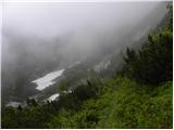 34
34 35
35 36
36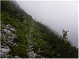 37
37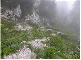 38
38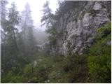 39
39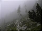 40
40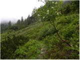 41
41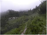 42
42 43
43 44
44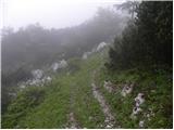 45
45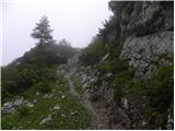 46
46 47
47 48
48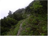 49
49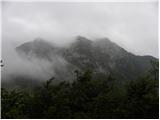 50
50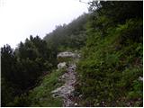 51
51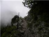 52
52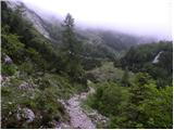 53
53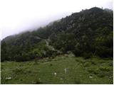 54
54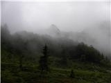 55
55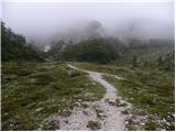 56
56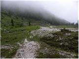 57
57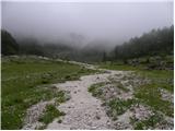 58
58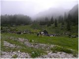 59
59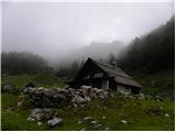 60
60
Discussion about the trail Pod Debelo glavo - Planina Suha (via hunting cottage)
|
| velkavrh21. 08. 2013 |
Tu sem pa lani bil in je prav lepa planina. Ravno ta čas sta bila tudi gor lastnika govedi, ki so se pasle tam in odprla vodo za korito. Bila je hladna in dobra. Imajo domiselno narejen zbiralnik vode.Na blagi brežini na enem koncu planine imajo ograjen prostor zabetoniran s skalami po vsej površini. Na dnu se nato steka voda prek čistilnega peska ali kako se reče v velik rezervoar popolnoma skrit v zemlji. Od tu sem šel kar po neoznačenih potkah in brezpotju direkt na Rodico.
|
|
|