Dovje - Planina Dovška Rožca (via Blažčeva skala)
Starting point: Dovje (760 m)
| Lat/Lon: | 46,4688°N 13,9602°E |
| |
Name of path: via Blažčeva skala
Time of walking: 2 h 40 min
Difficulty: easy unmarked way
Altitude difference: 890 m
Altitude difference po putu: 905 m
Map: Kranjska Gora 1:30.000
Recommended equipment (summer):
Recommended equipment (winter): ice axe, crampons
Views: 697
 | 2 people like this post |
Access to the starting point:
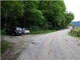
a) Leave the Gorenjska motorway at exit Jesenice West (Hrušica), then continue in the direction of Kranjska Gora. Follow the main road towards Kranjska Gora to the first road turnoff towards Dovjem, and follow the signs for Dovško Baba through the village. After crossing the stream Mlinca, where the MHP (small hydroelectric power plant) is located, park at a suitable place along the road, where there are also mountain direction signs.
b) First drive to Kranjska Gora, then continue to Jesenice. Leave the main road to Jesenice when the signs for Dovje direct you to the left, and follow the signs for Dovško Baba through the village. After crossing the stream Mlinca, where the MHP (small hydroelectric power plant) is located, park at a suitable place along the road, where there are also mountain direction signs.
Path description:
From the starting point, continue along the macadam road in the direction of Jesenice (on the left marked path to Frauenkogel). The road initially climbs cross-country, and during the ascent we occasionally get a nice view of the Julian Alps. Higher up, the road first turns sharp left and then right. At the right-hand bend, leave the road and continue straight on cart track, which climbs cross-country to the left, before reaching a small pass to the right on a beaten track, which then passes a small, partly wooden house on the left-hand side. The path continues through the woods, passing a game feeding area, and after crossing a small stream, bear slightly left. The path then ascends along an unmarked valley to a small pass, where there is a crossroads of unmarked paths.
To the left along the ridge, the track continues, which leads us higher up to the road leading to mountain pasture Dovška Rosenbachsattel, straight down the eastern path to the road, and to the right the track continues, leading to Blažec's Rock.
Continue right and climb quickly to the registration box, bench and cross on Blažec's Rock.
From the top, descend to a small pass, then continue along the initially less visible path, which climbs along a ridge that quickly widens into a slope. When the path reaches the slope, it crosses to the right, and at a clearing the path widens into cart track. Cart track goes higher into the woods and joins a minor dirt road, following it to the left when it reaches a wider road. The gravel road climbs higher and leads us past the lock, then in a cross-climb we reach the saddle between Bele peči and Frauenkogel, where we join the marked path from the valley.
The ascent continues along the road, which after a few steps of further walking leads us to the place where we leave it, as the markings direct us to the left on a steep footpath that continues to climb through the forest. The path crosses a grazing fence and a short scenic slope higher up and then returns to the forest, where it reaches a small unmarked crossroads. Continue left along the waymarked path (straight ahead to the source of the Starka spring, 1 minute), which climbs steeply again, then turns slightly to the right, where after a few minutes' further walking it leads to the lower edge of mountain pasture Dovšek Rosenbachsattel. Here the path turns left and, after a few minutes' climb through flowering meadows, leads us to a shepherd's hut at mountain pasture Dovška Rosenbachsattel.
Starting point - Blažčeva skala 1:00, Blažčeva skala - mountain pasture Dovška Rožca 1:40.

Pictures:
 1
1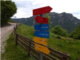 2
2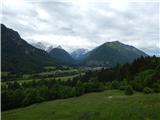 3
3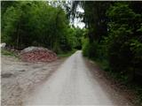 4
4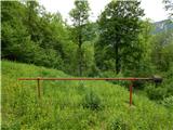 5
5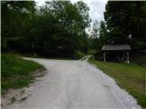 6
6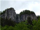 7
7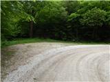 8
8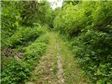 9
9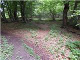 10
10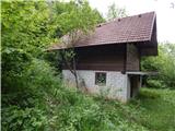 11
11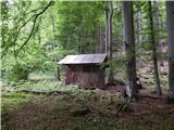 12
12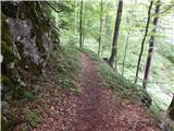 13
13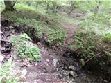 14
14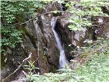 15
15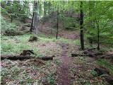 16
16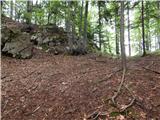 17
17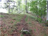 18
18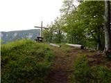 19
19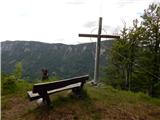 20
20 21
21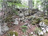 22
22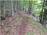 23
23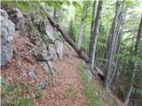 24
24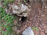 25
25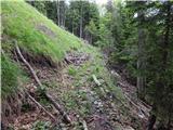 26
26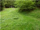 27
27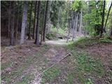 28
28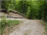 29
29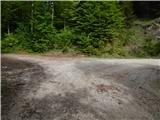 30
30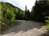 31
31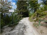 32
32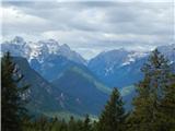 33
33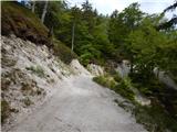 34
34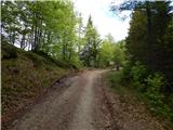 35
35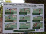 36
36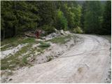 37
37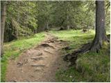 38
38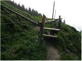 39
39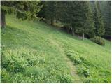 40
40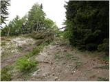 41
41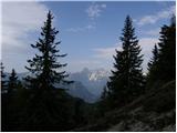 42
42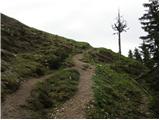 43
43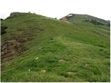 44
44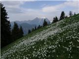 45
45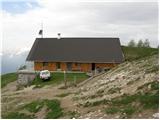 46
46
Discussion about the trail Dovje - Planina Dovška Rožca (via Blažčeva skala)