Starting point: Mislinja (598 m)
| Latitude/Longitude: | 46,4427°N 15,1924°E |
| |
Walking time: 45 min
Difficulty: easy marked way
Elevation gain: 200 m
Elevation difference along the route: 215 m
Map: Pohorje 1:50.000
Recommended equipment (summer):
Recommended equipment (winter):
Views: 5.213
 | 1 person like this post |
Access to starting point:
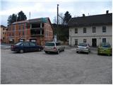
A) From the highway Ljubljana - Maribor we take the exit Žalec, then continue driving in the direction of Velenje. In the main roundabout in Velenje we continue right (directions Dravograd and Slovenj Gradec), then we follow the main road to Mislinja, where we park on one of the parking lots (we can park on the macadam parking lot by the crossroads, where the road branches off to the right to Mislinjski graben or near the main bus station).
B) From Koroška we first drive to Slovenj Gradec, then continue driving towards Velenje. When we arrive in Mislinja we park on the parking lot by the main bus station, or a little further on the macadam parking lot by the turn-off to the road to Mislinjski graben.
Route description:
At the main bus station in Mislinja we notice the mountain signposts for Črepič, which direct us onto the old railway track (today a cycling path) towards Dravograd. Initially we walk on or beside the cycling path, then we arrive at a marked junction, where the path to Završe branches off to the left, and we continue straight ahead in the direction of the summit Črepič.
We continue further along the cycling path, which a little further leads us over a bridge with a yellow railing. Just some 10 m behind the bridge, the signs for Črepič direct us left onto a footpath that steeply ascends through the forest. The path soon levels out somewhat, but continues to ascend relatively steeply along and beside the forested ridge. After about half an hour of ascent the path completely levels out and leads us past a small feeding site out of the forest onto a panoramic hay meadow. We continue past the abandoned hayloft along the path, which returns to the forest, and after 2 minutes of further walking brings us to the forested Črepič.

Photos:
 1
1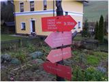 2
2 3
3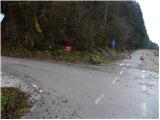 4
4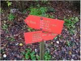 5
5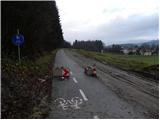 6
6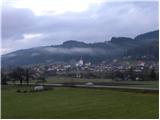 7
7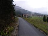 8
8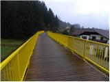 9
9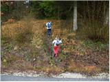 10
10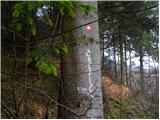 11
11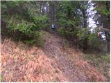 12
12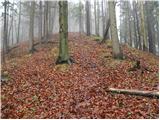 13
13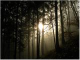 14
14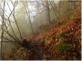 15
15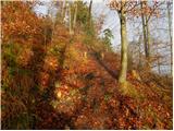 16
16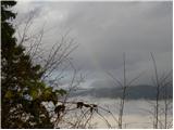 17
17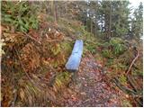 18
18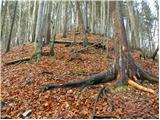 19
19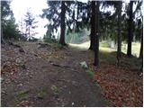 20
20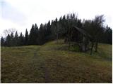 21
21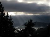 22
22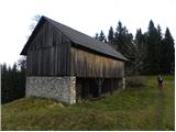 23
23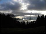 24
24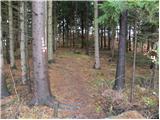 25
25 26
26 27
27 28
28
Discussion about the trip Mislinja - Črepič
To post a comment you must log in:
If you do not yet have a username, you must first
register.