Starting point: Vrbljene (307 m)
| Latitude/Longitude: | 45,9482°N 14,4891°E |
| |
Walking time: 2 h 15 min
Difficulty: easy marked way
Elevation gain: 800 m
Elevation difference along the route: 800 m
Map: Ljubljana - okolica 1:50.000
Recommended equipment (summer):
Recommended equipment (winter):
Views: 12.831
 | 1 person like this post |
Access to starting point:
From the southern Ljubljana bypass, we go to the Rudnik exit and follow the road ahead in the direction of Ig. At the roundabout in Ig, we continue right in the direction of Iška vas, and then in the village Staje we continue right towards the village Vrbljene. In Vrbljene we continue left and then we drive for approximately 100 meters, after which by the road we notice the fire station. Here we turn right and then we park on the parking lot near the Vrbljene hippodrome.
Route description:
Behind the fire station we notice the markings, which lead us to a wide footpath that starts by the hippodrome. The path soon joins a smaller local road, which we follow to the right for approximately 5 minutes. At the spot where the road turns right, we will notice a wide cart track, which after a few steps of walking brings us to the hiking signpost. Here the signs for Krim direct us to the left, onto a still entirely gentle path, which soon crosses the Iška River over a bridge. Immediately after the bridge the path enters the forest, where it then ascends moderately to steeply along a wide and in summertime also quite overgrown cart track. Well-marked path, higher it crosses a few cart tracks, then joins a better-trodden path from the village Strahomer.
We continue in the direction of Krim along a gentle path, which a little further brings us to the next junction, where we join a wide cart track. We continue slightly left in the direction of Krim (right downhill to Tomišelj) along a somewhat steeper cart track, which higher crosses a forest road. The cart track, which all the time runs through the forest, flattens again and a little further brings us to the next junction, where the path from Podpeči and Preserij joins us from the right. We continue along the wide, moderately steep cart track, which higher brings us to the macadam road that leads to Krim. We follow the mentioned road to the left, which quickly brings us to a larger parking lot or turning area, where the path from Iški Vintgar joins from the left (also the path from Iška vas and the path from Strahomer over Kramarca). Here we continue right across the meadow along the path that past a cross in a few additional minutes of walking brings us to the summit of Krim.

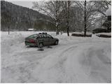
Photos:
 1
1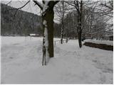 2
2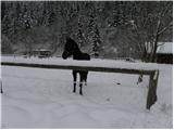 3
3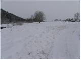 4
4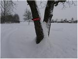 5
5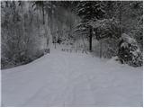 6
6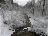 7
7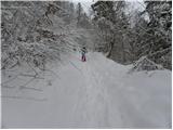 8
8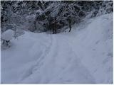 9
9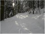 10
10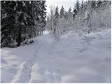 11
11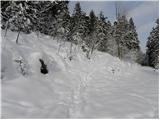 12
12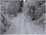 13
13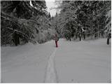 14
14 15
15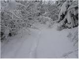 16
16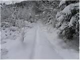 17
17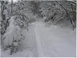 18
18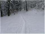 19
19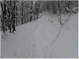 20
20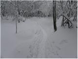 21
21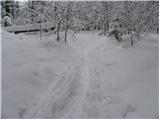 22
22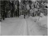 23
23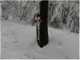 24
24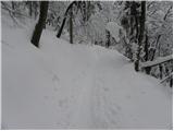 25
25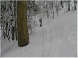 26
26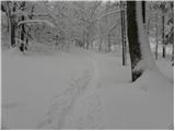 27
27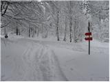 28
28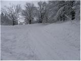 29
29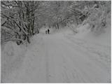 30
30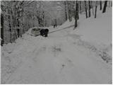 31
31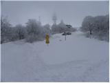 32
32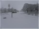 33
33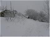 34
34 35
35
Discussion about the trip Vrbljene - Krim
|
| rs561. 02. 2010 |
I see you walked with snowshoes. How was it walking on untouched snow and on the trail? What kind do you use? I'm also before buying snowshoes, so I'm interested in your experience.
|
|
|
|
| rs561. 02. 2010 |
Do you think they would be big enough for 100 kg, or would I need larger ones, for example TSL 227 80-140 kg. If you happen to know the difference
|
|
|
|
| Tadej2. 02. 2010 |
They are 60 cm long and 20 cm wide, how long the TSL 227 are, I don't know.
|
|
|
|
| Tadej2. 02. 2010 |
Data for Inook snowshoes.
Inook VXm:
Snowshoe size: 62.0 x 20.5 cm
Recommended weight: 50 - 100 kg
Recommended height: 165 - 200 cm
Inook VXl:
Snowshoe size: 57.0 x 19.0 cm
Recommended weight: 35 - 80 kg
Recommended height: 150 - 180 cm
|
|
|
|
| rs562. 02. 2010 |
Thanks Tadej, today I bought TSL 227 at Iglu sport. They were discounted from 160€ to 95€. Now on some such tour like yours to try them out. I'm also interested in the path from Jezero to Krim via Planince, if you know it. For May 1st we went with friends on that path. Is it trodden, or will we need to break trail?
|
|
|
|
| Tadej2. 02. 2010 |
I don't know what the path is like in the lower part, but in the upper part it is nicely trodden.
|
|
|
|
| jbs30. 03. 2019 |
For information. The path from Vrbljene to Krim has not been maintained since 1. 1. 2017 and is abandoned.
|
|
|
|
| Mikens23. 06. 2019 |
IMPORTANT!
I ask all hikers to keep their dogs on a leash! (bear area.)
Best hunting regards.
Klement Mal, LD Tomišelj
|
|
|
To post a comment you must log in:
If you do not yet have a username, you must first
register.