Starting point: Urbas (1280 m)
| Latitude/Longitude: | 46,4344°N 14,134°E |
| |
Walking time: 3 h 15 min
Difficulty: easy unmarked way
Elevation gain: 956 m
Elevation difference along the route: 1000 m
Map: Karavanke - osrednji del 1:50.000
Recommended equipment (summer):
Recommended equipment (winter): ice axe, crampons
Views: 13.184
 | 2 people like this post |
Access to starting point:
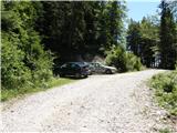
From the highway Ljubljana - Jesenice, we take the exit Lesce and follow the road ahead in the direction of Žirovnica and Jesenice. After a few km of driving, we will come to an intersection, where the road to Žirovnica and Moste branches off to the right (from the direction of Jesenice, left). Just a few meters ahead, at the next intersection, we turn left to Moste (right Žirovnica). Further on, we drive past the monument to fallen fighters, where the road starts to ascend under the railway track. At the top of the hill, we turn right (at the sign Vila Karin), we continue towards Završniško jezero and Valvasorjev dom. The road then flattens and brings us to an intersection, where the road to Valvasorjev dom branches off to the left. We take the mentioned road (straight Koča pri izviru Završnice), which first starts gently, then increasingly steeply ascending on an occasionally quite rough road (the steepest parts are asphalted). Higher up, the road brings us to a somewhat larger intersection, where we continue left in the direction of Potoška planina (right Doslovška planina). The road then flattens and a little further brings us to the next intersection, where the road to Valvasorjev dom branches off to the right, and we continue on the left lower road, which then for quite some time continues without major changes in elevation. The road then leads us past the turn-off of the path to Ajdna and then starts to ascend more steeply on an occasionally quite poor road. The road then flattens again and past Potoška planina brings us to the spring Urbas, near which there are a few smaller parking spots.
From Moste to the starting point, there is approximately 10 km of driving.
Route description:
From the parking lot, we first walk to the spring Urbas, where we notice the mountain sign for mountain pasture Belščica, which directs us onto an initially somewhat harder-to-follow footpath. For the first 15 minutes of walking, the path ascends only gently, then it starts steeply ascending through the forest. Higher up, the forest becomes thinner and slowly transitions into a belt of dwarf pines, and the path starts turning more and more towards the west. After a good hour of walking, we step onto grassy slopes and the path, after a few more steps, brings us to the bivouac on Belščica (emergency bivouac).
From the bivouac, we continue towards the north and already after a few steps we notice a somewhat less visible pathlet that turns sharply right (direction east). Further, we ascend along the mentioned pathlet, which ascends transversely across occasionally somewhat steeper slopes. The path, which crosses two more pronounced gullies, then brings us higher to a marked path, which we follow to the right. Already after a few steps on the marked path, the path to Vajnež branches off to the left (20 minutes), and we continue straight on the path, which gently turns right and, after a few descending steps, brings us into the valley between Vajnež and Potoški Stol (near Vajneževo sedlo). The path only crosses the mentioned valley and then ascends more steeply towards the ridge of Potoški Stol. On the wide grassy ridge, we continue left along which we gently ascend for some time. The path then brings us to the cross below Potoški Stol.
Here we first descend a little and then cross steep slopes on the south side of the ridge. We continue crossing the slope towards the east and the path brings us to a junction before the valley between Mali and Veliki Stol. We continue gently left and begin ascending up the mentioned valley all the way to the junction on the saddle between both peaks. On the saddle, we continue left (right Prešernova koča 5 minutes) in the direction of Stol, whose summit we reach after 10 minutes of further walking.

Photos:
 1
1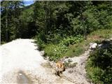 2
2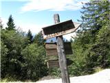 3
3 4
4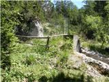 5
5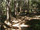 6
6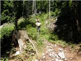 7
7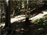 8
8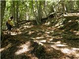 9
9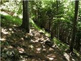 10
10 11
11 12
12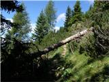 13
13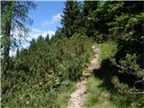 14
14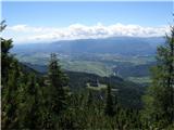 15
15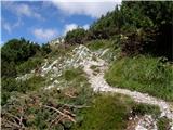 16
16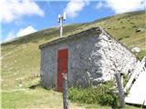 17
17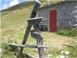 18
18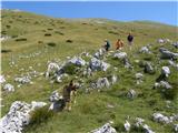 19
19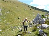 20
20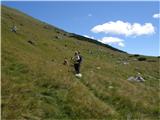 21
21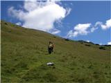 22
22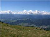 23
23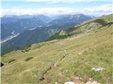 24
24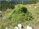 25
25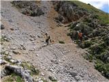 26
26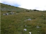 27
27 28
28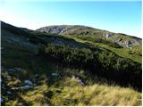 29
29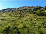 30
30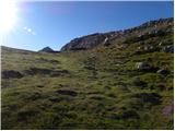 31
31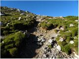 32
32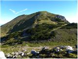 33
33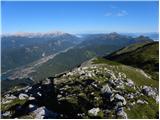 34
34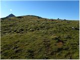 35
35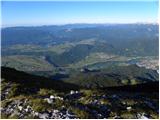 36
36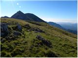 37
37 38
38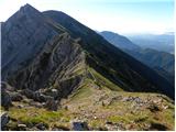 39
39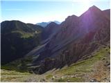 40
40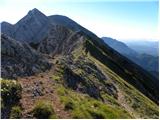 41
41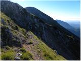 42
42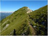 43
43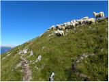 44
44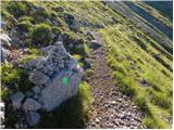 45
45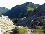 46
46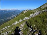 47
47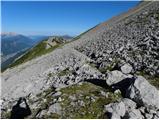 48
48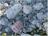 49
49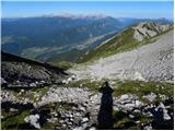 50
50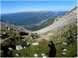 51
51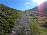 52
52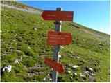 53
53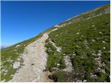 54
54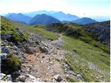 55
55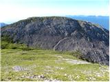 56
56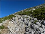 57
57 58
58 59
59
Discussion about the trip Urbas - Hochstuhl/Stol
|
| bol11. 08. 2010 |
Really good tour, especially if you're looking for a path to Stol where there aren't too many people. 
|
|
|
To post a comment you must log in:
If you do not yet have a username, you must first
register.