Grad - Kripta (northern path)
Starting point: Grad (267 m)
| Latitude/Longitude: | 46,80119°N 16,09217°E |
| |
Route name: northern path
Walking time: 25 min
Difficulty: easy unmarked way
Elevation gain: 64 m
Elevation difference along the route: 65 m
Map: Pomurje 1:40.000
Recommended equipment (summer):
Recommended equipment (winter):
Views: 250
 | 1 person like this post |
Access to starting point:
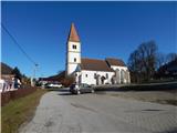
A) We drive to Radenci, and then we continue driving towards Gederovci and Kuzma. From the roundabout in Gederovci we continue in the direction of Kuzma, after the settlement Pertoča we go right towards Grad. When we get to Grad, at the store Spar we continue straight and we drive a little further to the parish church of St. Mary of the Assumption, where we park on the parking lot in front of the church.
B) From Murska Sobota we drive towards Gederovci, and in Černelavci we go right in the direction of Grad. Further, we drive through a few more settlements, where at the crossroads we continue in the direction of Grad. When we already get to Grad, past the store Spar we drive to the parish church in Grad, next to which we park on the parking lot.
Route description:
From the parking lot at the church, we walk to the main road and we continue by the road towards the southwest. When we walk on a sidewalk, the path leads us past the football field, and when we get to a crossroad below store Spar, we continue straight in the direction of Dolnjih Slavečev (left - castle Grad and one of the paths to Kripta).
Only a few 10 steps ahead, in front of the gas station Maxen, the markings direct us to the left, on a side road which at a larger decaying building turns right. Next follows a walk between the field on the left and a decaying structure on the right, and when on the left between the fields a passage opens up, we continue there (here we leave the marked path), and at the edge of the forest at the hunting observatory, we go left and we continue on a cart track which leads by the field. Only about 30 meters ahead quite unnoticeably a quite overgrown cart track branches off to the right, which leads us uphill and it starts ascending steeper. Before we on the upper part of the forest reach the grassy slope, we go right and after a few meters when a worse cart track ends, we continue on a small footpath which ascends diagonally towards the right, and a little ahead it brings us to the cart track which we follow to the right, and there after a few 10 steps we get to the top of Kripta.
Description and pictures refer to the condition in February 2021.

Photos:
 1
1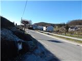 2
2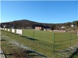 3
3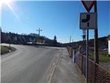 4
4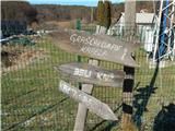 5
5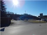 6
6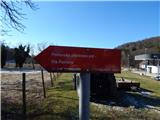 7
7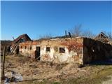 8
8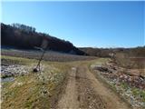 9
9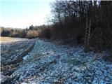 10
10 11
11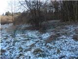 12
12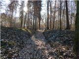 13
13 14
14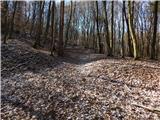 15
15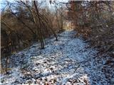 16
16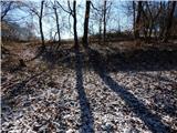 17
17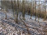 18
18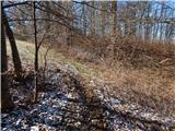 19
19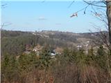 20
20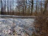 21
21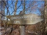 22
22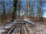 23
23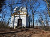 24
24
Discussion about the trip Grad - Kripta (northern path)
To post a comment you must log in:
If you do not yet have a username, you must first
register.