Bučan - Lokovnikov Grintovec / Grintoutz
Starting point: Bučan (1010 m)
| Latitude/Longitude: | 46,4463°N 14,2564°E |
| |
Walking time: 2 h 45 min
Difficulty: difficult marked way
Elevation gain: 799 m
Elevation difference along the route: 900 m
Map: Karavanke - osrednji del 1:50.000
Recommended equipment (summer):
Recommended equipment (winter): ice axe, crampons
Views: 4.292
 | 3 people like this post |
Access to starting point:
From the highway Ljubljana - Jesenice we take the exit Ljubelj (Tržič), and then we continue driving in the direction of Celovec / Klagenfurt. After the Ljubelj tunnel the road starts descending, and on the Austrian side we follow it to the first left turn, where the old Ljubelj road branches off to the right. We park at a suitable place at the intersection, or we can also park higher on the Austrian side of the former border crossing Ljubelj.
Route description:
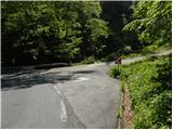
From the starting point, we head onto the old Ljubelj road, which is closed to public traffic by a traffic sign. The road first moderately ascends over two hairpin bends, then continues along the stream to the ruins of the former church of St. Lenart, by which stands a somewhat larger sign. Here the road turns to the left and gradually moves away from the valley. From the road, nice views then start opening onto Palec and other surrounding peaks. The road further leads past a smaller intersection, where we continue sharply right on the "main" road, then in a moderate ascent we cross steep slopes (danger of falling rocks, or in winter time snow avalanches and slips). Higher, the road makes a few more hairpin bends, then brings us to a marked junction, where we continue to the left where a marked footpath branches off towards Košutica / Loibler Baba. Further along the road it is another 10 minutes' walk to the Koča na Ljubelju mountain hut.
From the junction we continue along the path through the forest, which mostly ascends and after approximately 30 minutes of walking from the end of the road brings us to the border ridge. The path along the ridge is not overly steep but the slopes along which we walk are steep, so especially when wet great caution is needed. In places, fixed safety gear and a ladder also assist us. The forest then becomes progressively thinner and the path brings us to the pastures of Grunt. Grunt is an indistinct peak on the path along which we walk.
Here a path from the concentration camp joins from the right, and we continue straight along the ridge beside the border fence. After a short ascent the path brings us to a marked junction.
We continue left over the fence following the signs Hainschgraben / Hajnžev graben.
On the Austrian side we first slightly descend along the marked path, then the path turns right and crosses the fence.
We continue eastwards along the path, which runs below the ridge of Košutica and brings us to Dovjakovo sedlo. On the grassy saddle, located between Košutica and Lokovnikov Grintovec, we continue left along the ridge beside the fence upwards. Initially the path runs briefly through the forest, then we cross the fence and begin ascending through dwarf pines. The poorly beaten and somewhat overgrown path then mostly runs along the ridge through dwarf pines and soon brings us to the panoramic summit.

Photos:
 1
1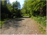 2
2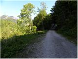 3
3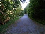 4
4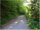 5
5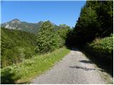 6
6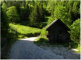 7
7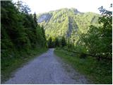 8
8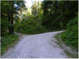 9
9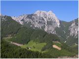 10
10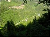 11
11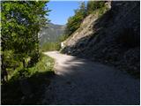 12
12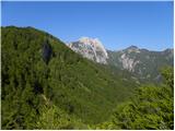 13
13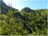 14
14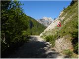 15
15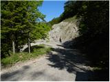 16
16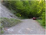 17
17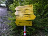 18
18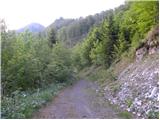 19
19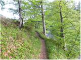 20
20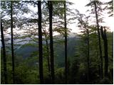 21
21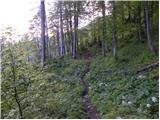 22
22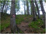 23
23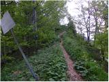 24
24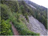 25
25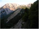 26
26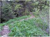 27
27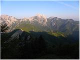 28
28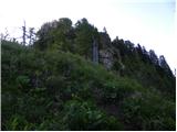 29
29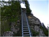 30
30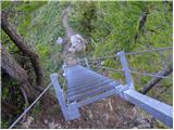 31
31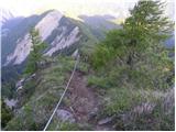 32
32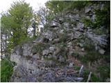 33
33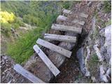 34
34 35
35 36
36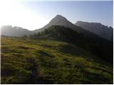 37
37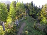 38
38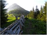 39
39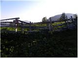 40
40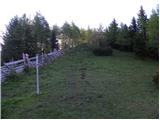 41
41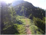 42
42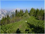 43
43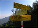 44
44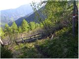 45
45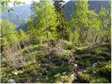 46
46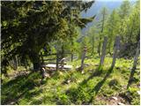 47
47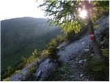 48
48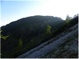 49
49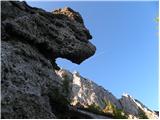 50
50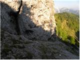 51
51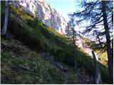 52
52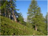 53
53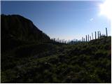 54
54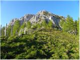 55
55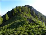 56
56 57
57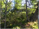 58
58 59
59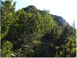 60
60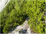 61
61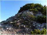 62
62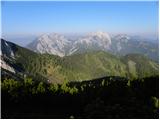 63
63 64
64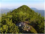 65
65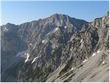 66
66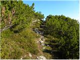 67
67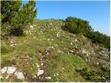 68
68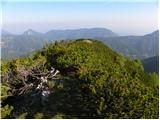 69
69 70
70
Discussion about the trip Bučan - Lokovnikov Grintovec / Grintoutz
To post a comment you must log in:
If you do not yet have a username, you must first
register.