MP Robič - Monte Mataiur/Matajur (Via Palma)
Starting point: MP Robič (225 m)
| Latitude/Longitude: | 46,21474°N 13,49535°E |
| |
Route name: Via Palma
Walking time: 4 h
Difficulty: very difficult marked way
Via ferrata: B
Elevation gain: 1417 m
Elevation difference along the route: 1430 m
Map: Julijske Alpe - zahodni del 1:50.000
Recommended equipment (summer): helmet, self belay set
Recommended equipment (winter): helmet, self belay set, ice axe, crampons
Views: 365
 | 2 people like this post |
Access to starting point:
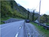
At first, we drive to the center of Kobarid, then continue driving towards the village of Robič and cross into Italy via the former border crossing of the same name. From the border crossing on the Italian side, we continue along the main road for approximately 300 meters, after which we will notice mountain trail signposts and information boards on the left side of the road. We park at a small parking area on the right side of the road.
Route description:
From the smaller parking lot, we first cross the road and walk to the nearby signposts and information boards. The signpost directs us onto a footpath that ascends very steeply and leads us into the forest. The path then leads us quite a long way through the forest while continuously ascending steeply. The path is less frequented and consequently somewhat less worn, but it is sufficiently well marked with blazes that orientation during the ascent presents no major difficulties. The steep path also takes us past a few gullies and, after about an hour and a half of walking from the starting point, brings us to a side ridge along which a slightly exposed section leads to the first steel cables.
Here we climb a steep slope; since the slope is also grassy and there is some soil on the path, it is particularly slippery and dangerous in wet conditions. Therefore, the use of a self-belaying set is highly recommended. The fixed protection then ends for a while, while the path continues to ascend fairly steeply through the forest. Along the path here we can also notice some old faded blazes, as this was once the route of the old path. Further on there are several secured and several unsecured ascents through the forest, after which we reach a short grassy section of the ridge that offers a very fine view of the nearby peaks. In the background, Kanin is beautifully visible.
Higher up, the secured path continues along a steeper, once again more grassy slope that is dangerous for slipping. The forest then becomes thinner and we soon reach the rather indistinct summit of Kremen, where the secured path ends. The secured path has numbered sections of steel cable; there are 16 in total.
The path then leads us onto gentler grassy slopes and past abandoned old cheese-making huts to a junction where we join trail no. 725 that comes from the village of Štupca (Stupizza).
At the junction we continue left; the path leads along relatively gentle grassy slopes with increasingly sparse trees. Along the way we may still notice an old mountain hut or two, and then the path brings us to Marsinska planina, where there is also a cottage.
We continue past the cottage and soon reach another junction. We continue left; the right branch leads to Matajur past Dom na Matajure and also towards other starting points. Our path then ascends diagonally and brings us to the northwestern side of Matajur, from where beautiful views open towards Stol and Kanin. Here the path turns right, leads past a few more cottages, and then we reach a small saddle near the indistinct peak of Visoka Glava.
We continue right and begin ascending along the ridge on the northern side of Matajur. From the path a view also opens to the east, where Krn is clearly visible. We continue along the now somewhat steeper path and soon reach the summit of Matajur, where there is also a chapel.
The described route is suitable for experienced mountaineers and is not recommended for descent. We can descend via the path that leads to the village of Štupca (Stupizza). From there we return along the road to the starting point.

Photos:
 1
1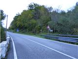 2
2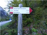 3
3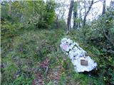 4
4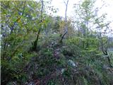 5
5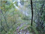 6
6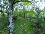 7
7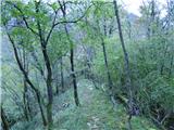 8
8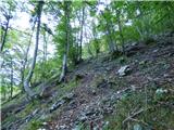 9
9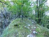 10
10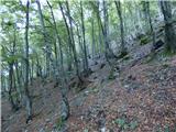 11
11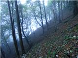 12
12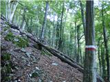 13
13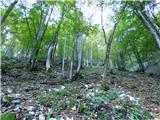 14
14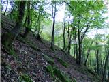 15
15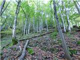 16
16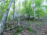 17
17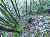 18
18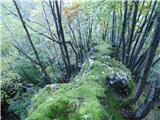 19
19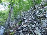 20
20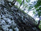 21
21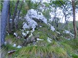 22
22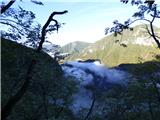 23
23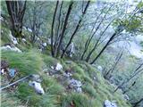 24
24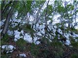 25
25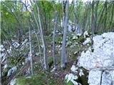 26
26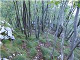 27
27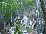 28
28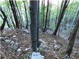 29
29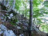 30
30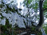 31
31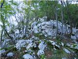 32
32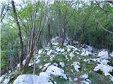 33
33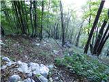 34
34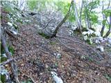 35
35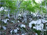 36
36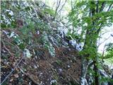 37
37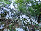 38
38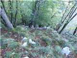 39
39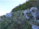 40
40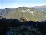 41
41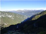 42
42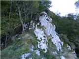 43
43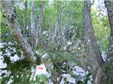 44
44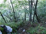 45
45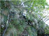 46
46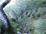 47
47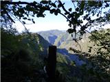 48
48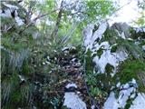 49
49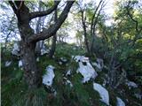 50
50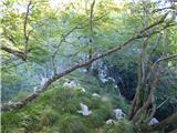 51
51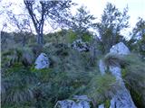 52
52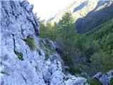 53
53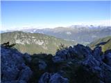 54
54 55
55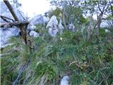 56
56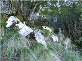 57
57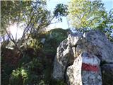 58
58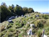 59
59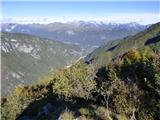 60
60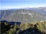 61
61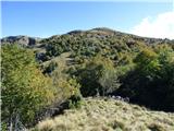 62
62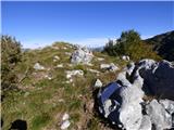 63
63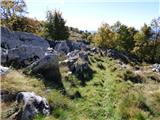 64
64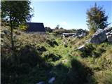 65
65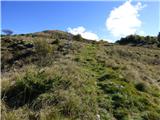 66
66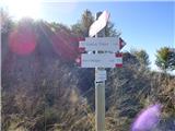 67
67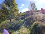 68
68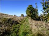 69
69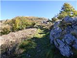 70
70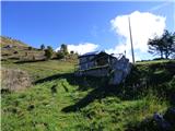 71
71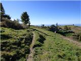 72
72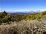 73
73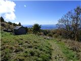 74
74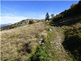 75
75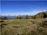 76
76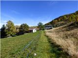 77
77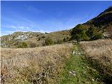 78
78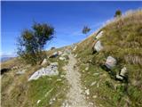 79
79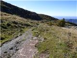 80
80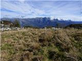 81
81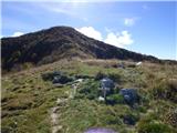 82
82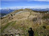 83
83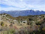 84
84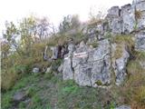 85
85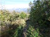 86
86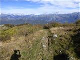 87
87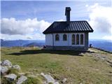 88
88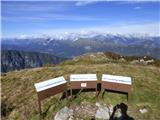 89
89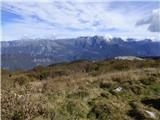 90
90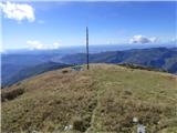 91
91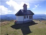 92
92
Discussion about the trip MP Robič - Monte Mataiur/Matajur (Via Palma)
To post a comment you must log in:
If you do not yet have a username, you must first
register.