Senaru - Gunung Rinjani (Tropical approach)
Starting point: Senaru (590 m)
Route name: Tropical approach
Walking time: 15 h
Difficulty: difficult marked way
Elevation gain: 3136 m
Elevation difference along the route: 3850 m
Map:
Recommended equipment (summer): lamp
Recommended equipment (winter):
Views: 1.790
 | 2 people like this post |
Access to starting point:
The village Senaru is located at the northern part of Lombok island in Indonesia (east of Bali). The trail begins at the end of the road in Senaru village.
Route description:
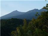
The trail from Senaru is known as a tropical approach. The trekking adventure usually starts in the late morning hours at the Rinjani trek centre at the end of the road in Senaru village at approx. 600 m of elevation. After signing (and paying the fees) the trek can begin. The trail gradually heads up through the rain forest to POS I at 934 m (1 hour). Look out for an "organic" walking stick at this point! The beginning is the hottest part of the entire trek and only after additional 2 hours when the POS II at 1500 m is reached, it gradually gets colder. POS II is a usual stop for a rest and a meal. Be on the lookout for macaque monkeys! Epic battles for snacks were fought and lost here! … From here on, the forest begins to brighten up a little, but clouds begin to gather. In the case of rain, do not touch too many tree trunks. I got a leech like this on another trek in Bali mountain Gunung Agung 85 kilometers away. But I guess the same can happen here. However, after 2 hours of walking up the forest suddenly ends with no gradual transition to pine trees or something. Instead the high grass and an occasional bush dominate the scenery for the next 5 minutes until the POS III at around 2000 m. The path continues gradually at first but it gets steeper and steeper the closer one gets to the crater rim near Pelawangan I. It takes 2 hours to get there and if it is not cloudy, the rim can be seen far above as a distant destination that persists to stay away for more than an hour. It is normally cloudy in the late afternoon / evening so the views down to the lake and Gunung Rinjani are not as clear as in the morning. But it is nevertheless rewarding to spend a few minutes at the rim before returning a few tens of meters down the path to the camp where the night is usually spent. If you leave some food outside the tent for the night you may hear strange sounds just as our group did. We couldn't quite identify those sounds though, some bet on the dog, some on the monkey, some even on some kind of wild animal, but nobody dared or bothered to take a look outside the tent. It was obviously quite cold during the night …no, it really was!
The next day usually starts at the crater rim awaiting the sunrise. After the sunrise it is the best time of the day for taking photos, since the air is clear. After breakfast and packing the path continues down to the lake. The crater itself is huge with dimensions 6 km x 8.5 km and it is 600 meters deep, therefore it takes 2 hours to descend to the lake. The descent is steep and technically it may be graded as partly difficult to difficult. It requires some modest bouldering but the porters can do it gracefully while wearing 30 kilograms on only one (!) of their shoulders and with most basic beach footwear imaginable. On this side of the slope, the pine trees soon begin. Further down the grass is also taller. Being used to pristine alpine environment, we were somewhat annoyed because of all the garbage lying around by the lake. However, the cleaning was supposed to be under way. It takes additional 20 minutes to get to the lake campsite and additional 10 minutes to the hot springs (take a path left from the campsite). The hot springs manifest themselves in two parallel waterfalls and two natural pools of 45°C-hot-water. The fish live in the water and they nibble the dead skin off the feet but only if you keep them still for a while. It is quite a tingly sensation.
The ascent to the crater rim campsite at Pelawangan II begins by taking the right path from the campsite at the lake. The path is not steep for the first 1 hour or so but it has many variations. The best is to always keep just one path above the lowest one. This means that at first crossroads it is necessary to go right and then at the next back left and so on for two more iterations. The reason is the damaged and a bit more dangerous lower path. There are some river crossings along the way. The second part of the path winds up to the rocky and steep terrain that heads up to the crater rim. The path is well maintained here, nevertheless there is one steep section of about 2 meters that requires the use of hands. Pelawangan II is an area below the mountain summit at intersection of paths coming from the lake, summit and from the village Sembalun Lawang (i.e. Savannah approach). The campsite at Pelawangan II is around 2700 m above sea level. This campsite is, anecdotically speaking, the most popular one among macaque monkeys, however they come to "camp" here only during the daytime.
After waking up at 2:30 to the cold night the final part of the path begins. It takes 3 hours to reach the summit, but the path is steep and full of scree so it might take a little more than that (it is so much fun to go down). A flash torch is a very useful item to have here, however I turned it off because everything was lit by the moonlight. For many fellow travelers this was the most difficult part of the path, however the most difficult part for me was the hot and humid beginning at Senaru. The path to the summit is steep and full of scree for the first hour. The second hour of walk is less steep as you walk on the mountain ridge. The last hour is again steep and full of scree that constantly pushes you backwards. It can get windy on the ridge and on the summit, so wear gloves and a cap. The view from the summit is spectacular. The three Gili islands and the volcano on Bali dominate the west. It is possible to see the island Sumbawa to the east and all the way down to the Sembalun Lawang village.
The trek takes 7 hours from Senaru to the crater rim at Pelawangan I (Day 1). The descent to the lake takes additional 2 hours. The ascent from the lake to the crater rim at Pelawangan II campsite takes 3 hours (Day 2). The final ascent to the summit takes 3 hours (Day 3 with a descent to Sembalun Lawang). In total the trek to the summit takes 15 hours without stops and rests (one way).
The best time to visit the Rinjani mountain is during the dry season, which lasts from June to September.
The description and photos are based on conditions from the end of June 2016.

Along the route: POS I (934m), POS II (1500m), POS III (2027m), Pelawangan I (2641m),
Danau Segara Anak (2009m), Hot springs | vroči vrelci (1980m), Pelawangan II (2701m)
Photos:
 1
1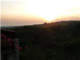 2
2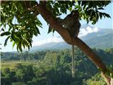 3
3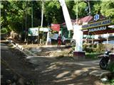 4
4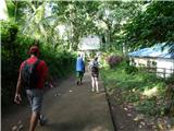 5
5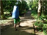 6
6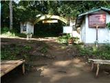 7
7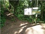 8
8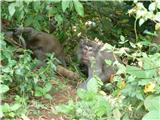 9
9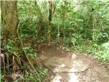 10
10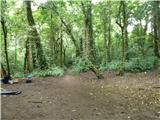 11
11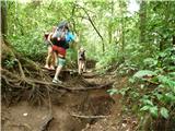 12
12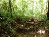 13
13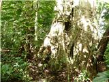 14
14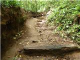 15
15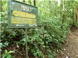 16
16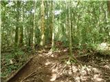 17
17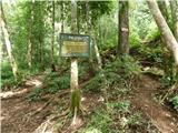 18
18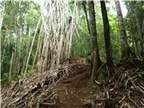 19
19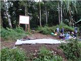 20
20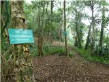 21
21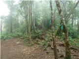 22
22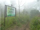 23
23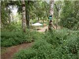 24
24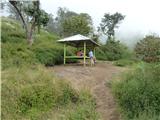 25
25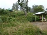 26
26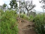 27
27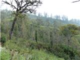 28
28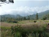 29
29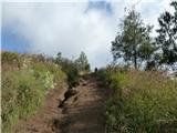 30
30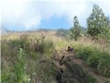 31
31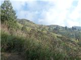 32
32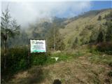 33
33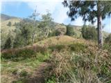 34
34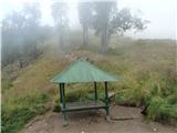 35
35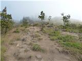 36
36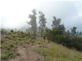 37
37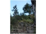 38
38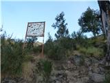 39
39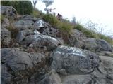 40
40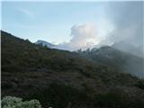 41
41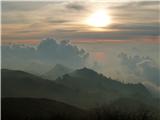 42
42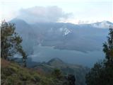 43
43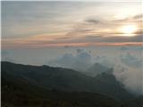 44
44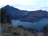 45
45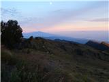 46
46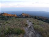 47
47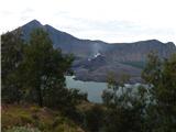 48
48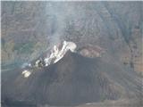 49
49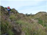 50
50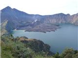 51
51 52
52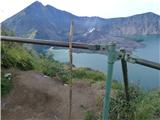 53
53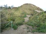 54
54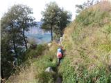 55
55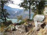 56
56 57
57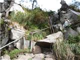 58
58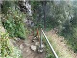 59
59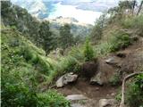 60
60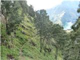 61
61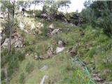 62
62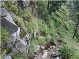 63
63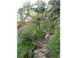 64
64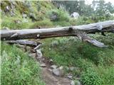 65
65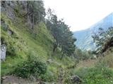 66
66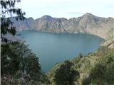 67
67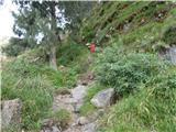 68
68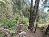 69
69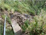 70
70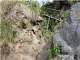 71
71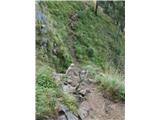 72
72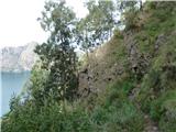 73
73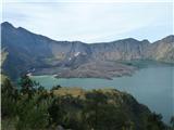 74
74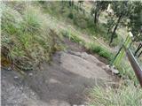 75
75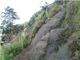 76
76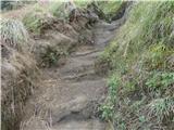 77
77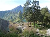 78
78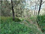 79
79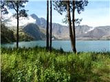 80
80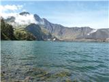 81
81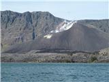 82
82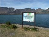 83
83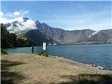 84
84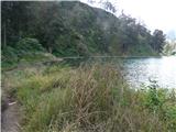 85
85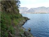 86
86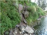 87
87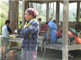 88
88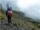 89
89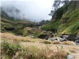 90
90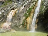 91
91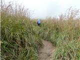 92
92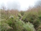 93
93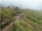 94
94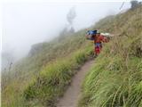 95
95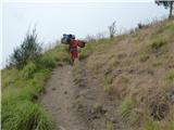 96
96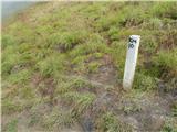 97
97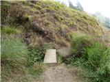 98
98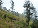 99
99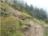 100
100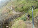 101
101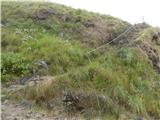 102
102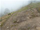 103
103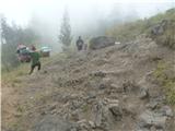 104
104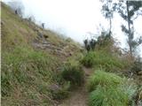 105
105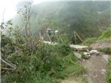 106
106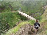 107
107 108
108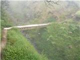 109
109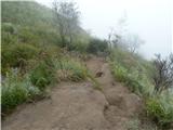 110
110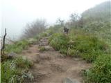 111
111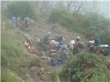 112
112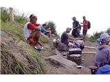 113
113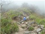 114
114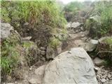 115
115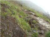 116
116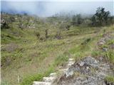 117
117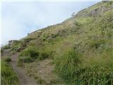 118
118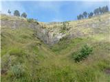 119
119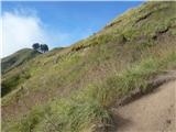 120
120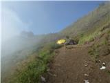 121
121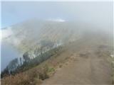 122
122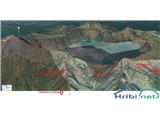 123
123 124
124 125
125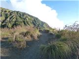 126
126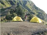 127
127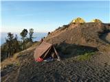 128
128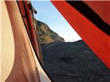 129
129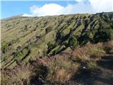 130
130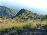 131
131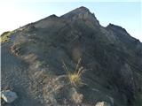 132
132 133
133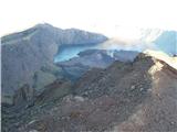 134
134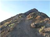 135
135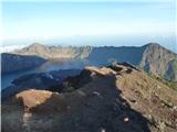 136
136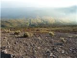 137
137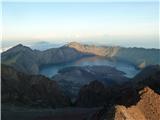 138
138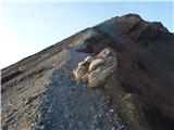 139
139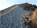 140
140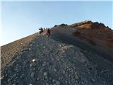 141
141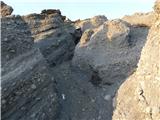 142
142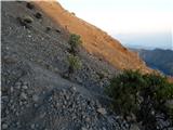 143
143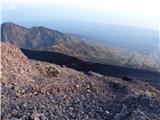 144
144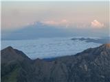 145
145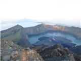 146
146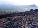 147
147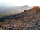 148
148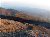 149
149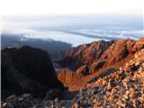 150
150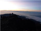 151
151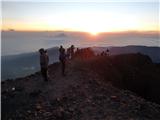 152
152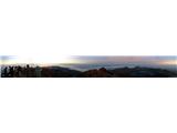 153
153 154
154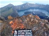 155
155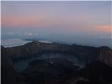 156
156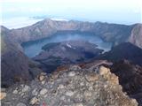 157
157
Discussion about the trip Senaru - Gunung Rinjani (Tropical approach)
To post a comment you must log in:
If you do not yet have a username, you must first
register.