Ukanc - Šija (via Žagarjev graben)
Starting point: Ukanc (570 m)
| Latitude/Longitude: | 46,2758°N 13,8358°E |
| |
Route name: via Žagarjev graben
Walking time: 4 h
Difficulty: easy marked way
Elevation gain: 1310 m
Elevation difference along the route: 1325 m
Map: TNP 1:50.000
Recommended equipment (summer):
Recommended equipment (winter): ice axe, crampons
Views: 2.510
 | 3 people like this post |
Access to starting point:
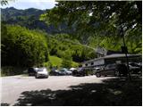
A) From the highway Ljubljana - Jesenice we go to the exit Lesce and follow the road towards Bled, Bohinjska Bistrica, Ribčev Laz and Vogel ski area. The path starts at a large well-maintained parking lot at the bottom station of the cableway on Vogel.
B) From Primorska we first drive to Bohinjska Bistrica, and then we follow the signs for Lake Bohinj and Vogel. The path starts at the parking lot at the bottom station of the cable car on Vogel.
Route description:
Below the bottom station of the cableway on Vogel we notice a forest road (in winter a ski slope), which starts moderately ascending towards the west. The path ahead for some time gently to moderately ascends, and then it brings us out of the forest on a panoramic slope, from where a beautiful view opens up on Komarča, Pršivec and Lake Bohinj.
After that the road starts turning more and more to the left and becoming steeper and steeper. Higher, we continue on a relatively steep ski slope, along which a rough and gravelly transport-rescue road leads us continuously. After a while the road or ski slope temporarily flattens, then steeply ascends again and brings us to a marked junction, where we continue left in the direction of Ski Hotel Vogel (straight bottom station of the two-seater chairlift Zadnji Vogel).
Only a little further we arrive at the next junction, where we continue right towards mountain pasture Zadnji Vogel (slightly left Ski Hotel Vogel and mountain hut Planinska koča Merjasec). On the ski slope we walk less than 10 minutes and the path brings us to mountain pasture Zadnji Vogel, where there is a cheese dairy.
Past the cheese dairy continues a marked path towards Vogel, Šija and Komna, and we continue straight and ascend on the ski slope, which starts ascending towards the southeast. Higher, where the ski area splits, we cross one of the marked paths that leads towards Vogel and continue on the path in approximately the same direction (left Ski Hotel Vogel).
We also continue ascending on the ski area, and we walk on the ski area all the way to the upper station of the one-seater chairlift Šija.
From the upper station we continue slightly right and in a few steps ascend to the indistinct summit of Visoki Orlov rob.
From there the path temporarily descends a little, then starts moderately ascending and brings us in a few minutes to a marked junction. From the junction we continue straight in the direction of Šija (left Rodica, right Vogel) and continue the ascent on the steep path, along which in 5 minutes of further walking we arrive at the panoramic and precipitous summit.
Starting point - mountain pasture Zadnji Vogel 2:30, mountain pasture Zadnji Vogel - Visoki Orlov rob 1:15, Visoki Orlov rob - Šija 0:15.

Along the route: Planina Zadnji Vogel (1413m), Visoki Orlov rob (1800m)
The trip can be extended to the following destinations: Vrh Dlani
Photos:
 1
1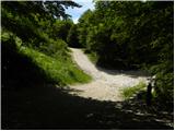 2
2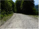 3
3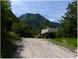 4
4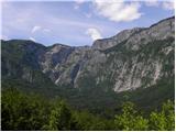 5
5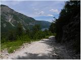 6
6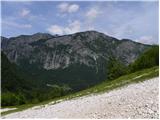 7
7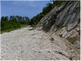 8
8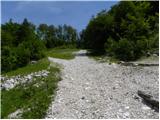 9
9 10
10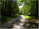 11
11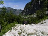 12
12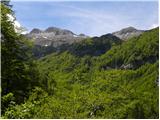 13
13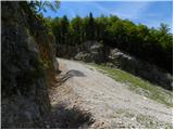 14
14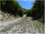 15
15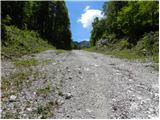 16
16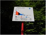 17
17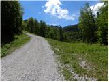 18
18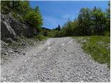 19
19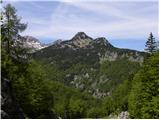 20
20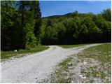 21
21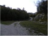 22
22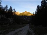 23
23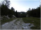 24
24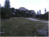 25
25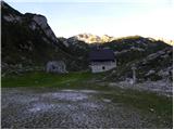 26
26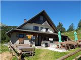 27
27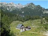 28
28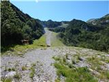 29
29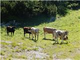 30
30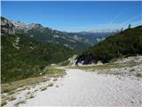 31
31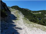 32
32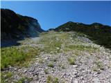 33
33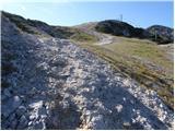 34
34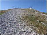 35
35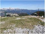 36
36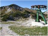 37
37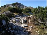 38
38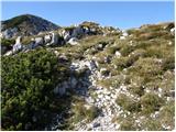 39
39 40
40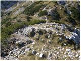 41
41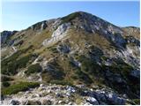 42
42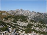 43
43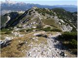 44
44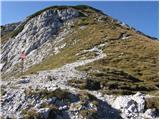 45
45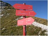 46
46 47
47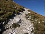 48
48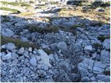 49
49 50
50 51
51 52
52 53
53 54
54
Discussion about the trip Ukanc - Šija (via Žagarjev graben)
To post a comment you must log in:
If you do not yet have a username, you must first
register.