Starting point: Zlatten (455 m)
| Latitude/Longitude: | 47,37221°N 15,30965°E |
| |
Walking time: 2 h 30 min
Difficulty: easy marked way
Elevation gain: 853 m
Elevation difference along the route: 925 m
Map: https://www.bergfex.at
Recommended equipment (summer):
Recommended equipment (winter): ice axe, crampons
Views: 121
 | 1 person like this post |
Access to starting point:
We leave the Maribor-Graz-Salzburg highway (A9) after a few shorter tunnels outside Graz and continue right on the expressway in the direction of Wien-Bruck/Muhr-Peggau.
We leave the expressway at the Mixnitz exit, and then at the roundabout we choose the third exit for Zlatten. Immediately after that follows the next roundabout, where we choose the first exit for Zlatten.
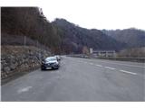
We drive on a local road in the same direction as the expressway leads. After approximately 4.5 km, we pay attention to the beginning of the tunnel on the expressway on the left side. Immediately thereafter, there is a parking lot on the left side where we park.
Route description:
From the parking lot, we follow the blazes on the road upwards. We walk above the highway and admire a beautiful view towards Hochlantsch.
After 250 meters, the signpost directs us right. We leave the road and walk by the shooting range on a wide forest path upwards.
After about 100 meters, a sign directs us left to the start of the forest footpath, where we immediately begin ascending a steep slope.
The well-marked footpath crosses the forest road a few times. For a short time, we also walk on the road until we reach the foot of Hochanger.
Up through the meadow, we pass the mountain pasture "Angereralm," cross the road for the last time, and conquer the final part of the grassy slope.
We arrive at a crossing, where we continue left through the meadow. Soon, we spot the cross at the summit of Hochanger.
Photos:
 1
1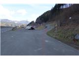 2
2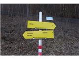 3
3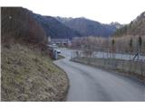 4
4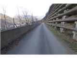 5
5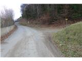 6
6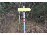 7
7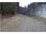 8
8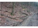 9
9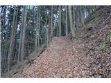 10
10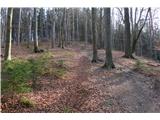 11
11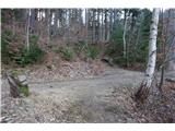 12
12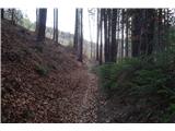 13
13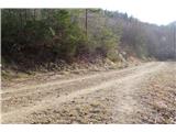 14
14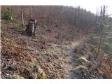 15
15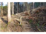 16
16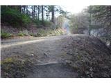 17
17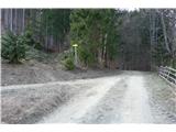 18
18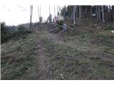 19
19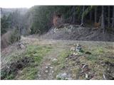 20
20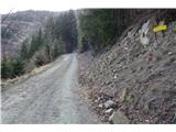 21
21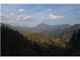 22
22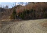 23
23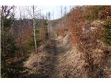 24
24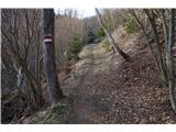 25
25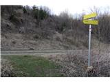 26
26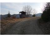 27
27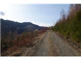 28
28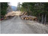 29
29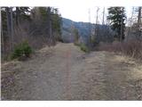 30
30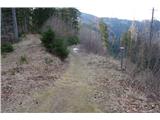 31
31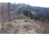 32
32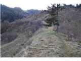 33
33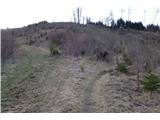 34
34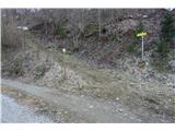 35
35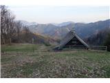 36
36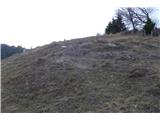 37
37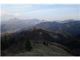 38
38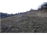 39
39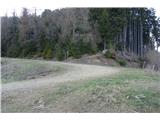 40
40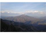 41
41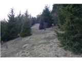 42
42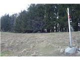 43
43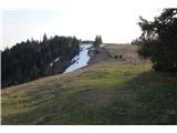 44
44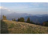 45
45 46
46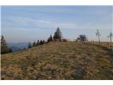 47
47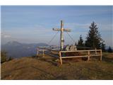 48
48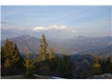 49
49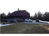 50
50 51
51
Discussion about the trip Zlatten - Hochanger
To post a comment you must log in:
If you do not yet have a username, you must first
register.