Žekovec - Boskovec (via Verbučeva planina)
Starting point: Žekovec (500 m)
| Latitude/Longitude: | 46,3565°N 14,931°E |
| |
Route name: via Verbučeva planina
Walking time: 3 h
Difficulty: easy marked way
Elevation gain: 1087 m
Elevation difference along the route: 1100 m
Map: Kamniške in Savinjske Alpe 1:50.000
Recommended equipment (summer):
Recommended equipment (winter): ice axe, crampons
Views: 8.283
 | 1 person like this post |
Access to starting point:
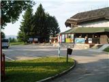
First, we drive to Mozirje, where at the roundabout we head in the direction of "Golte". After 4 km of driving, we arrive in the village Žekovec at the lower station of the Golte cableway and park there.
Route description:
The path starts where the one-way road turns left downwards. We can also start on the left path over Zagradiška puša, as both paths join after approx. 20 minutes. We go right between the houses on the upper asphalt road, which quickly ends and the path turns left upwards into the forest. A little higher we reach a forest road, which we follow for about 100 m, and there we turn left onto the path. Soon the path comes back onto the road, where both paths join.
We continue on the middle unmarked steep path upwards. This part of the path is also used by cyclists. A little higher this path comes back onto the road and the marked path. We continue along the road all the way to the cross on the right side of the road. At the cross the path turns left upwards into the forest. A little below the cross there is also a spring with drinking water. A little higher we cross the road twice again, pass the second cross and reach the road again. The marked path goes left across the meadow, but we go right on the macadam road to the asphalt road for Golte. On this road we go approx. 100 m and then right into the forest. This part of the path is also used by cyclists. Soon we cross the macadam road again and continue on the marked path. When we reach the farm we go right. Past the farm we go left beside the buildings and upwards on a slightly more grassy road. A little above the farm we cross the road again and continue right upwards on the path. The path through the forest ascends steadily until we reach the forest road, which ends there. Ahead there are three forest drag tracks. We take the middle one. After about 100 m we take the left one, after which the path ascends very evenly and steeply all the way to Verbučeva planina. When we reach the fence, on the left side 20 m lower in front of the fence there is always a slightly camouflaged 20 m long path to the hunting observatory, from which there is a nice view of the valley.
From the fence onwards the gradient eases. To the left below we notice the hunting hut. Twice we go briefly through the forest, then on the pasture we spot the hunting blind. We go left beside it and continue left or right to the log cabin, which we see straight ahead at the end of the pasture. This part of the path is flat. Before the log cabin we turn left upwards onto the forest road. When this road brings us to a small clearing we turn right onto the path. Soon we reach a junction, from where it is only a couple of minutes to the summit.
On the summit there is a lookout tower that provides a nice view. We can return to the valley by the approach route or go along Severjeva pot, which a little below the clearing turns right into the forest to Mozirska koča. There we decide whether to descend on foot or take the gondola down to the valley. Do not miss the viewpoint on this path. In the summer season we can visit the alpinetum at Mozirska koča.

Photos:
 1
1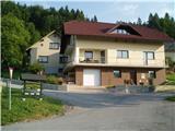 2
2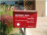 3
3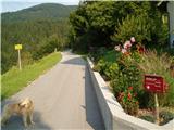 4
4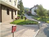 5
5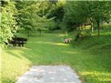 6
6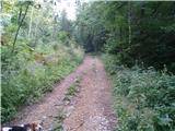 7
7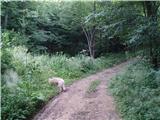 8
8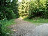 9
9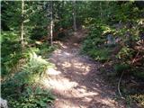 10
10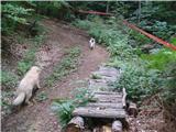 11
11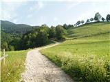 12
12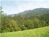 13
13 14
14 15
15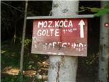 16
16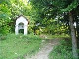 17
17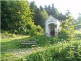 18
18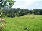 19
19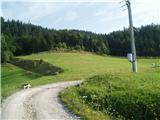 20
20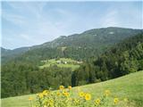 21
21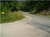 22
22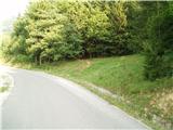 23
23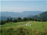 24
24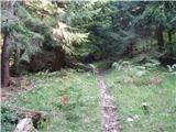 25
25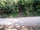 26
26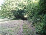 27
27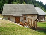 28
28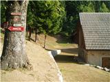 29
29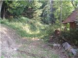 30
30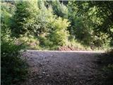 31
31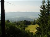 32
32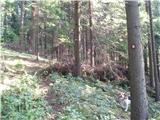 33
33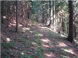 34
34 35
35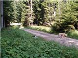 36
36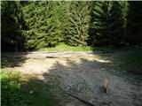 37
37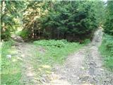 38
38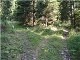 39
39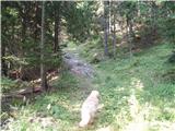 40
40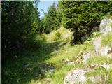 41
41 42
42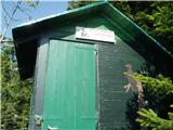 43
43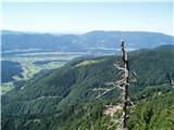 44
44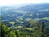 45
45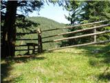 46
46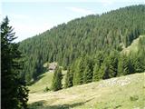 47
47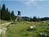 48
48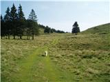 49
49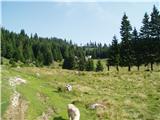 50
50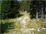 51
51 52
52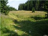 53
53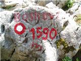 54
54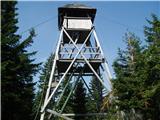 55
55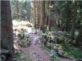 56
56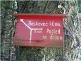 57
57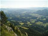 58
58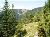 59
59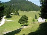 60
60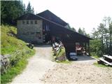 61
61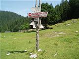 62
62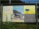 63
63 64
64
Discussion about the trip Žekovec - Boskovec (via Verbučeva planina)
|
| Katarina120627. 12. 2024 21:42:38 |
And who knows and uses this trail? Last time I was looking for it, but I got lost on the unmarked section in the forest and then somehow managed to cross to the classic path towards Mozirska koča
|
|
|
|
| garmont28. 12. 2024 09:58:02 |
Last year I got lost three times while climbing this trail.  
|
|
|
|
| lepenatka28. 12. 2024 16:07:40 |
We went about a month ago and used the "Slovenia outdoor" app.
No problems.
Without it, it would be hard to find with the sparse markings.
|
|
|
|
| Katarina12062. 01. 2025 09:03:11 |
Thanks for the answers, I'll download this app
|
|
|
To post a comment you must log in:
If you do not yet have a username, you must first
register.