Zaliv sv. Jerneja - Ankaran
Starting point: Zaliv sv. Jerneja (4 m)
| Latitude/Longitude: | 45,5909°N 13,7161°E |
| |
Walking time: 45 min
Difficulty: easy marked way
Elevation gain: 14 m
Elevation difference along the route: 70 m
Map: Primorje in Kras 1:50.000
Recommended equipment (summer):
Recommended equipment (winter):
Views: 2.962
 | 1 person like this post |
Access to starting point:
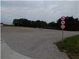
A) We drive to Ankaran, and then we continue driving towards Debeli rtič and the border crossing Lazaret. A few hundred meters before we get to the border crossing Lazaret, on the right we notice a larger macadam parking lot on which we park.
B) Through the border crossing Lazaret we drive to Slovenia, and then after a few hundred meters we park on a larger macadam parking lot.
Route description:
From the parking lot, we continue by the main road towards Ankaran, when we get to the crossroad where the road towards the health resort Zdravilišče Debeli rtič branches off to the right, we continue between a vineyard on the left and a road on the right. At the mentioned crossroad trail markers also appear, we ascend among the vineyards to the panoramic hill Gažel, where a few antennas stand, and from the viewpoint a nice view opens up on the gulfs of Koper and Trieste. For a short time we still walk on a macadam path, then at the first houses we reach an asphalt road, on which we gradually descend. In a few minutes we descend to the main road, which we reach at the Orthopedic Hospital Valdoltra. Further on, we walk on the sidewalk, when we get to Ankaran from the roundabout we continue to the nearby parking lot, and by the edge of the parking lot on the left side there is Korta bar, where you can get the SPP stamp for Ankaran.
Description and pictures refer to the condition in 2018 (July).

Along the route: Gažel (71m)
Photos:
 1
1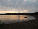 2
2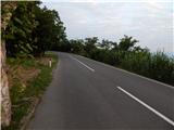 3
3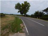 4
4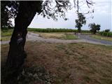 5
5 6
6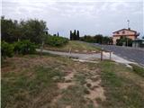 7
7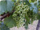 8
8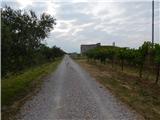 9
9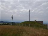 10
10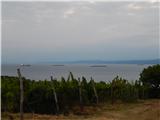 11
11 12
12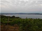 13
13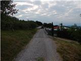 14
14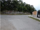 15
15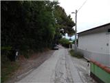 16
16 17
17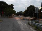 18
18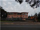 19
19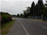 20
20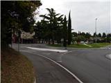 21
21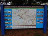 22
22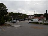 23
23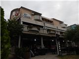 24
24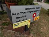 25
25
Discussion about the trip Zaliv sv. Jerneja - Ankaran
To post a comment you must log in:
If you do not yet have a username, you must first
register.