Zali Log - Žagarjev hlev in Groblje
Starting point: Zali Log (522 m)
| Latitude/Longitude: | 46,2068°N 14,1029°E |
| |
Walking time: 1 h 20 min
Difficulty: easy marked way
Elevation gain: 513 m
Elevation difference along the route: 513 m
Map: Škofjeloško in Cerkljansko hribovje 1:50.000
Recommended equipment (summer):
Recommended equipment (winter): ice axe, crampons
Views: 3.803
 | 1 person like this post |
Access to starting point:
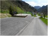
First, we drive to Škofja Loka, and then we continue driving towards Železniki and forward towards Zali Log. Immediately after the sign Zali Log we continue right and then we park by the sports field of sports club Senca Zali Log.
Route description:
From the parking lot at the sports field we continue on the road which past NOB monument and church of Holy Mary brings us to a stream Pruharca, by which we are then ascending. Higher, the road ends, and marked path turns right uphill, where it starts ascending on a panoramic grassy slope. Well-maintained path then passes into the forest, and it first leads past old military bunkers. A relatively steep path higher crosses a wide cart track and is then still steeply ascending through the forest. Well-maintained path, by which on every 100 altitude meters we notice wooden sign with altitude, higher brings us to Žagarjev hlev v Grobljah, in which is an inscription box.
Photos:
 1
1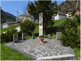 2
2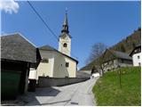 3
3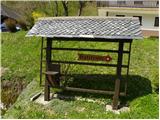 4
4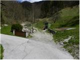 5
5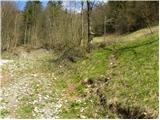 6
6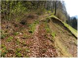 7
7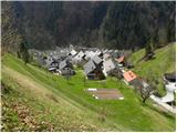 8
8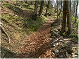 9
9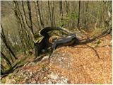 10
10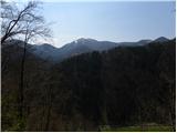 11
11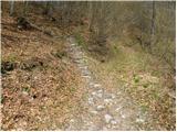 12
12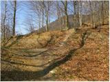 13
13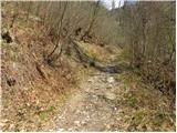 14
14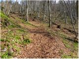 15
15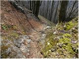 16
16 17
17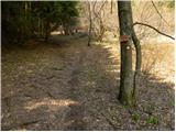 18
18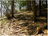 19
19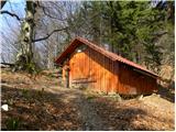 20
20
Discussion about the trip Zali Log - Žagarjev hlev in Groblje
To post a comment you must log in:
If you do not yet have a username, you must first
register.