Zagrad - Tolsti vrh above Celjska koča (Po vrheh)
Starting point: Zagrad (240 m)
| Latitude/Longitude: | 46,2117°N 15,2626°E |
| |
Route name: Po vrheh
Walking time: 1 h 40 min
Difficulty: easy marked way
Elevation gain: 594 m
Elevation difference along the route: 600 m
Map:
Recommended equipment (summer):
Recommended equipment (winter):
Views: 7.777
 | 2 people like this post |
Access to starting point:
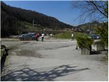
From the highway Ljubljana - Maribor, we take the exit Celje - center and continue driving in the direction of Laško and Zidani Most. The road leads through the center of Celje, then brings us to a roundabout with a fountain. Here we continue "straight" (direction Laško and Zidani Most) and follow the road to the next traffic-light intersection, where we continue left, drive over the river Savinja and then at the intersection behind the bridge continue right. Further, we come to the underpass under the railway track and only a few meters ahead to the fire station in Zagrad, near which we park on a larger macadam parking lot.
To the starting point we can also come from Dolenjska and Zasavje. In this case, first we drive to Rimske Toplice and then through Laško to the starting point.
Route description:
On the eastern side of the parking lot, we notice the blazes, which direct us onto the path that first ascends among houses, then crosses an asphalt road. Further, we ascend only briefly through the forest and then join the previously mentioned road. The road, which further gently to moderately ascends, leads us over a panoramic grassy slope, from which a nice view opens up. Higher, the road ends, and we continue on a wide and well-maintained mountain path, which leads us through an indistinct valley. Higher, we step onto a macadam road and follow it, except for some shortcuts, to a marked junction at which a sign is located.
We continue straight on the well-maintained path (left Grmada steep path), which higher rejoins the macadam road. The road then slightly descends and past the Trobiš beech tree brings us to a smaller intersection, where we continue slightly left on an ascending cart track. A wide cart track, from which soon to the left branches the path to Pečovniška koča, higher changes into a macadam road, which we then follow all the way to Celjska koča.
From Celjska koča we continue to the right (western) side of the local ski slope, then direct ourselves onto the footpath in the direction of Tolsti vrh. The path leads us along the mushroom educational trail, which we follow for approximately 20 minutes or to the spot where we reach a marked junction, where the path from Laško joins us. We continue left and continue the ascent in the direction of Tolsti vrh on the path which soon brings us to the upper part of the ski slope Celjska koča. We continue on the marked path, which after a shorter steep ascent brings us to a pleasant vantage point with a bench.
We continue through the forest and after a good minute of further walking we step onto the forested Tolsti vrh.

Photos:
 1
1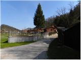 2
2 3
3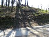 4
4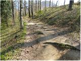 5
5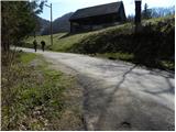 6
6 7
7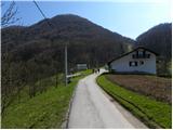 8
8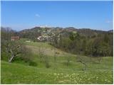 9
9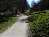 10
10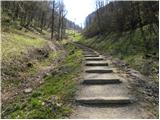 11
11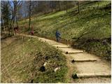 12
12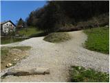 13
13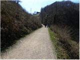 14
14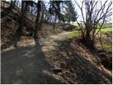 15
15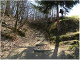 16
16 17
17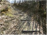 18
18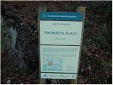 19
19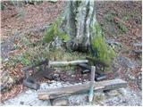 20
20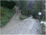 21
21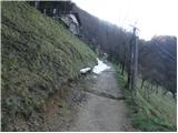 22
22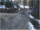 23
23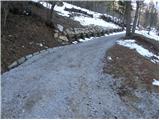 24
24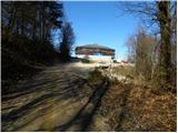 25
25 26
26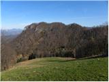 27
27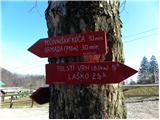 28
28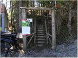 29
29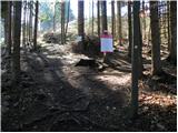 30
30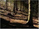 31
31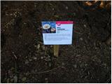 32
32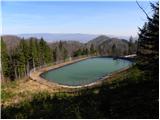 33
33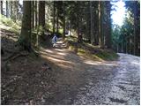 34
34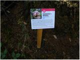 35
35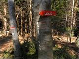 36
36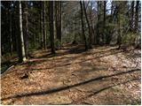 37
37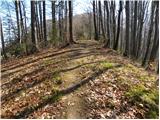 38
38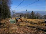 39
39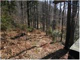 40
40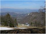 41
41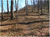 42
42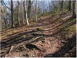 43
43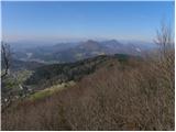 44
44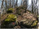 45
45 46
46
Discussion about the trip Zagrad - Tolsti vrh above Celjska koča (Po vrheh)
|
| Aerys1. 10. 2016 |
Žiga is no more. Despite it being fixed, someone managed to knock off the top and only the stand remains.
|
|
|
|
| gregorjaunik23. 05. 2017 |
The path hiked on 21.5.2017 with children and it's great. There's a stamp at the summit (which was missing in the past). But I have to scold the markers a bit, as the path is well marked from the start, but then at some junctions there aren't any (true it's very known to locals, but if you come from elsewhere you get a bit lost).
Otherwise a great hike for family and everyone else.
|
|
|
To post a comment you must log in:
If you do not yet have a username, you must first
register.