Slovenji Plajberk / Windisch Bleiberg - Singerberg / Žingarica
Starting point: Slovenji Plajberk / Windisch Bleiberg (948 m)
| Latitude/Longitude: | 46,4904°N 14,2386°E |
| |
Walking time: 2 h
Difficulty: easy marked way
Elevation gain: 641 m
Elevation difference along the route: 660 m
Map: Karavanke - osrednji del 1:50.000
Recommended equipment (summer):
Recommended equipment (winter): ice axe, crampons
Views: 6.316
 | 2 people like this post |
Access to starting point:
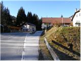
We drive to the border crossing Ljubelj and further on the Austrian side. Soon after noticing a smaller church on the left side of the road, a road branches off to the left towards the village Poden / Bodental. We follow this road to one of the smaller parking lots near the church in the village Slovenji Plajberk / Windisch Bleiberg.
Route description:
Along the main road near the church we will notice a signpost, which directs us to the path that leads along the stream (left of the church) through a meadow and past a few houses. At the end of the meadow the blazes then direct us right into the forest. Already after a few minutes of walking through the forest we come to a crossroads, where we go right following the signs Singerberg. Left runs the path to the saddle Halbingsattel. The path then continues through the forest and crosses a mountain road a few times. A little below the ridge we come again to the road, where from the left the path over the saddle Halbingsattel joins.
We go straight into the forest following the signs Singerberg and already after a few meters of walking we come to the ridge where we go right. A short descent follows, then we join the cart track which comes from the north side of the mountain. From here we have only a short ascent to the top of Žingarica / Singerberg.
Photos:
 1
1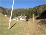 2
2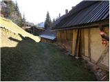 3
3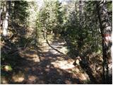 4
4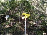 5
5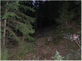 6
6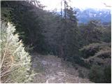 7
7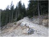 8
8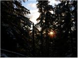 9
9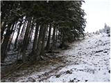 10
10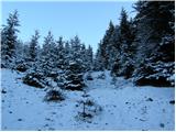 11
11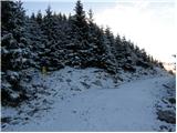 12
12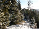 13
13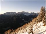 14
14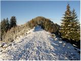 15
15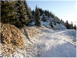 16
16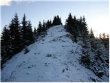 17
17 18
18
Discussion about the trip Slovenji Plajberk / Windisch Bleiberg - Singerberg / Žingarica
To post a comment you must log in:
If you do not yet have a username, you must first
register.