Weißenbach - Dachsteinblick
Starting point: Weißenbach (470 m)
| Latitude/Longitude: | 47,8001°N 13,5401°E |
| |
Walking time: 3 h
Difficulty: difficult marked way
Elevation gain: 1089 m
Elevation difference along the route: 1089 m
Map:
Recommended equipment (summer):
Recommended equipment (winter): ice axe, crampons
Views: 535
 | 1 person like this post |
Access to starting point:
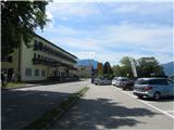
Through the Karawanks Tunnel, we drive into Austria and continue on the Tauern motorway past Salzburg. We leave the motorway at the exit for Mondsee, which we bypass along the eastern shore. We continue in the direction of Attersee, where we immediately turn right and follow the road along the south and then eastern shore of the lake to the town Weißenbach am Attersee. We park on one of the designated parking lots by the main road or the road which branches off towards Bad Ischl.
Route description:
In Weißenbach there are several very well-marked beginnings of the path to Dachsteinblick - we look for the nearest and go on the path. Paths join at the chapel of St. Nicholas, where the ascent starts. The path ascends in zig-zags through the forest; right before we leave the forest, the path flattens for a short time. Then it continues the zig-zag ascent, on part of the path we get help from steel cables. The signpost on the saddle directs us right back into the forest. We ascend in zig-zags to the next signpost right below Mahdlgupf, where we continue right again. We continue the ascent through the forest. There follows a steep ascent up the scree slope to the ridge, then only a gentle ascent to Dachsteinblick.
The entire path is very well marked.
Photos:
 1
1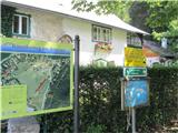 2
2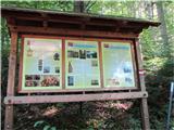 3
3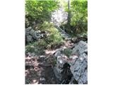 4
4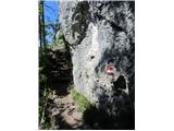 5
5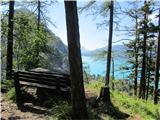 6
6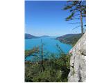 7
7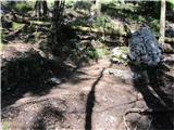 8
8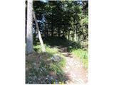 9
9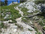 10
10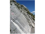 11
11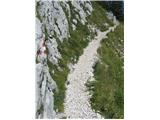 12
12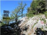 13
13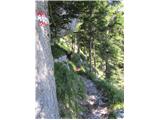 14
14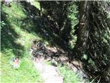 15
15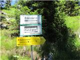 16
16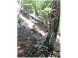 17
17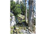 18
18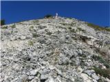 19
19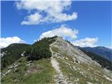 20
20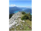 21
21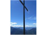 22
22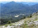 23
23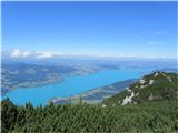 24
24 25
25
Discussion about the trip Weißenbach - Dachsteinblick
To post a comment you must log in:
If you do not yet have a username, you must first
register.