Vodohran Žegnani studenec - Vaško
Starting point: Vodohran Žegnani studenec (638 m)
| Latitude/Longitude: | 46,3623°N 14,284°E |
| |
Walking time: 1 h 5 min
Difficulty: easy unmarked way
Elevation gain: 408 m
Elevation difference along the route: 408 m
Map: Karavanke - osrednji del 1:50.000
Recommended equipment (summer):
Recommended equipment (winter): ice axe, crampons
Views: 461
 | 2 people like this post |
Access to starting point:
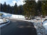
We leave the Gorenjska motorway at the Podtabor junction, then continue driving towards Tržič, Ljubelj and Celovec. Before the petrol station in Bistrica pri Tržiču we leave the main road, then at the crossroads follow the signs for Begunje na Gorenjskem. When Bistrica pri Tržiču ends, soon a road towards the church of St. Jurij branches off sharply to the right (at the crossroads there are also signs for Vila Bistrica), but we continue on the main road to the nearby left bend, where before the water catchment Žegnani studenec and before the little bridge we turn right, then park at a suitable spot.
Route description:
From the starting point, we continue on a cart track which starts ascending beside the Blajšnica stream. The cart track on which we ascend has several forks higher up, on all of them we continue straight ahead, where the path leads us past numerous water catchments. Higher up, we reach the macadam road which leads from Brezij pri Tržiču towards Bistriška planina, we follow it to the right, but walk on it only for a short time. On the section where the road widens and where they occasionally store some logs, an unmarked path branches off to the left from the road, on which we continue. This is followed by an ascent through the forest; when the path turns slightly to the right we also pass an older trough, after which we briefly arrive in a small valley where we pass interesting conglomerate rocks, then we reach a side macadam road which we follow to the left. The road soon splits into two wider cart tracks, we continue on the right one, which starts to ascend. After a short ascent the cart track turns right and starts to ascend diagonally. After the bend we go sharply left from the wider cart track onto a somewhat narrower one, to which some 10 steps further on another track joins from the left, which branched off from the wider cart track at the right bend.
This is followed by a few minutes of diagonal ascent; when we reach the southeastern ridge of Dobrča, we go right and ascend on a beaten path to Vaško in a few minutes, one of the peaks of Dobrča.
The description refers to the situation in February 2018 and May 2020.

Photos:
 1
1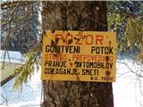 2
2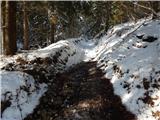 3
3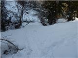 4
4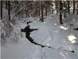 5
5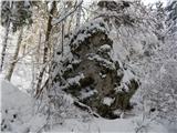 6
6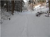 7
7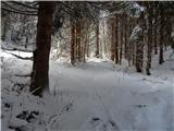 8
8 9
9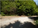 10
10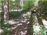 11
11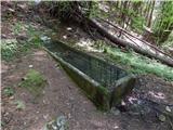 12
12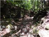 13
13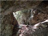 14
14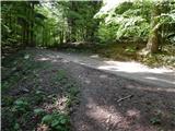 15
15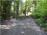 16
16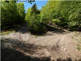 17
17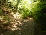 18
18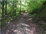 19
19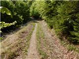 20
20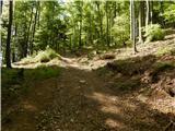 21
21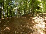 22
22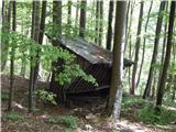 23
23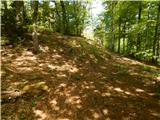 24
24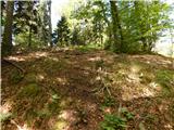 25
25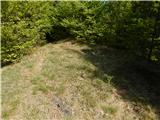 26
26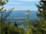 27
27 28
28
Discussion about the trip Vodohran Žegnani studenec - Vaško
To post a comment you must log in:
If you do not yet have a username, you must first
register.