Starting point: Vrtovin (360 m)
| Latitude/Longitude: | 45,9099°N 13,8204°E |
| |
Walking time: 1 h 45 min
Difficulty: easy marked way
Elevation gain: 470 m
Elevation difference along the route: 470 m
Map: Goriška 1:50.000
Recommended equipment (summer):
Recommended equipment (winter): ice axe, crampons
Views: 3.825
 | 1 person like this post |
Access to starting point:
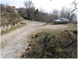
A) From the Razdrto - Nova Gorica highway, we take the Ajdovščina exit, then at the crossroads we turn left in the direction of Nova Gorica. Further, we drive on the regional road towards Nova Gorica to the settlement Vrtovin, there in the middle of the village we turn right in the direction of Čavna. The road, which then ascends through the village, we follow at the crossroads in the direction of St. Pavel, Kuclja and Čavna. We park on a smaller parking lot at the end of the village, near the mountain signposts.
B) From the Nova Gorica - Razdrto highway, we take the Selo exit, then, when we drive onto the old Nova Gorica - Ajdovščina road, we continue right towards Nova Gorica. On the regional road towards Ajdovščina, we drive to the settlement Vrtovin, there in the middle of the village we turn left in the direction of Čavna. The road, which then ascends through the village, we follow at the crossroads in the direction of St. Pavel, Kuclja and Čavna. We park on a smaller parking lot at the end of the village, near the mountain signposts.
Route description:
From the parking lot, we continue on the left road in the direction of Kuclja and St. Pavel. After a few minutes of walking, the road brings us to a path junction, where the mountain path to Kucelj and Čaven branches off to the right upward (straight ahead still on the road St. Pavel). We continue the ascent on a marked, partly rocky cart track which ascends through an occasionally thin forest. A little higher we arrive at a marked junction, where we continue slightly right in the direction of Mala gora and Čavna (slightly left Kucelj). Old, partly eroded cart track continues transversely ascending towards the right, and higher it changes into a somewhat steeper footpath, which after some time crosses a forest road. We continue in the direction of Čavna and only a little further we cross a larger clearing, from which a nice view towards Kuclj opens up. On the other side of the clearing the path returns into the forest and further ascends transversely on a wide cart track. Higher another cart track towards the village Kamnje branches off to the right downwards, and we continue in the same direction as we walked until now and in a few minutes of additional walking we arrive at the hunting cottage or bivouac Črna peč.

Photos:
 1
1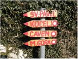 2
2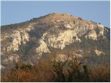 3
3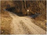 4
4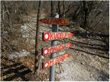 5
5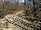 6
6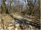 7
7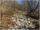 8
8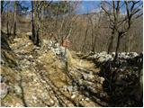 9
9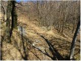 10
10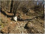 11
11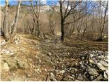 12
12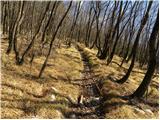 13
13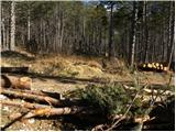 14
14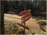 15
15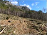 16
16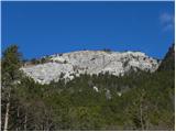 17
17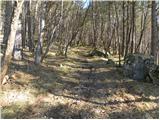 18
18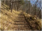 19
19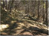 20
20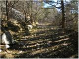 21
21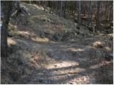 22
22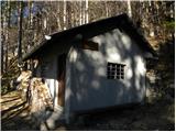 23
23
Discussion about the trip Vrtovin - Bivak Črna peč
To post a comment you must log in:
If you do not yet have a username, you must first
register.