Starting point: Vršič (1611 m)
| Latitude/Longitude: | 46,4336°N 13,7435°E |
| |
Walking time: 30 min
Difficulty: easy marked way
Elevation gain: 126 m
Elevation difference along the route: 126 m
Map: TNP 1:50.000
Recommended equipment (summer):
Recommended equipment (winter):
Views: 25.818
 | 2 people like this post |
Access to starting point:
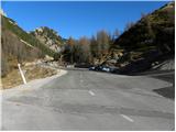
From Kranjska Gora we drive towards Bovec or vice versa, but only as far as the Vršič pass, where we park.
Route description:
From the parking lot we head onto the road towards Trenta and at the end of the parking lot we reach a small junction, where we continue left onto a side road that after a short ascent takes us to Tičarjev dom na Vršiču.
From Tičarjev dom we continue along the gravel road marked for Poštarski dom and begin a moderate ascent across scenic slopes. While viewing the surrounding peaks we quickly reach a marked junction.
Here we continue straight (right: Sovna glava, Prisank, Razor...) on the road from which we get a nice view of Ajdovska deklica. The road then turns quite sharply left and after a few minutes of further walking brings us to Poštarski dom na Vršiču.
Next to Poštarski dom we notice the signs for Vršič which direct us slightly right onto a clearly visible path that gradually enters a belt of dwarf pines. Here the path begins to ascend more steeply and after a few minutes of climbing across a slope partly overgrown with dwarf pines leads us to the 1737 m high summit.
Vršič - junction below Bavha 0:15, junction below Bavha - Poštarski dom 0:05, Poštarski dom - Vršič 0:10.

Photos:
 1
1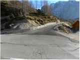 2
2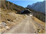 3
3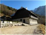 4
4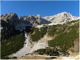 5
5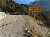 6
6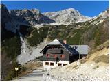 7
7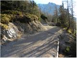 8
8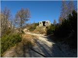 9
9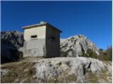 10
10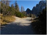 11
11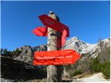 12
12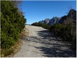 13
13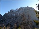 14
14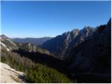 15
15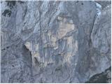 16
16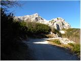 17
17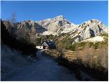 18
18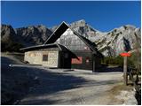 19
19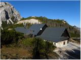 20
20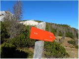 21
21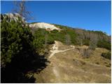 22
22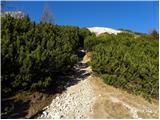 23
23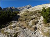 24
24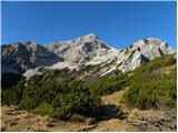 25
25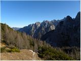 26
26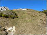 27
27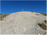 28
28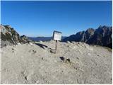 29
29 30
30
Discussion about the trip Vršič - Vršič vrh
|
| G343. 12. 2022 14:25:47 |
Can you see Ajdovsko deklico from the top?
|
|
|
To post a comment you must log in:
If you do not yet have a username, you must first
register.