Starting point: Vrbovo (420 m)
| Latitude/Longitude: | 45,5539°N 14,273°E |
| |
Walking time: 1 h
Difficulty: easy unmarked way
Elevation gain: 379 m
Elevation difference along the route: 379 m
Map: Snežnik 1:50.000
Recommended equipment (summer):
Recommended equipment (winter):
Views: 4.309
 | 1 person like this post |
Access to starting point:
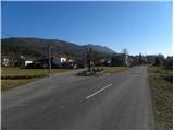
From the highway Ljubljana - Koper we go to the exit Postojna and follow the road ahead in the direction of Reka and Ilirska Bistrica. At the end of Ilirska Bistrica we turn left towards the villages Jasen, Vrbovo, Vrbica, Jablanica and Trpčane. Further, we drive past the village Jasen to the beginning of the settlement Vrbovo, where we turn left on a parallel local road. In the village there are no appropriate parking spaces.
Route description:
We continue through the village and go past the fire station to a crossroad at the house with house number 37. Here we continue left and further ascend on the left side of a smaller stream. After a short ascent we arrive at a crossroad, where the road towards the nearby church branches off to the right; we continue left here and start to ascend diagonally on at first still asphalt road. Above the village the asphalt ends, and we continue on the road, from which beautiful views open up towards the valley of the river Reka and Brkini for some time. Higher, the road starts to turn more and more to the right and brings us to an unmarked crossroad by which there is a wooden cross. From the cross we continue on the left upper road, which passes into the forest through which it then ascends diagonally. The path ahead leads us past a quarry as well, after which we arrive at the next cross, where the marked path from Kozlek joins us.
Here we continue sharply left towards the east on at first rougher cart track. The path continues for some time on a gradually steeper and steeper cart track, then turns slightly to the right and changes into a steep footpath. There follows a few minutes of relatively steep ascent through the forest and the path brings us to the summit of Ahac.

Photos:
 1
1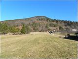 2
2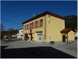 3
3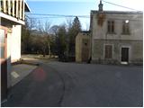 4
4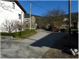 5
5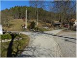 6
6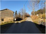 7
7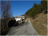 8
8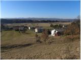 9
9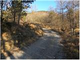 10
10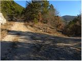 11
11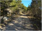 12
12 13
13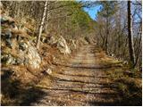 14
14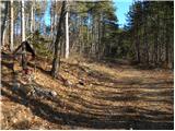 15
15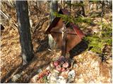 16
16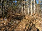 17
17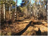 18
18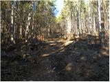 19
19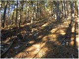 20
20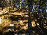 21
21 22
22 23
23
Discussion about the trip Vrbovo - Ahac
|
| bizgo933. 05. 2021 21:10:55 |
Nice short trip with some nice views of part of the Reka valley and Kozlek and surrounding peaks.
The path rises quite steeply about 500 m below the summit (I'd say up to 40% slope in places), but Ahac from Vrbovo is nevertheless accessible to almost everyone.
|
|
|
To post a comment you must log in:
If you do not yet have a username, you must first
register.