Vipava - Old castle Vipava
Starting point: Vipava (104 m)
| Latitude/Longitude: | 45,84780°N 13,95980°E |
| |
Walking time: 20 min
Difficulty: easy marked way
Elevation gain: 137 m
Elevation difference along the route: 137 m
Map: Nanos 1:50.000
Recommended equipment (summer):
Recommended equipment (winter):
Views: 10.122
 | 1 person like this post |
Access to starting point:
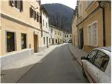
From Razdrto we drive on the highway towards Nova Gorica or vice versa and we go to the exit Vipava. We follow the road ahead towards Vipava, where, in the center of it, we park near the church.
Route description:
From the church, we continue on the road towards the southeast and then we go on an asphalt road following the signs »Nanos, Grad«. The road which is marked with blazes starts ascending past houses and then brings us to the end of an asphalt road. Here we go right on a footpath which at first leads by the fence, and then turns left in the forest. After a short ascent through the forest we get to an unmarked crossing, where we go left and to the castle, which we already see in front of us, we have only a few minutes of walking.
Photos:
 1
1 2
2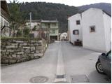 3
3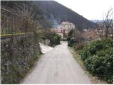 4
4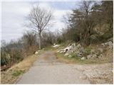 5
5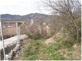 6
6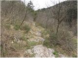 7
7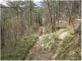 8
8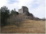 9
9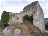 10
10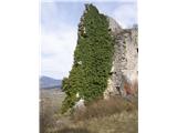 11
11 12
12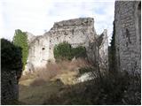 13
13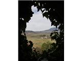 14
14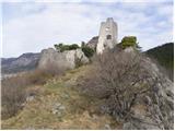 15
15
Discussion about the trip Vipava - Old castle Vipava
To post a comment you must log in:
If you do not yet have a username, you must first
register.