Vikrče - Grmada (learning trail)
Starting point: Vikrče (320 m)
| Latitude/Longitude: | 46,1285°N 14,4446°E |
| |
Route name: learning trail
Walking time: 1 h 20 min
Difficulty: easy marked way
Elevation gain: 356 m
Elevation difference along the route: 375 m
Map: Ljubljana - okolica 1:50.000
Recommended equipment (summer):
Recommended equipment (winter): crampons
Views: 3.439
 | 1 person like this post |
Access to starting point:
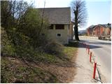
A) From highway Ljubljana - Jesenice we go to the exit Ljubljana - Šmartno, and then we continue driving towards Tacen. In Tacen just before the road over a bridge crosses the river Sava we continue slightly right in the direction of Pirniče. Only a little after Ljubljana ends, we get to Vikrče, and we follow the road to the inn Kovač, which is located right next to a bus stop. At the starting point, there aren't any appropriate parking spots.
B) From Šentvid we drive to Tacen, there immediately after the bridge over the river Sava, left towards Pirniče. Only a little after Ljubljana ends, we get to Vikrče, and we follow the road to the inn Kovač, which is located right next to a bus stop. At the starting point, there aren't any appropriate parking spots.
C) From Medvode we drive to Zgornje and then to Spodnje Pirniče, and we follow the road towards Tacen. When we get to Vikrče, we join the road which leads from Smlednik towards Tacen, and here we continue right and follow the road to the nearby inn Kovač, where the starting point of our path is. At the starting point, there aren't any appropriate parking spots.
D) To the starting point, we can also arrive by LPP bus number 15.
Route description:
Behind inn Kovač we continue right into the forest, where we immediately get to a crossing of two marked paths. We choose the left path with signs Kovačeva steza (slightly right Westrova pot), and it starts ascending diagonally towards the left. After a short ascent, we get to the next crossing, where we continue on the left lower path in the direction of učna pot (slightly right Kovačeva steza). A little further, we join the cart track which we follow to the left, we walk along it to the water reservoir. Immediately after the water reservoir we continue right into the forest (if we continue straight we descend to Spodnje Pirniče) through which we start at first only gently ascending. Further, the path leads us past the abandoned quarry, and only a little further we join a better-trodden path from club Lipa.
The path continues through the forest, through which it gradually starts ascending more steeply. For some time we ascend steeply, and then the path flattens and brings us to the spot where we join the relatively steep road which leads from Zavrh towards Šmarna gora.
We continue the ascent on the road which further leads past the NOB monument and a few meters ahead also past the plague or Turkish column. Higher, the road turns a little more to the left and brings us out of the forest onto panoramic slopes. With a view of the summit of Šmarna gora and the Kamniško Savinja Alps we quickly get to the homestead Gorjanc, from which follows a short walk to the marked crossing Na Sedlu.
From the saddle, we continue right downhill in the direction of Tacen (left Šmarna gora), when the path enters the forest we continue right in the direction of Grmada. We continue the ascent on a somewhat steeper path, which first ascends through the forest and then passes onto a partly panoramic ridge, along which in a few dozen steps of further walking we ascend to the summit of Grmada.

Along the route: Na Sedlu (580m)
The trip can be extended to the following destinations: Šmarna gora
Photos:
 1
1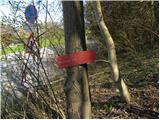 2
2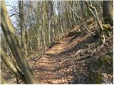 3
3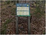 4
4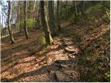 5
5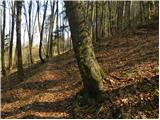 6
6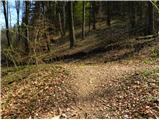 7
7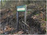 8
8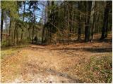 9
9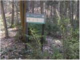 10
10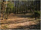 11
11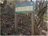 12
12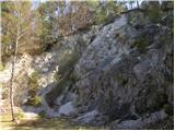 13
13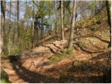 14
14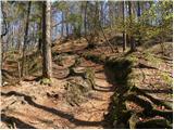 15
15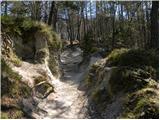 16
16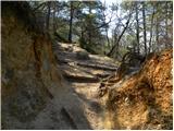 17
17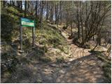 18
18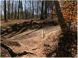 19
19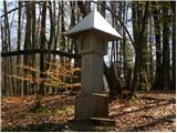 20
20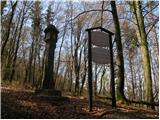 21
21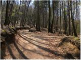 22
22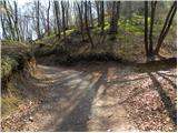 23
23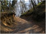 24
24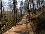 25
25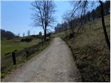 26
26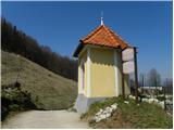 27
27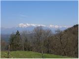 28
28 29
29 30
30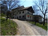 31
31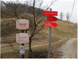 32
32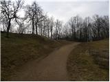 33
33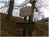 34
34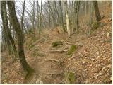 35
35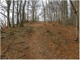 36
36 37
37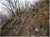 38
38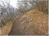 39
39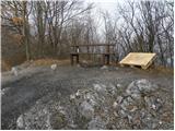 40
40 41
41 42
42
Discussion about the trip Vikrče - Grmada (learning trail)
To post a comment you must log in:
If you do not yet have a username, you must first
register.