Veržej - Babič mill on Mur
Starting point: Veržej (183 m)
| Latitude/Longitude: | 46,5808°N 16,1627°E |
| |
Walking time: 20 min
Difficulty: easy marked way
Elevation gain: -1 m
Elevation difference along the route: 3 m
Map:
Recommended equipment (summer):
Recommended equipment (winter):
Views: 1.440
 | 1 person like this post |
Access to starting point:
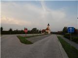
A) We leave the Pomurska highway at the Vučja vas exit, and then we follow the signs for Ljutomer. Towards Ljutomer we drive to the settlement Križevci, where from the roundabout we take the exit Banovci, Veržej. When we get to Veržej, from the roundabout at Mercator Narcisa store we take the last exit in the direction of Bunčani. Only a little after the roundabout a road to the parking lot of the mentioned store branches off to the left, and only a few meters ahead we turn left onto the road which brings us to a larger parking lot by the cemetery and the parish church in Veržej.
B) First, we drive to Ljutomer, and then we follow the signs for Murska Sobota. When we get to Veržej, from the roundabout at Mercator Narcisa store we take the last exit in the direction of Bunčani. Only a little after the roundabout a road to the parking lot of the mentioned store branches off to the left, and only a few meters ahead we turn left onto the road which brings us to a larger parking lot by the cemetery and the parish church in Veržej.
Route description:
From the end of the parking lot, we continue right on an asphalt path and for a short time on or by an asphalt road. When some 10 meters further we get to an intersection with the main road, we carefully cross it at the pedestrian crossing, and then we continue past the memorial park of Slavko Osterc. A little ahead we reach another road, by which we notice the markings of the Pomurje mountain trail. Further, we walk among houses, at the crossroads we continue straight and follow the signs for the mill on the Mura. When the settlement Veržej ends we ascend to the flood embankment, and then after a short descent we reach the football field of the football club Veržej. We bypass the field on the right side, after that only a short walk to the nearby Babičev mill on the Mura remains.
Description and pictures refer to the condition in the year 2017 (August).
Photos:
 1
1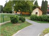 2
2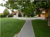 3
3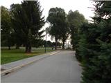 4
4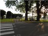 5
5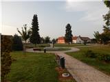 6
6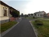 7
7 8
8 9
9 10
10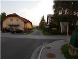 11
11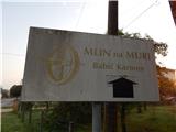 12
12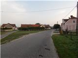 13
13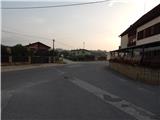 14
14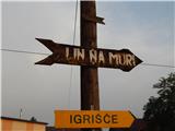 15
15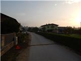 16
16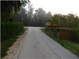 17
17 18
18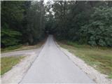 19
19 20
20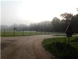 21
21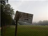 22
22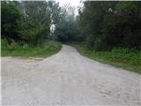 23
23 24
24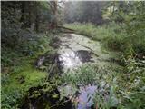 25
25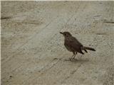 26
26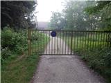 27
27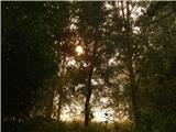 28
28 29
29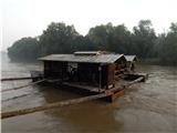 30
30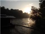 31
31
Discussion about the trip Veržej - Babič mill on Mur
To post a comment you must log in:
If you do not yet have a username, you must first
register.