Veliki Erjavec - Vodenica
Starting point: Veliki Erjavec (355 m)
| Latitude/Longitude: | 45,579°N 15,42705°E |
| |
Walking time: 45 min
Difficulty: easy marked way
Elevation gain: 183 m
Elevation difference along the route: 183 m
Map:
Recommended equipment (summer):
Recommended equipment (winter):
Views: 120
 | 1 person like this post |
Access to starting point:
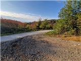
a) Drive to Metlika, where we cross the border at Metlika - Jurovski Brod into Croatia. Drive to the village of Ribnik, where we turn left towards Jaškovo, Martinski Vrh and Novaki Lipnićki. Drive along a narrow road through Martinski vrh. The road begins to descend slightly through the forest to an unmarked junction, where we turn sharply left. Soon we see the first sign for Vodenica, but as there is no parking space here, we continue to the bend, where there is some parking space at the junction.
b) Exit the Rijeka - Zagreb motorway at the Novigrad exit and continue right towards Netretić and Novo mesto. Drive through Veliki Modruš Potok to the village of Ribnik, where we turn right towards Jaškovo, Martinski Vrh and Novaki Lipnićki. Drive along a narrow road through Martinski vrh. The road begins to descend slightly through the forest to an unmarked junction, where we turn sharply left. Soon we see the first sign for Vodenica, but as there is no parking space here, we continue to the bend, where there is some parking space at the junction.
Route description:
We head onto the forest road, which first ascends through a belt of low shrubbery, then enters the forest. After a few minutes we reach a junction, where we continue straight onto the cart track. Soon a marked path joins almost imperceptibly from the left. Up to here the path is unmarked. We continue on the cart track, which gently ascends through the forest. Then we arrive at a large clearing on the southern slopes of the nearby Stražnji vrh. The clearing is being overgrown with the help of artificial afforestation. We walk along the edge of the clearing for about 10 minutes, then the path turns right uphill into the forest and after a short ascent we are at a marked junction, where we turn left. To the right is Klanjac. The cart track further on is less trodden and ascends unevenly through the forest to another large clearing. We cross the clearing in about 5 minutes, being careful of thorns in between. From the top of the clearing, which is also being afforested, we have some view to the south. The path returns to the forest and soon a path from Dolinsko selo or Ozalja joins from the right. After a few minutes of gentle ascent we reach Vodenica, where a few benches and a logbook box await us.
Description and photos refer to the condition in October 2025.

Photos:
 1
1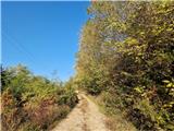 2
2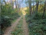 3
3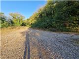 4
4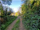 5
5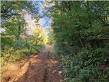 6
6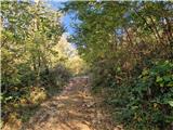 7
7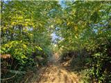 8
8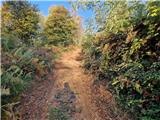 9
9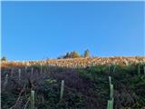 10
10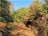 11
11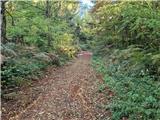 12
12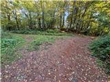 13
13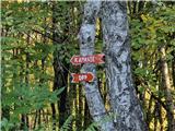 14
14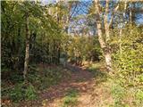 15
15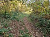 16
16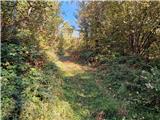 17
17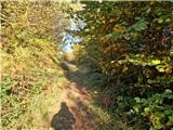 18
18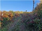 19
19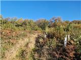 20
20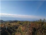 21
21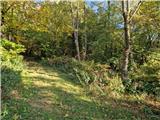 22
22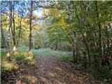 23
23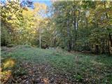 24
24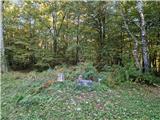 25
25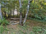 26
26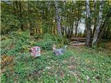 27
27
Discussion about the trip Veliki Erjavec - Vodenica
To post a comment you must log in:
If you do not yet have a username, you must first
register.