Ovčja vas / Valbruna - Planina Ravna
Starting point: Ovčja vas / Valbruna (807 m)
| Latitude/Longitude: | 46,4859°N 13,4895°E |
| |
Walking time: 2 h
Difficulty: easy marked way
Elevation gain: 708 m
Elevation difference along the route: 708 m
Map: Julijske Alpe - zahodni del 1:50.000
Recommended equipment (summer):
Recommended equipment (winter): ice axe, crampons
Views: 5.674
 | 1 person like this post |
Access to starting point:
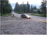
Through the border crossings Rateče or Predel we drive to Trbiž / Tarvisio, then we continue driving on the old road towards Videm / Udine. Soon we notice signs "Valbruna", which direct us left onto a local road, along which past the old cableway to Višarje we arrive at Ovčja vas / Valbruna. At the intersection, where we join the road from the village Ukve / Ugovizza, we continue left and drive only another few hundred meters or to the spot where we notice signs for the chapel Zita / Cappella Zita. We park at a suitable place near the mountain direction signs.
Route description:
From the parking lot, we head onto a rougher road in the direction of "Malga Rauna, Cap. Zita" (path 607). The road first ascends gently, then starts to climb steeper in numerous zigzags. Higher up, we can notice a beautiful waterfall on the left side of the road, which flattens out here and a little further brings us to Koroški kot. A little further, the road turns to the right, but the markers direct us slightly left onto a steep footpath, which higher up crosses the mentioned road several more times. The marked path higher up continues again along the road, which we follow all the way to Planina Ravna, on which stands a smaller bivouac. From the bivouac, we continue on the marked path, along which in a few dozen steps of further walking we arrive at the chapel Zita.
Photos:
 1
1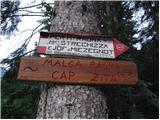 2
2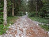 3
3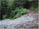 4
4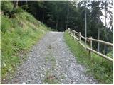 5
5 6
6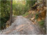 7
7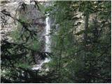 8
8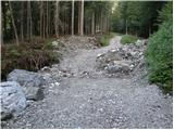 9
9 10
10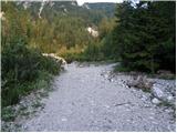 11
11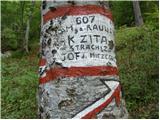 12
12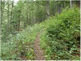 13
13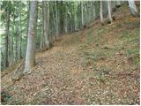 14
14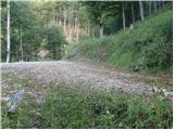 15
15 16
16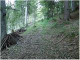 17
17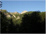 18
18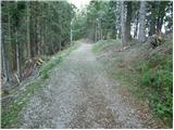 19
19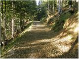 20
20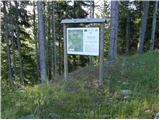 21
21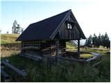 22
22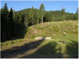 23
23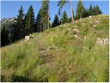 24
24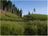 25
25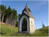 26
26
Discussion about the trip Ovčja vas / Valbruna - Planina Ravna
To post a comment you must log in:
If you do not yet have a username, you must first
register.