Tržič - Sveti Jurij above Tržič
Starting point: Tržič (516 m)
| Latitude/Longitude: | 46,36071°N 14,30582°E |
| |
Walking time: 40 min
Difficulty: easy marked way
Elevation gain: 157 m
Elevation difference along the route: 160 m
Map: Karavanke - osrednji del 1:50.000
Recommended equipment (summer):
Recommended equipment (winter):
Views: 591
 | 2 people like this post |
Access to starting point:
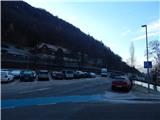
We leave the Gorenjska motorway at the Podtabor junction, and then we follow the signs for Tržič. When we arrive in Tržič before the Pošta Slovenije post office, we turn left in the direction of the Tržič health centre; still before crossing the Tržiška Bistrica river, we turn left again and drive to a larger marked parking lot, where we park.
Route description:
From the parking lot, we return to the road which runs towards the health centre Tržič, and we cross the Tržiška Bistrica river and the Mošenik stream. After Mošenik before the building SGP Tržič we go left and further follow the blazes, which lead us on a narrower asphalt road. The path ahead leads us below the main road which leads towards Ljubelj, and after some time through the underpass we arrive on the other side of the main road, so that we gradually ascend above it.
At the smaller crossroad by the wooden shrine we go slightly right, and the path continues moderately ascending. At the next crossroad we go once again slightly right, and before the last house we go from the road slightly left onto the marked path, which bypasses a few houses on the left side. With nice views we reach another road, along which we continue to the nearby crossroad, where at the cross we go right in the direction of Dobrča.
At the following crossroads we follow the blazes, and we gradually ascend above the last houses, from where a beautiful view opens up. There follows some traversing to the left, then we arrive at the marked junction by a larger chapel.
Behind the chapel, we go left onto a macadam road, along which we ascend to Vila Bistrica, in front of which we turn right and in a few dozen steps of further walking we ascend to the little church of St. Jurij.
Description and pictures refer to the condition in November 2020 and January 2017.

Photos:
 1
1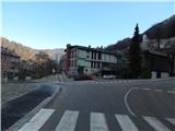 2
2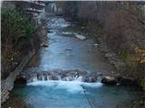 3
3 4
4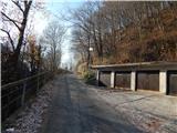 5
5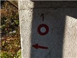 6
6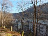 7
7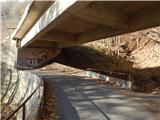 8
8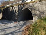 9
9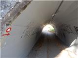 10
10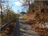 11
11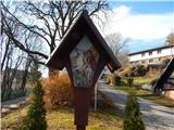 12
12 13
13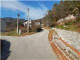 14
14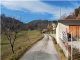 15
15 16
16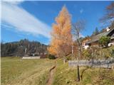 17
17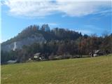 18
18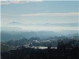 19
19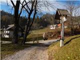 20
20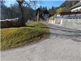 21
21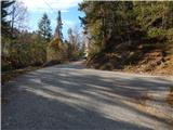 22
22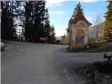 23
23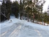 24
24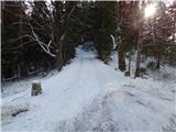 25
25 26
26 27
27 28
28 29
29 30
30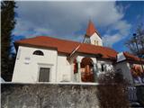 31
31
Discussion about the trip Tržič - Sveti Jurij above Tržič
To post a comment you must log in:
If you do not yet have a username, you must first
register.