Starting point: Trbovlje (299 m)
| Latitude/Longitude: | 46,1638°N 15,0518°E |
| |
Walking time: 2 h 15 min
Difficulty: easy marked way
Elevation gain: 783 m
Elevation difference along the route: 783 m
Map:
Recommended equipment (summer):
Recommended equipment (winter): ice axe, crampons
Views: 353
 | 1 person like this post |
Access to starting point:
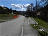
From the regional road Hrastnik - Litija, at the traffic light intersection on the periphery of Trbovlje we turn right, or left if we come from the Ljubljana direction, and we drive to the center of Trbovlje. We continue driving in the direction of Prebold, but we follow the road only to Gornje Trbovlje, where at the traffic light intersection we continue sharply right. Immediately after the intersection, we come to a marked parking lot, where we park.
Route description:
At the end of the parking lot, signs for Mrzlica direct us left onto a slightly narrower and ascending road. We climb it for just a few steps, then notice a mountain path on the left, which bypasses some houses. The path higher returns to the asphalt road, and with a view on Kum and Trbovlje it eventually brings us to a smaller crossroad, where we continue right on a macadam road. We follow the mentioned road only for a few steps, and then blazes direct us left onto a footpath which ascends beside a residential house. Higher, we return to the road, where after a few minutes of further walking we arrive at the next crossroad.
We continue slightly right along the ascending road, which quickly leads us to a larger crossroad, where we proceed left to the chapel. At the chapel, we continue right in the direction of Mrzlica and after a few steps of further walking we enter the village Čeče. The panoramic road soon splits into two parts; the right one leads to the center of the village, while we continue along the left ascending road, soon reaching the "last" house in the village, where the asphalt ends. We continue on a wide cart track which first steeply ascends through the forest and then flattens and crosses a forest road. The path higher joins the mentioned macadam road, which leads us past a memorial marker and higher brings us to a signpost, where we leave it. We continue the ascent on a pleasant and panoramic path, which moderately ascends along the edge of the forest. Higher, we again step on a macadam road, ascend past the NOB monument, and then leave it again. We continue the ascent on the wide path, which first leads across panoramic slopes, then passes into the forest, where after a few minutes of further walking it joins the road Podmeja - Mrzlica.
We continue right and continue the ascent on a steep road in the direction of Mrzlica. Higher, the road levels out and leads us from the forest onto panoramic grassy slopes of Kriška planina, from which a beautiful view opens up on the peaks surrounding Savinjska dolina. Here, paths from starting points in Marija Reka and Prebold via Kriška planina join us from the left, while we continue straight along the road to the next marked junction, where a path via a forest clearing joins from the left, with starting points Marija Reka, Prebold and Matke.
We don’t walk along the road for long, as signs for the Prebold mountain trail soon direct us left onto a path leading toward the summit of Homič (straight along the road to Mrzlica). The path ahead becomes quite steep and leads us along the forested ridge of Homič, whose summit we reach after approximately ten minutes of ascent from the point where we left the road.

Photos:
 1
1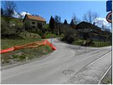 2
2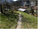 3
3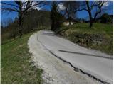 4
4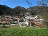 5
5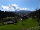 6
6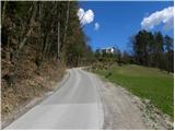 7
7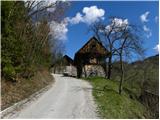 8
8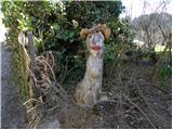 9
9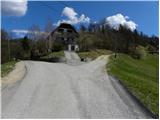 10
10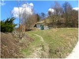 11
11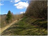 12
12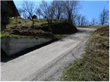 13
13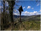 14
14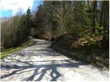 15
15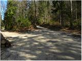 16
16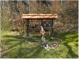 17
17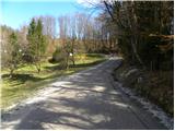 18
18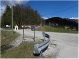 19
19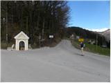 20
20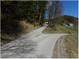 21
21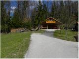 22
22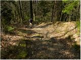 23
23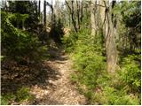 24
24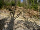 25
25 26
26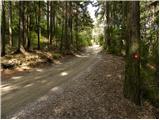 27
27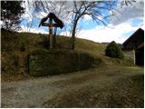 28
28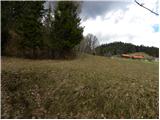 29
29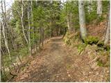 30
30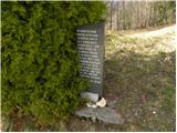 31
31 32
32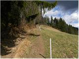 33
33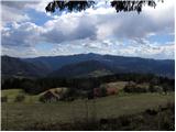 34
34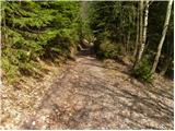 35
35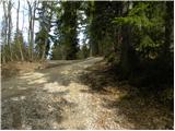 36
36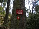 37
37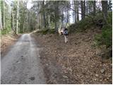 38
38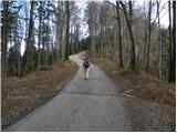 39
39 40
40 41
41 42
42 43
43 44
44 45
45 46
46 47
47 48
48 49
49 50
50 51
51
Discussion about the trip Trbovlje - Homič
|
| geppo27. 04. 2025 08:46:15 |
The path, for which a directional sign would be sufficient for guidance. The steep ridge brings you to the top anyway. Now it's marked with numerous green dots every few meters to the top.
|
|
|
|
| zokipoki28. 04. 2025 06:29:51 |
I went up yesterday via below Mrzlica, past the collapsing hut, and for now nothing is vandalized there. May it stay that way, as the trail is clearly visible.
|
|
|
To post a comment you must log in:
If you do not yet have a username, you must first
register.