Tam na Meji - Monte Zajavor
Starting point: Tam na Meji (850 m)
| Latitude/Longitude: | 46,30698°N 13,35112°E |
| |
Walking time: 3 h
Difficulty: partly demanding marked way
Elevation gain: 965 m
Elevation difference along the route: 980 m
Map: Tabacco 26 1:25.000
Recommended equipment (summer):
Recommended equipment (winter): ice axe, crampons
Views: 506
 | 2 people like this post |
Access to starting point:
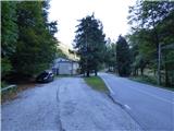
From the road Kobarid – Bovec in the village Žaga we turn towards the border crossing Učja. On the Italian side at the crossroads where the road branches off to the right towards the saddle Karnica and Rezija, we continue left or straight ahead in the direction of the town Videm/Udine. When the road crosses the stream Beli potok / Rio Bianco, we follow it for a few hundred meters, then the road flattens and on the right side we will notice a larger building. On the right, where a short road branches off, we park. We do not park in front of the mentioned private building where it is marked that parking is prohibited. The starting point is located just under a kilometer before the mountain pass Tam na Meji / Passo Tanamea.
Route description:
From the starting point, we continue on the main road for approximately 100 meters, then on the right side we notice signposts for Monte Zajavor, which direct us right and upwards. The path leads us into the forest and begins to ascend quite steeply. Here also runs the route of the Julius Kugy Alpine Trail. The path continues through the forest, so this section still does not offer nice views. Later, the path brings us to the slopes high above the valley of Beli potok stream. Further on, for some time we ascend diagonally parallel to the mentioned valley, then the path leads us to a deep gully that cuts across the slope which we cross. From the edge of the gully, a nice view opens towards the summit of Zajavor. The path turns left and a little higher bypasses the mentioned gully on its upper side. For some time we mostly continue ascending diagonally in a northwesterly direction, then the path leads us out of the forest.
Here the path turns right and crosses the rather narrow and gentle valley of Beli potok stream. The increasingly panoramic path then begins to ascend across a grassy slope towards the saddle Zajavor (Bocchetta di Zaiavor).
At the saddle, our path joins the path coming from the Karnica mountain pass and the church of St. Ana. We continue left and ascend along a grassy ridge. The path here is marked with red dots and runs along the ridge the entire time. Higher up, the path becomes a shade steeper, and some caution is required especially in wet weather. The path is somewhat less worn, but still distinct enough that we can follow it without difficulty. Along such a path we soon reach the panoramic summit, where a cross stands.

Along the route: Bocchetta di Zaiavor (1619m)
Photos:
 1
1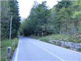 2
2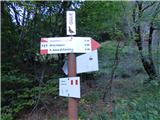 3
3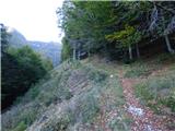 4
4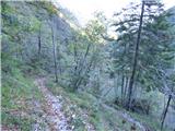 5
5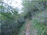 6
6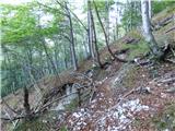 7
7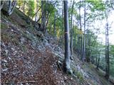 8
8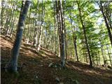 9
9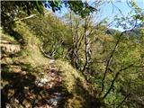 10
10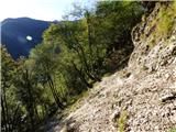 11
11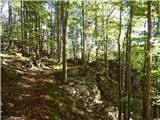 12
12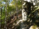 13
13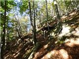 14
14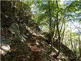 15
15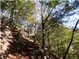 16
16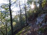 17
17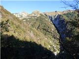 18
18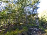 19
19 20
20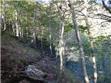 21
21 22
22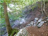 23
23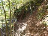 24
24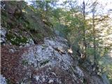 25
25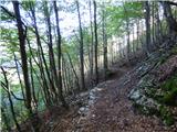 26
26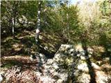 27
27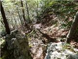 28
28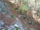 29
29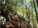 30
30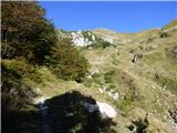 31
31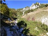 32
32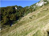 33
33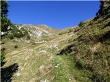 34
34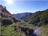 35
35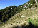 36
36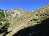 37
37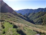 38
38 39
39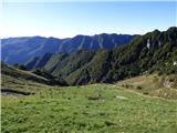 40
40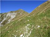 41
41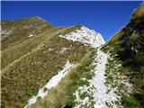 42
42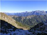 43
43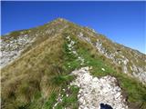 44
44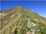 45
45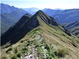 46
46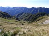 47
47 48
48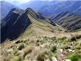 49
49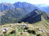 50
50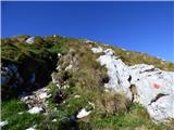 51
51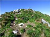 52
52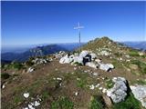 53
53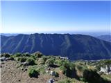 54
54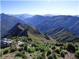 55
55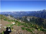 56
56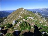 57
57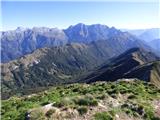 58
58
Discussion about the trip Tam na Meji - Monte Zajavor
|
| darinka424. 02. 2026 17:02:30 |
For me, one of the nicer tours in solitude. The path is marked. You just have to pray for nice weather. 
|
|
|
To post a comment you must log in:
If you do not yet have a username, you must first
register.