Sydney - Coogee Beach - Sydney - Bondi Beach
Starting point: Sydney - Coogee Beach (10 m)
| Latitude/Longitude: | -33,92108°N 151,25768°E |
| |
Walking time: 1 h 45 min
Difficulty: easy marked way
Elevation gain: 0 m
Elevation difference along the route: 150 m
Map:
Recommended equipment (summer):
Recommended equipment (winter):
Views: 365
 | 4 people like this post |
Access to starting point:
The beach is accessible by public transport, directly from the city (city bus no. 373) or indirectly via the hub at Bondi Junction railway station.
For public transport, an Opal city card is required.
Alternatives: taxi, Uber.
For GPS, enter: Coogee Beach, New South Wales, 2034, Australia.
Route description:
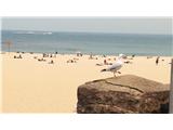
The coastal path from Coogee Beach to Bondi Beach is one of the very popular paths in Sydney. Along the path there are beautiful views of sandy beaches, bays, cliffs and the Australian culture of spending free time on the beach or catching waves.
The path is 6 kilometers long, the start is Coogee Beach. The path generally runs towards the north and passes by the districts Tamarama, Bronte, Clovelly Bay and Dolphins Point before ending at Coogee Beach. Return on foot or using public transport first to Bondi Junction and then to Bondi.
Along the route: Dolphins Point (40m), Clovelly Bay (5m), Bronte (30m), Tamarama (30m)
Photos:
 1
1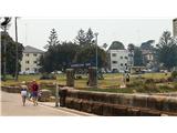 2
2 3
3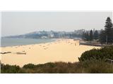 4
4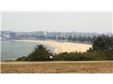 5
5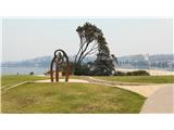 6
6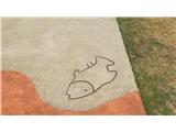 7
7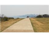 8
8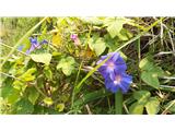 9
9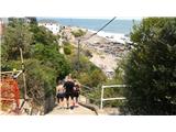 10
10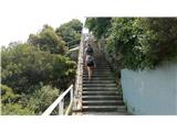 11
11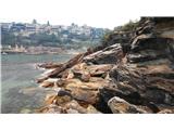 12
12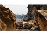 13
13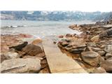 14
14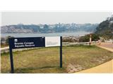 15
15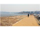 16
16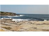 17
17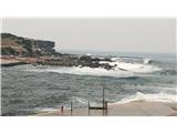 18
18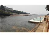 19
19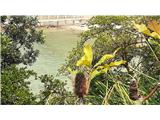 20
20 21
21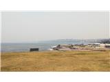 22
22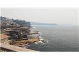 23
23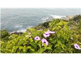 24
24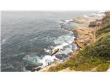 25
25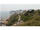 26
26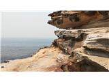 27
27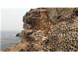 28
28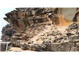 29
29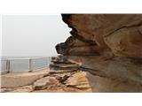 30
30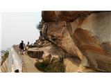 31
31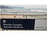 32
32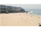 33
33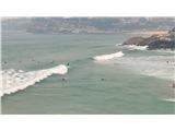 34
34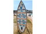 35
35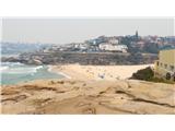 36
36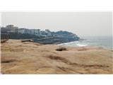 37
37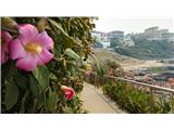 38
38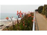 39
39 40
40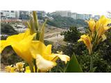 41
41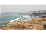 42
42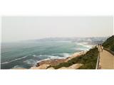 43
43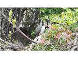 44
44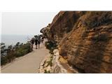 45
45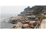 46
46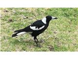 47
47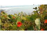 48
48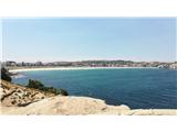 49
49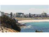 50
50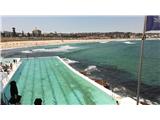 51
51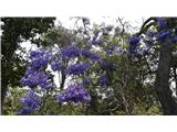 52
52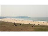 53
53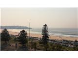 54
54
Discussion about the trip Sydney - Coogee Beach - Sydney - Bondi Beach
To post a comment you must log in:
If you do not yet have a username, you must first
register.