Žužalče / Susalitch - Zajčnik
Starting point: Žužalče / Susalitch (625 m)
| Latitude/Longitude: | 46,5455°N 13,844°E |
| |
Walking time: 3 h 35 min
Difficulty: easy marked way
Elevation gain: 1121 m
Elevation difference along the route: 1121 m
Map:
Recommended equipment (summer):
Recommended equipment (winter): ice axe, crampons
Views: 3.243
 | 1 person like this post |
Access to starting point:
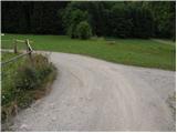
Over the border crossing Korensko sedlo we drive into Austria and then continue right towards Beljak / Villach. Still before we cross the river Zilja / Gail, we leave the road leading towards Beljak and continue driving right in the direction of Baško jezero / Faaker See. Further we drive towards the mentioned lake, but after the locality Stopca / Stobitzen we turn right towards Teharče / Techanting and Žužalče / Susalitch (the turn-off is poorly marked). In Teharče we turn right towards Žužalče, and then before we arrive in Žužalče we continue left onto a somewhat narrower road, where the blazes for Blekova planina / Blekowa Alm (path no. 685) also direct us. Further, we drive on a narrower macadam road which first leads through the forest and then brings us onto grassy terrain (pastures), where we arrive at a smaller crossroad. Here we continue left and then after a few tens of meters park at a suitable place by the road.
Route description:
Just a few meters after the road enters the forest, the blazes direct us left onto a marked cart track, and at the crossings we follow it right, where the mountain trail markers also direct us. After a few minutes of ascent we return to the road, and then we follow it for quite some time. At the road crossroads we follow the "main" road, and in a gentle to moderate ascent we follow it to Pridovske koče / Pridouhütten.
Here the road first slightly descends and brings us into a smaller valley, where from the right almost unnoticeably joins a marked but quite overgrown path from the village Grpiče / Korpitch. Here we bypass a few cottages, then the road turns sharply to the right and after a few tens of steps brings us to the spot where the blazes lead us left onto a footpath which then ascends through the forest. After a short ascent we return to the road and after 20 m leave it again. Just a few meters higher we cross the road for the last time, then we begin to ascend steeply through the forest. Higher we ascend over a steep grassy slope surrounded by lush shrubbery, then the path returns to the forest. Still a steep path, then it crosses a grazing fence and flattens behind it. A gentle ascent to the border ridge follows, and an increasingly panoramic path (view of Dobrač and Martuljek group) brings us to the shepherd hut on Blekova planina.
From the shepherd hut we return to the sign marking the state border, then continue towards the west, where we quickly notice at first a poorly visible path that turns slightly left into the forest. Through the forest we first ascend along a tractor track, then continue the ascent on a less trodden path that proceeds directly along the state border. Higher the rare Austrian blazes end, and we follow the increasingly faint path along the border ridge. After a few minutes the path flattens and brings us out of the forest onto a partly panoramic meadow, where the path finally disappears. We continue along the ridge and after a minute or two of further walking arrive at the summit of Zajčnik.

The trip can be extended to the following destinations: Vošca
Photos:
 1
1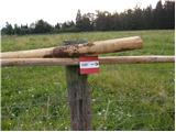 2
2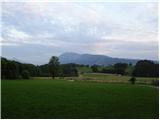 3
3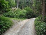 4
4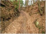 5
5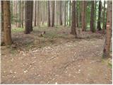 6
6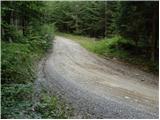 7
7 8
8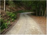 9
9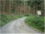 10
10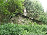 11
11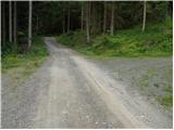 12
12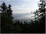 13
13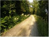 14
14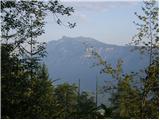 15
15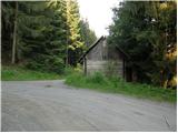 16
16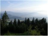 17
17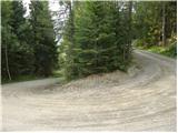 18
18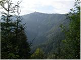 19
19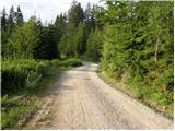 20
20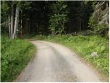 21
21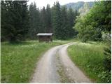 22
22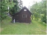 23
23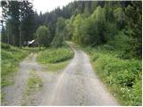 24
24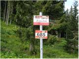 25
25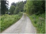 26
26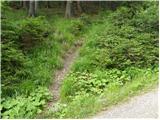 27
27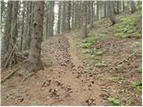 28
28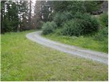 29
29 30
30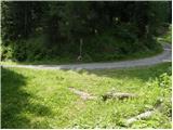 31
31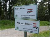 32
32 33
33 34
34 35
35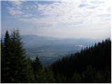 36
36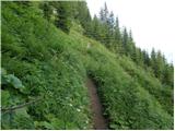 37
37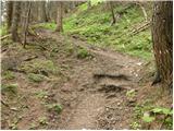 38
38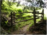 39
39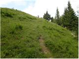 40
40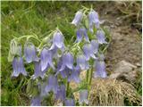 41
41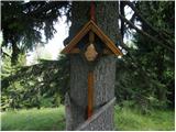 42
42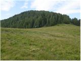 43
43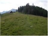 44
44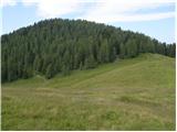 45
45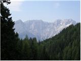 46
46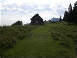 47
47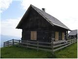 48
48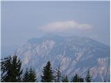 49
49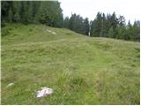 50
50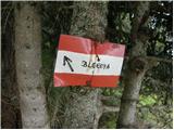 51
51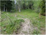 52
52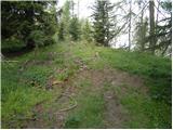 53
53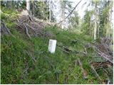 54
54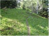 55
55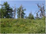 56
56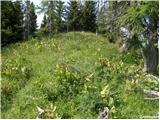 57
57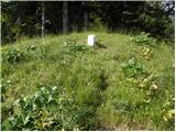 58
58 59
59
Discussion about the trip Žužalče / Susalitch - Zajčnik
To post a comment you must log in:
If you do not yet have a username, you must first
register.