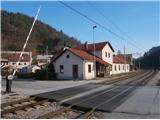
Starting point: Štore (240 m)
| Latitude/Longitude: | 46,2213°N 15,3215°E |
| |
Walking time: 2 h 30 min
Difficulty: easy marked way
Elevation gain: 410 m
Elevation difference along the route: 555 m
Map: Posavsko hribovje Boč - Bohor 1:50.000
Recommended equipment (summer):
Recommended equipment (winter):
Views: 10.020
 | 3 people like this post |
Access to starting point:
Štore is ideally reachable with Slovenian Railways. By car... we exit the motorway in Celje and from practically the center of Celje head towards Štore or Šentjur. We park the car near the Štore railway station, where there are plenty of parking spaces available and also the start of the marked hiking trail.
Route description:
The trail starts at the railway station in Štore. We head across Voglajna, where a direction sign immediately sends us left a few dozen elevation meters up the hill. At the first building immediately left and follow the hiking trail through the forest directly above Voglajna. At the exit from the forest in the settlement Draga we follow the meadow trail also directly above Voglajna and continue along the asphalt road to the bridge over the Voglajna river or the junction called Opoka. Left over the bridge goes the trail to Dramlje, Konjiško gora..., right along the narrower forest road over Kompol and Šentjanž higher into the hill world above Štore and Celje, we continue straight on the asphalt road and after a few hundred meters through the settlement Prožinska vas and turn slightly left three times consecutively. Of course the trail is appropriately marked with blazes, signs and easy to follow. Further we transition to a cart track which after a few hundred meters slightly downhill brings us to a stream which after a few hundred meters we cross with the aid of a small bridge, continue at the water supply facility, small water spring where we can quench our thirst and wooden cross. Soon after the cross we distance ourselves from the water and continue higher past the hayrack and through the farmyard. Behind the farm somewhat steeper up the hill partly on road and continue on meadow trail where soon we cross the forest road. With the aid of a few meters of steel cables we continue higher on pleasant forest trail and soon from the left joins the trail from Šentjur.
We continue on somewhat wider forest trail under the only farm in this part and further somewhat right through the forest where after a few hundred meters we reach the asphalt road leading higher. Further we follow the asphalt road and after a few hundred meters from the left joins the steep trail from Šentjur.
We continue further on asphalt surface and with the help of wooden steps to the meadow plateau where at the NOB monument we turn right onto the forest/delivery road to the Resevna hut and soon reach the hut.
From the hut of course we extend a few steps higher to the modern observation tower.
Trail length is about 6500 meters, 585 positive and 60 negative elevation meters.

Photos:
 1
1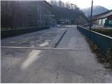 2
2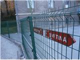 3
3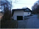 4
4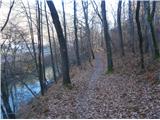 5
5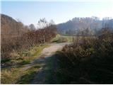 6
6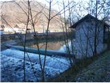 7
7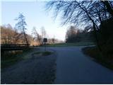 8
8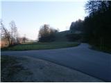 9
9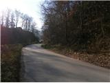 10
10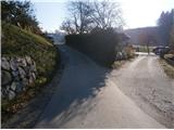 11
11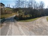 12
12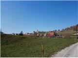 13
13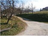 14
14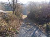 15
15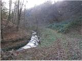 16
16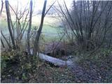 17
17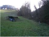 18
18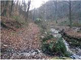 19
19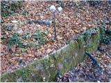 20
20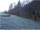 21
21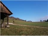 22
22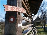 23
23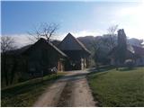 24
24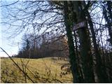 25
25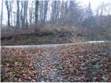 26
26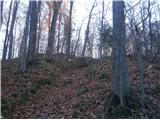 27
27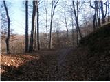 28
28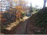 29
29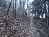 30
30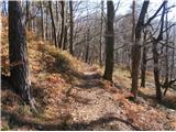 31
31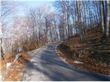 32
32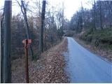 33
33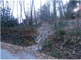 34
34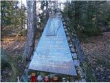 35
35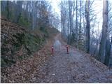 36
36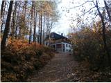 37
37 38
38
Discussion about the trip Štore - Resevna
|
| bruny10. 03. 2016 |
Today on Thursday 10.03.2016 in the evening ascent along the described path...Beautiful views from the tower on a clear night. Descent not done to Štore. Maybe more on conditions...Lp
|
|
|
|
| garmont25. 01. 2020 |
At the trailhead in Štore there is a signpost for Resevna with 2.5 hours walking time marked.
I think it holds true.
|
|
|
|
| Tadej25. 01. 2020 |
Thanks for the notice, I've corrected it.
|
|
|
|
| Marusaorel23. 10. 2022 21:51:19 |
Nice path. But I would like to remind that the sign where you have to turn right up the meadow behind the homestead (I think that's picture 25) unfortunately isn't there. Therefore you easily miss it and go straight past the house, although there are signs for private property and no entry
|
|
|
|
| Mark06. 12. 2022 23:53:39 |
The trail description needs updating.
At the start of the trail is a new railway station with underpass.
Construction works are underway, most of the trail will now be a cycling path Celje - Štore - Šentjur. Completion planned by end of 2023.
|
|
|
To post a comment you must log in:
If you do not yet have a username, you must first
register.